
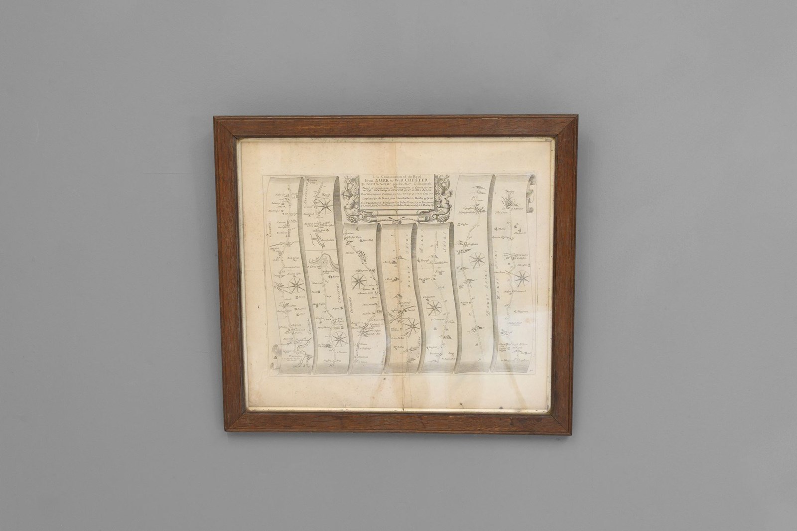
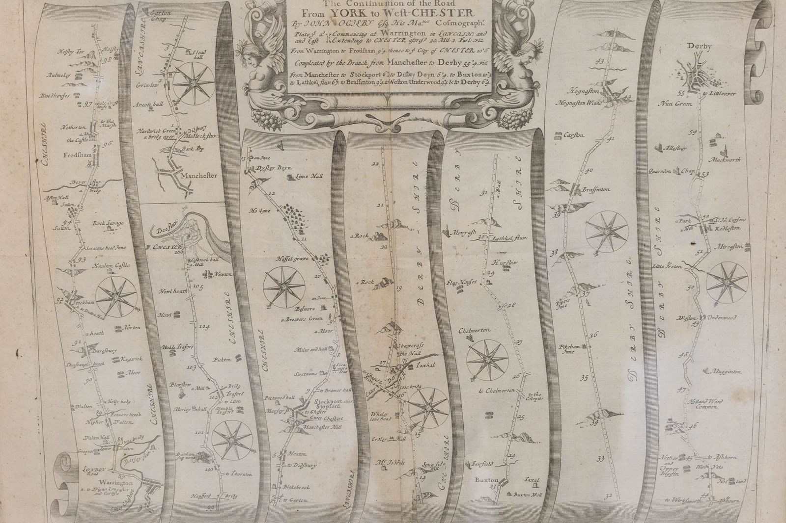
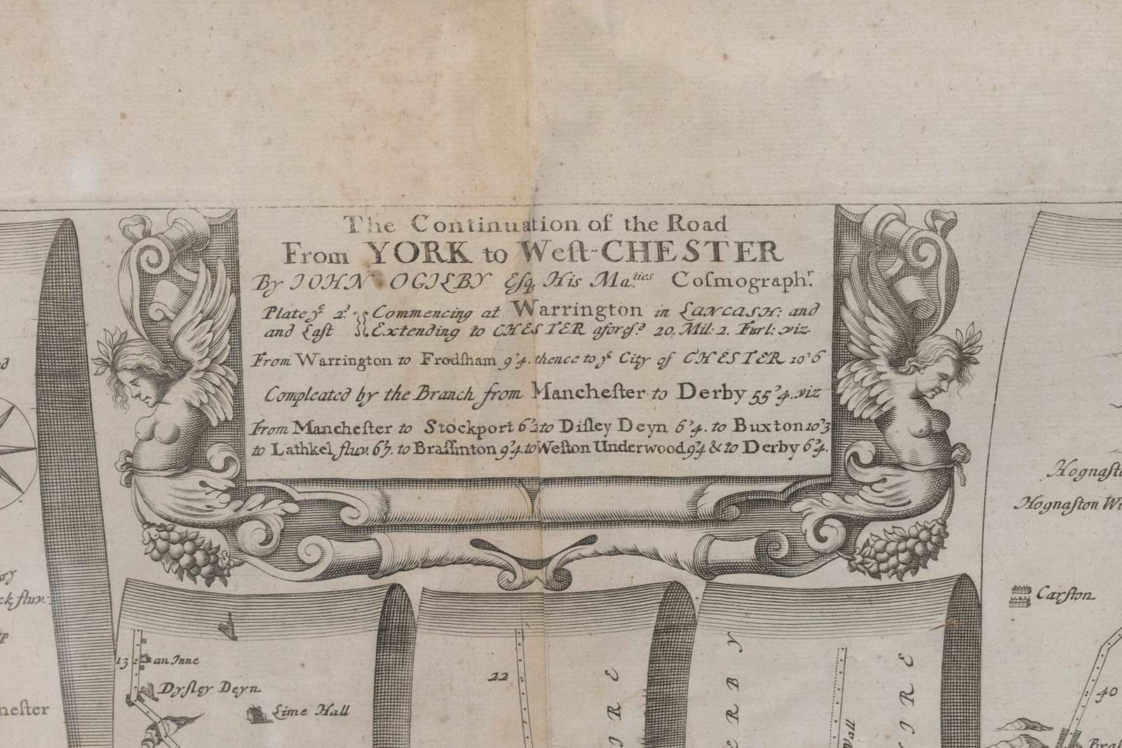

Map Of The York To Weft-Chester Road
Stock No
978425
2010
- £165.00
- €193 Euro
- $221 US Dollar
Questions about this item?
Like this item?
Item Description
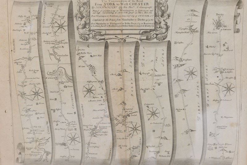
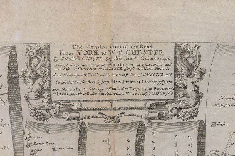
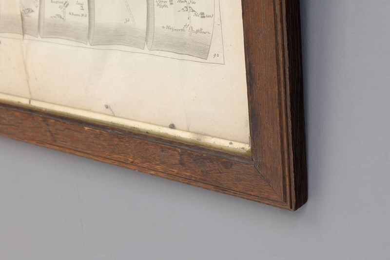
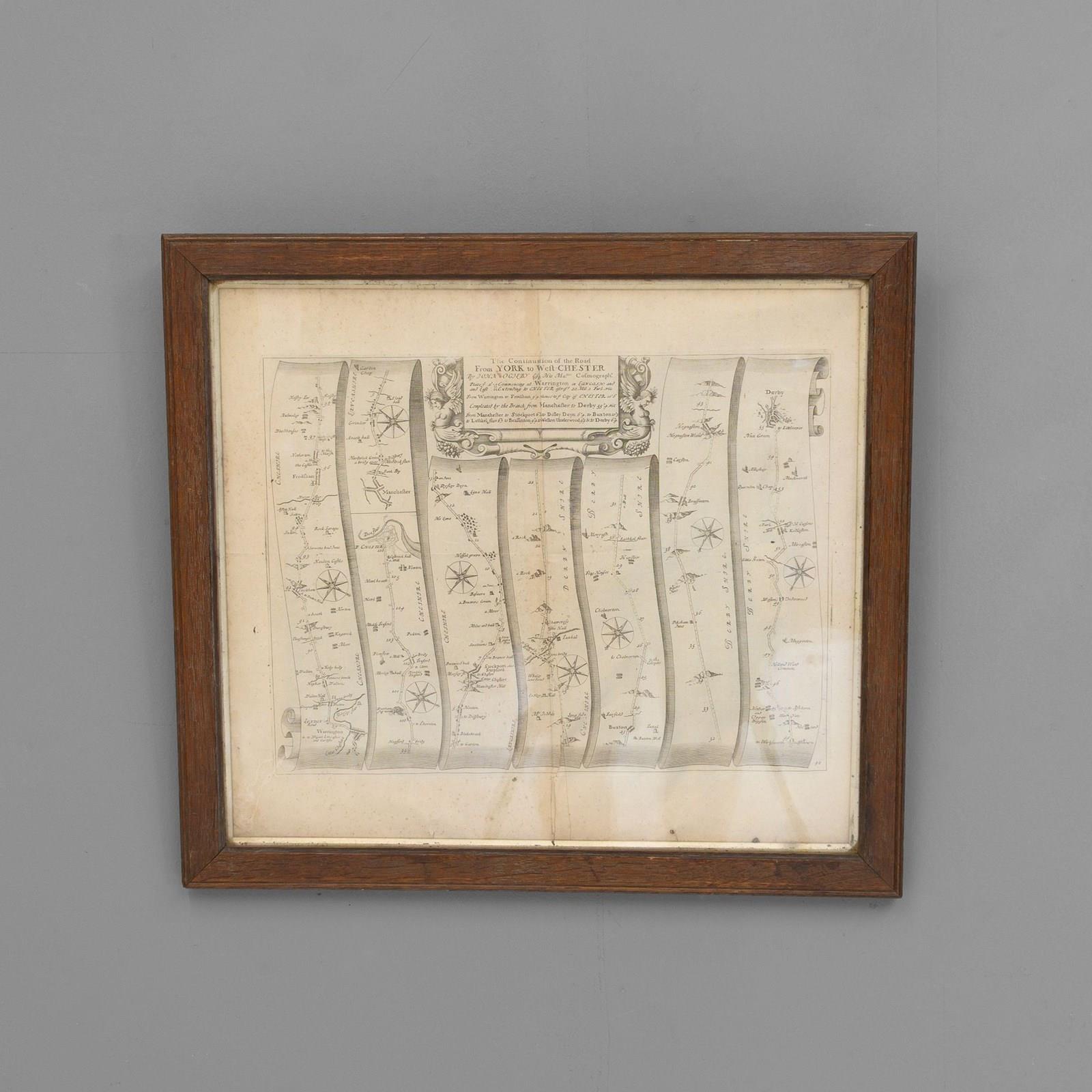
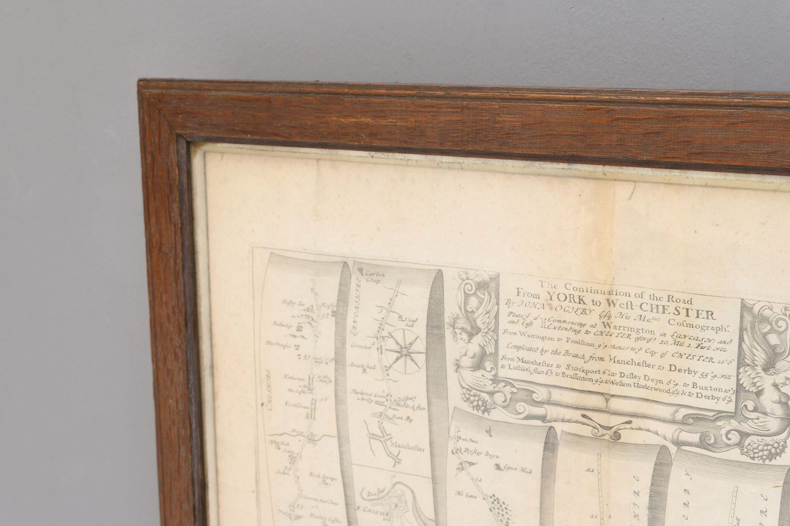
A road map or strip map by John Ogilby, showing the route from Warrington to Derby, taken from the 1698 edition of Ogilby’s ‘Britannia’ map. Later solid oak frame.
U.K circa 1700.
H 52cm x W 58cm x D 3cm
Item Info
Seller
Seller Location
Fulham, Yorkshire
Item Dimensions
H: 52cm W: 58cm D: 3cm
Period
1700
Item Location
United Kingdom
Seller Location
Fulham, Yorkshire
Item Location
United Kingdom
Seller Contact No
+44 (0)114 2588288
+44 (0)7768 832616
More from DJ GREEN ANTIQUES