Antique City Of Exeter Map, English, Framed, Atlas Excerpt, Georgian, Circa 1805
Stock No
26289
2024
- £195.00
- €233 Euro
- $261 US Dollar
Questions about this item?
Like this item?
Item Description
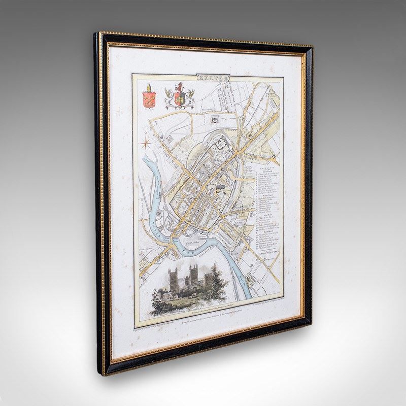
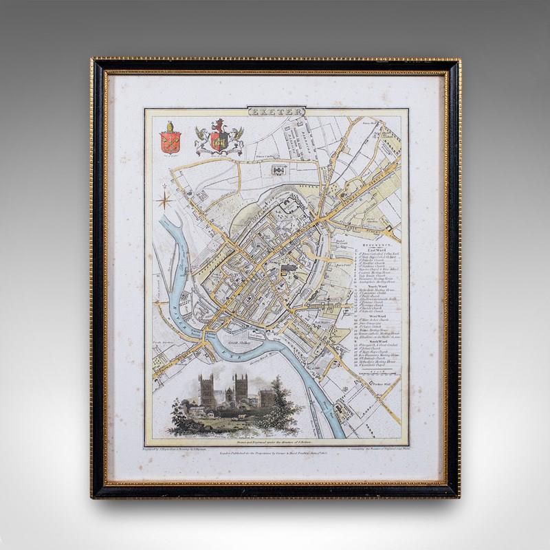
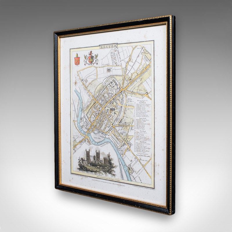
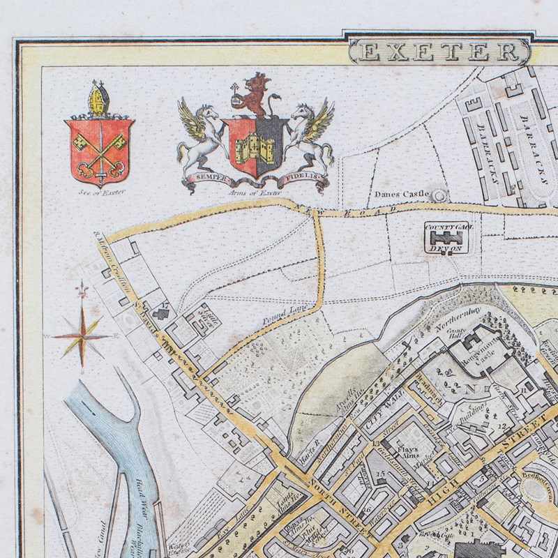
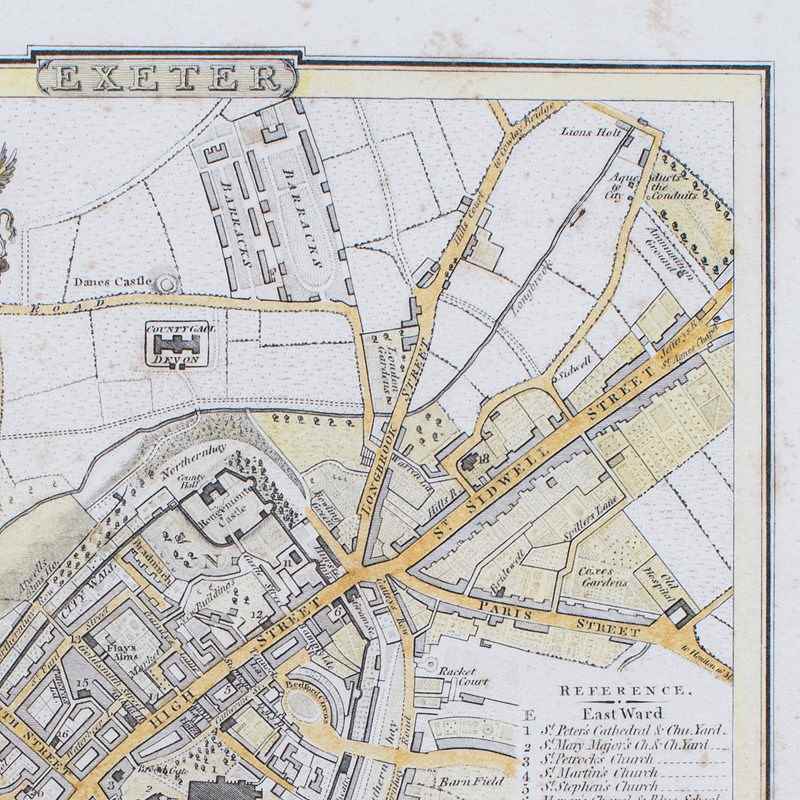
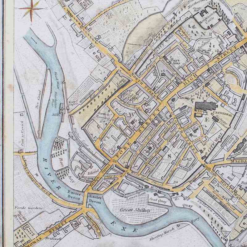
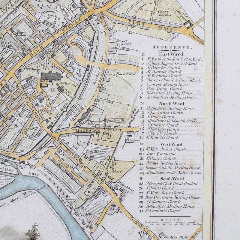
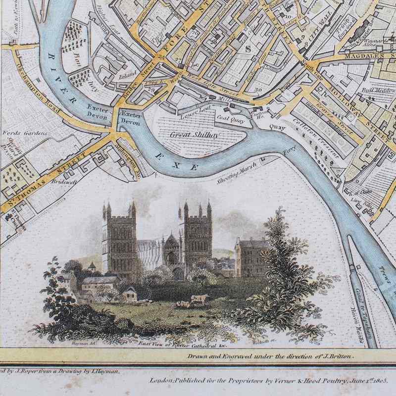
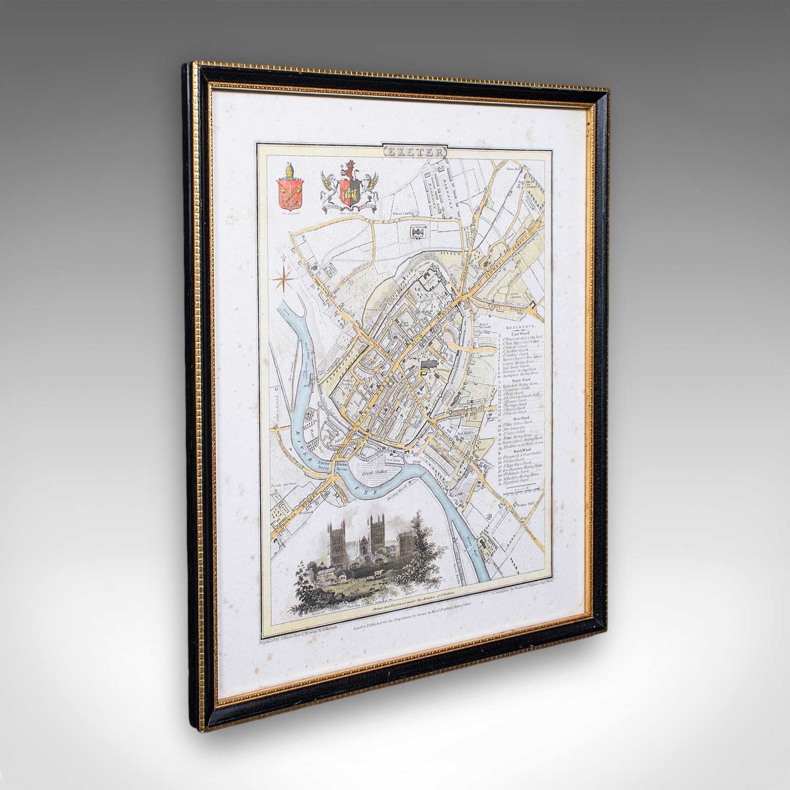
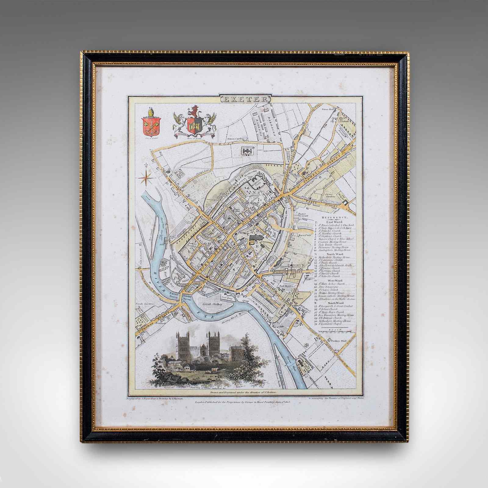
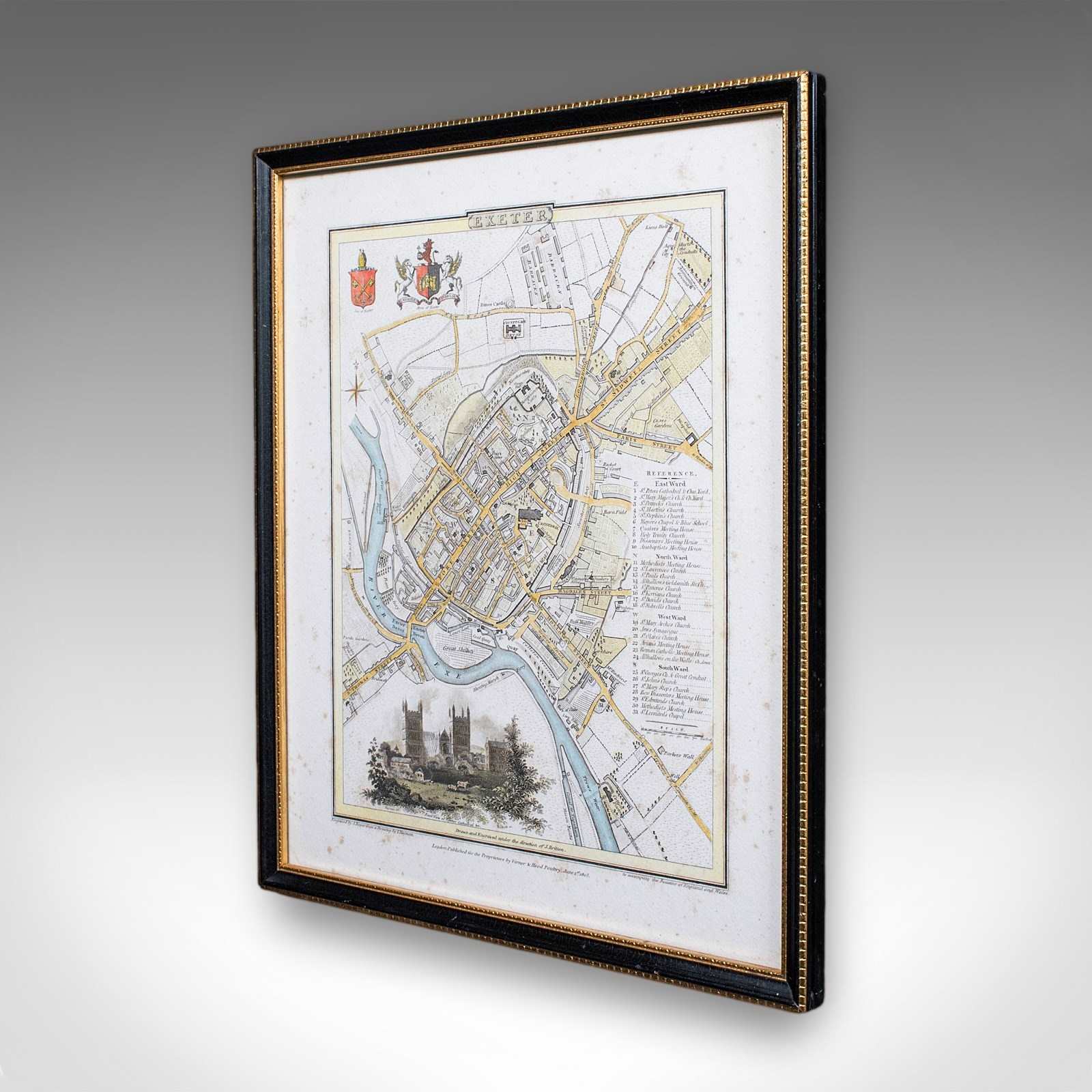
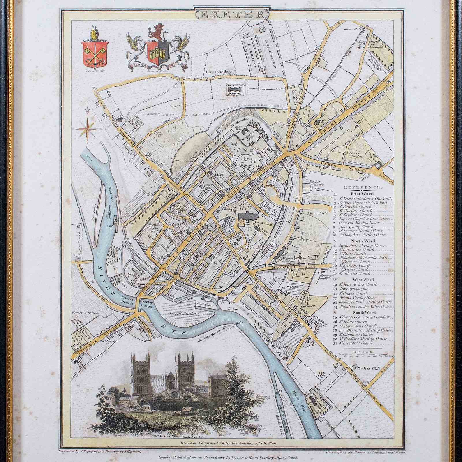
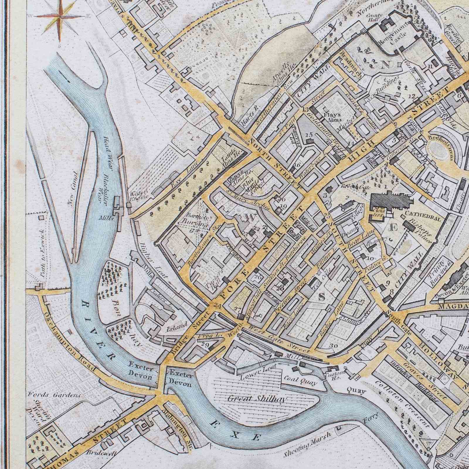
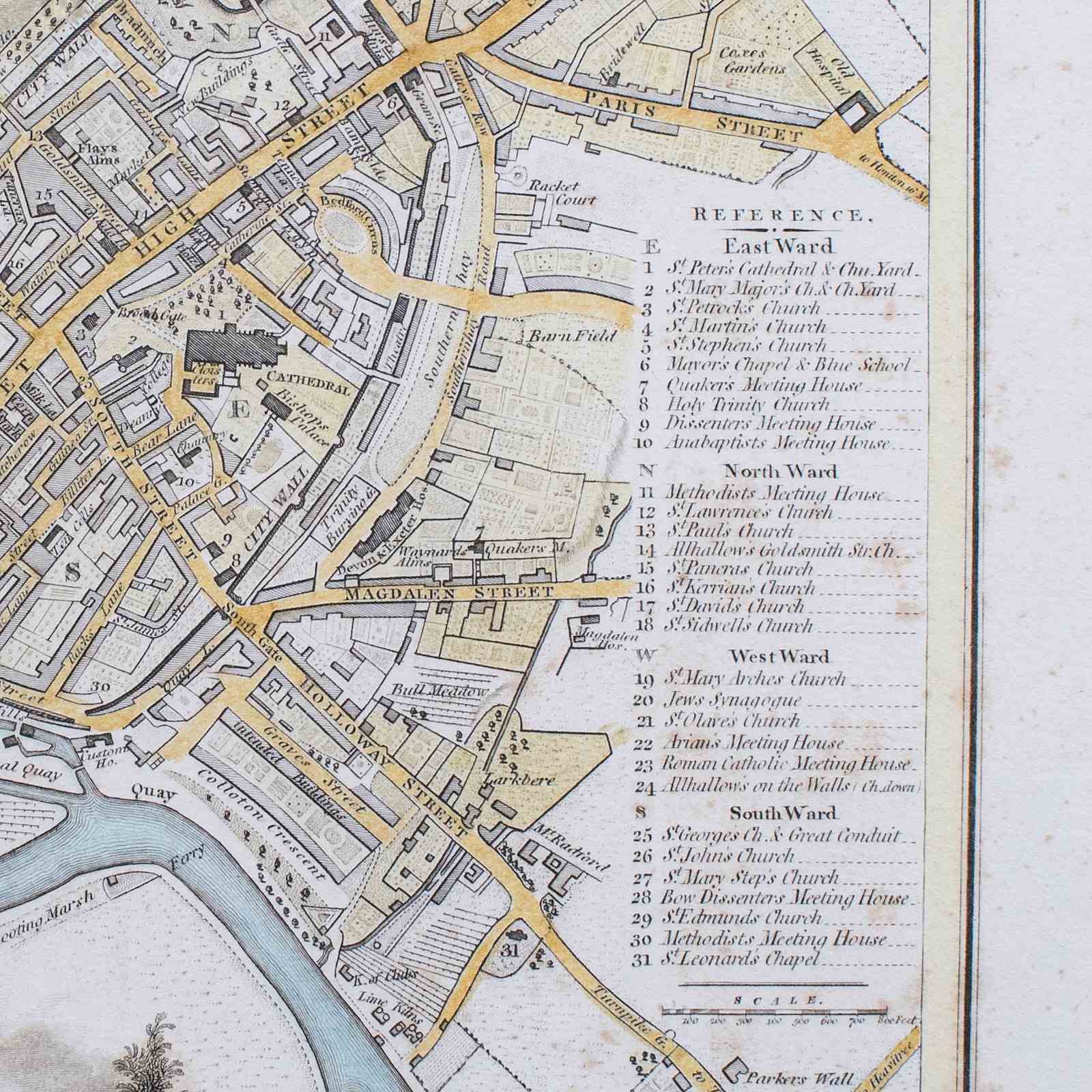
This is an antique City of Exeter Map. An English, framed atlas excerpt by Cole and Roper, dating to the Georgian period, circa 1805.
Pleasingly preserved atlas excerpt, showing the Devon city during the Georgian period
Displays a desirable aged patina, with minimal foxing commensurate with age
Presented behind clear, bright glass within a tasteful later frame
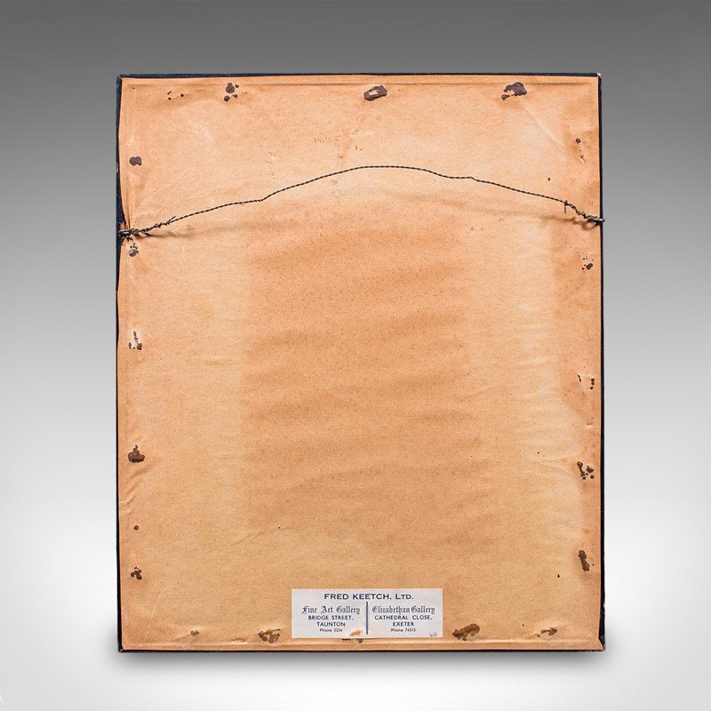
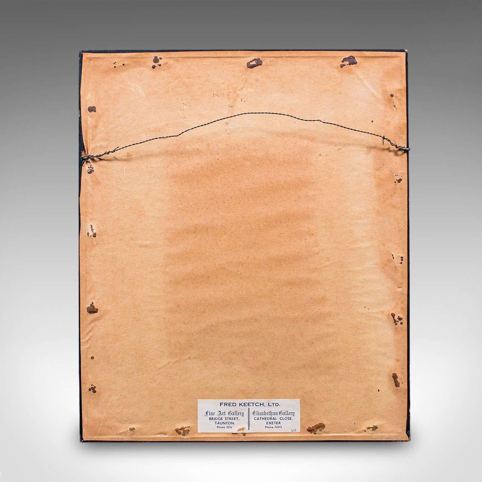
Finished with ebonised and gilt tones with mounting wire to the reverse
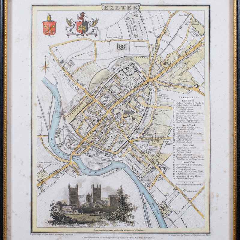
Superb copperplate Itaglio committed to the contemporary laid paper
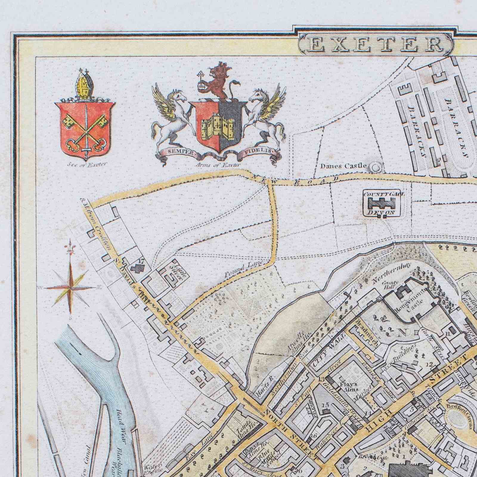
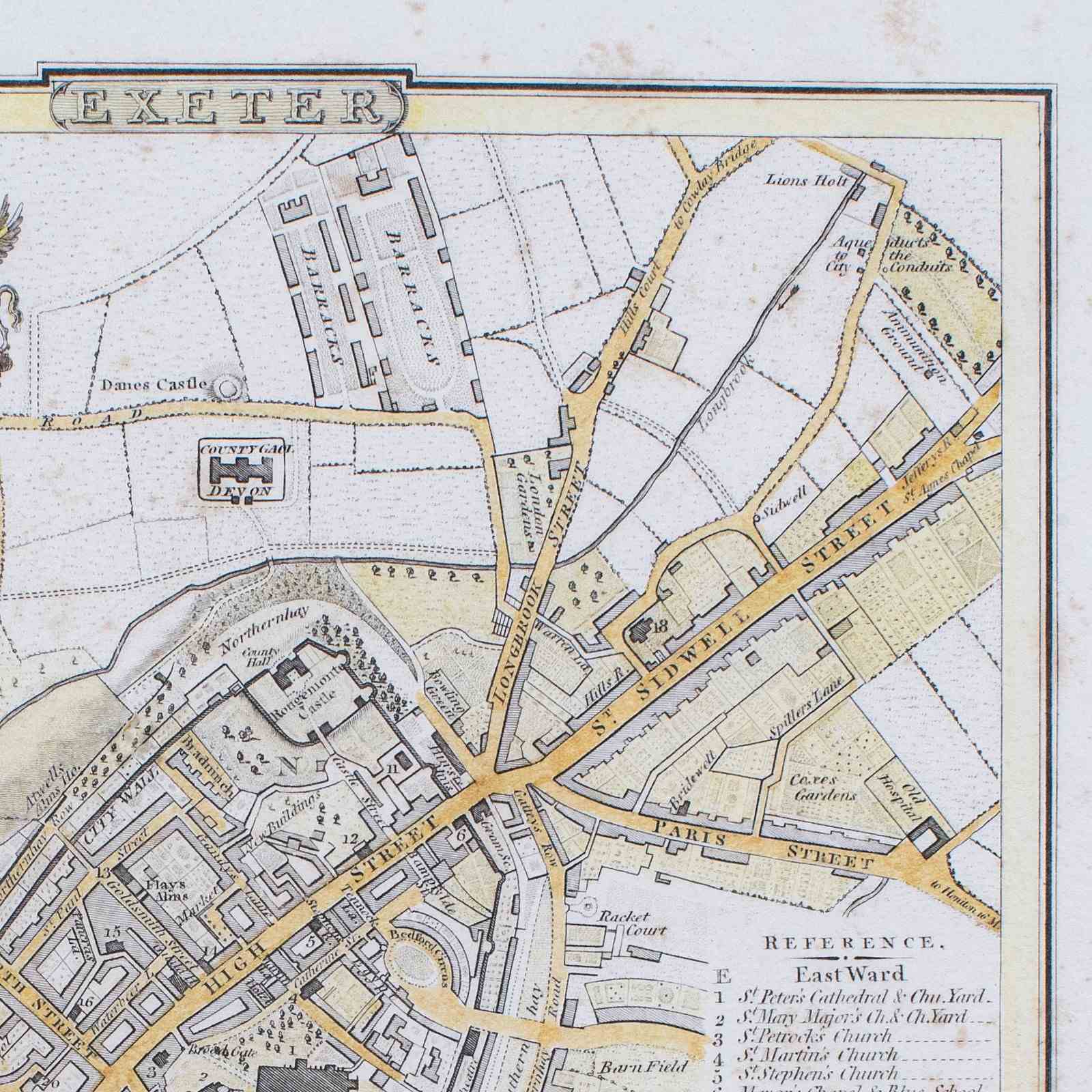
Hand coloured, the streets of Exeter and river accentuated in yellow and blue respectively
Reference to the side lists the North, East, South and West administrative wards
Bears the coat of arms and See of Exeter emblems in full colour
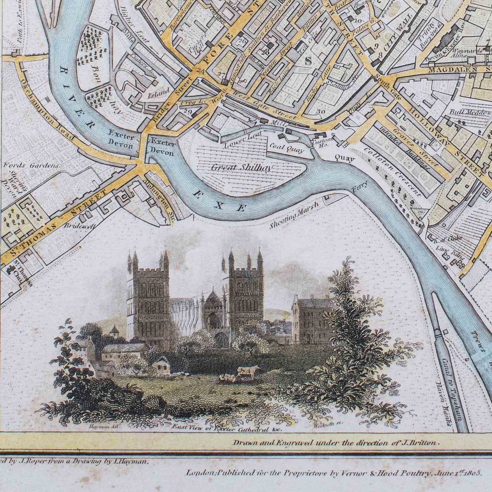
Delightful vignette shows the Eastern view of the striking Cathedral
Reproduced here for Vernor & Hood of 31 Poultry, London in 1805
Significant for being the publishers of The Beauties of England and Wales series
This publication was a major Georgian period work, across multiple volumes
This is a fascinating antique City of Exeter map, offering a Georgian period insight into the street layout of the city in the early 19th century. Delivered ready to display.
Dimensions:
Max Width: 24.5cm (9.75'')
Max Depth: 1cm (.5'')
Max Height: 29.5cm (11.5'')
Map Width: 22.5cm (8.75'')
Map Height: 27.5cm (10.75'')
Item Info
Seller
Seller Location
Hele, Devon
Item Dimensions
H: 29.5cm W: 24.5cm D: 1cm
Period
1800s
Item Location
United Kingdom
Seller Location
Hele, Devon
Item Location
United Kingdom
Seller Contact No
+44 (0)207 1833511
More from LONDON FINE ANTIQUES