

Antique Italian Region Map, Framed Cartography, 18Th Century, Emilia Romagna
Stock No
25994
2024
- £895.00
- €1,049 Euro
- $1,197 US Dollar
Questions about this item?
Like this item?
Item Description
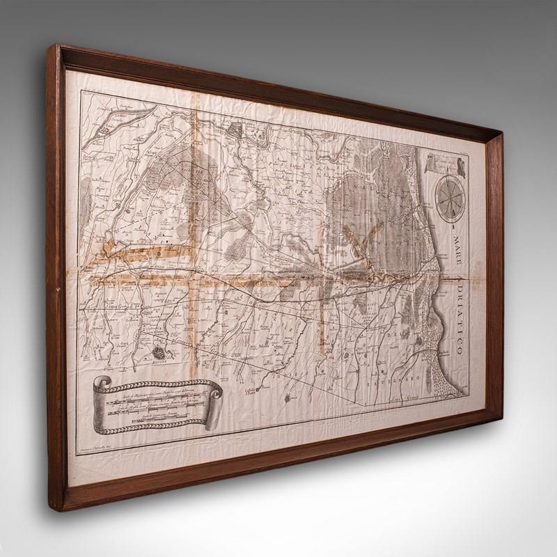
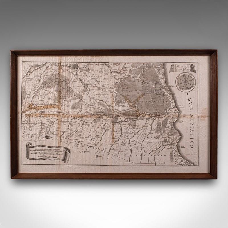
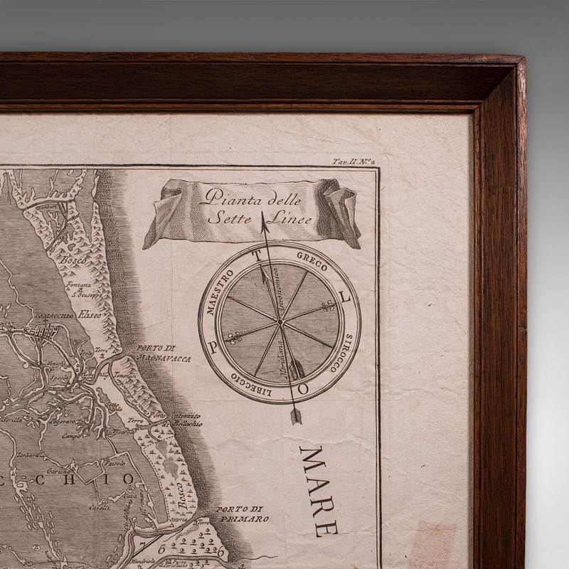
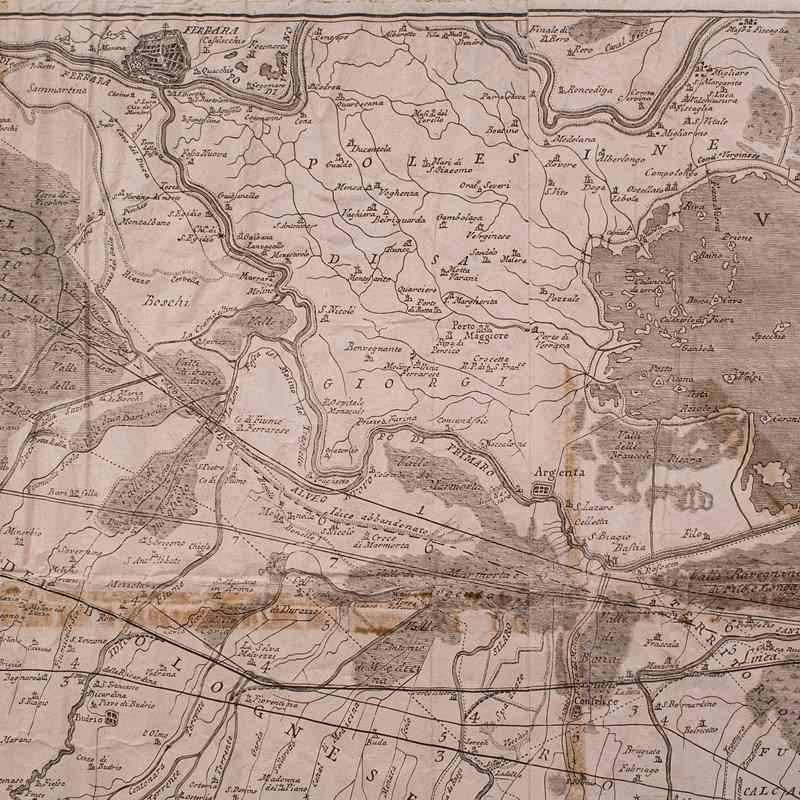
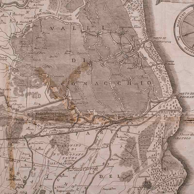
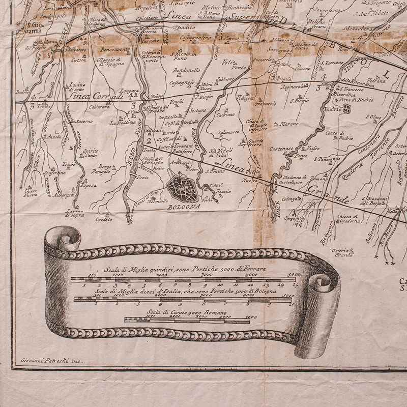
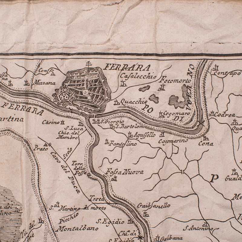
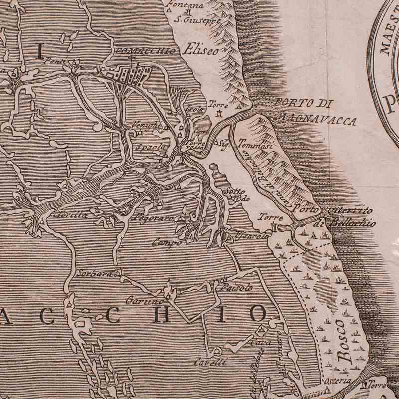
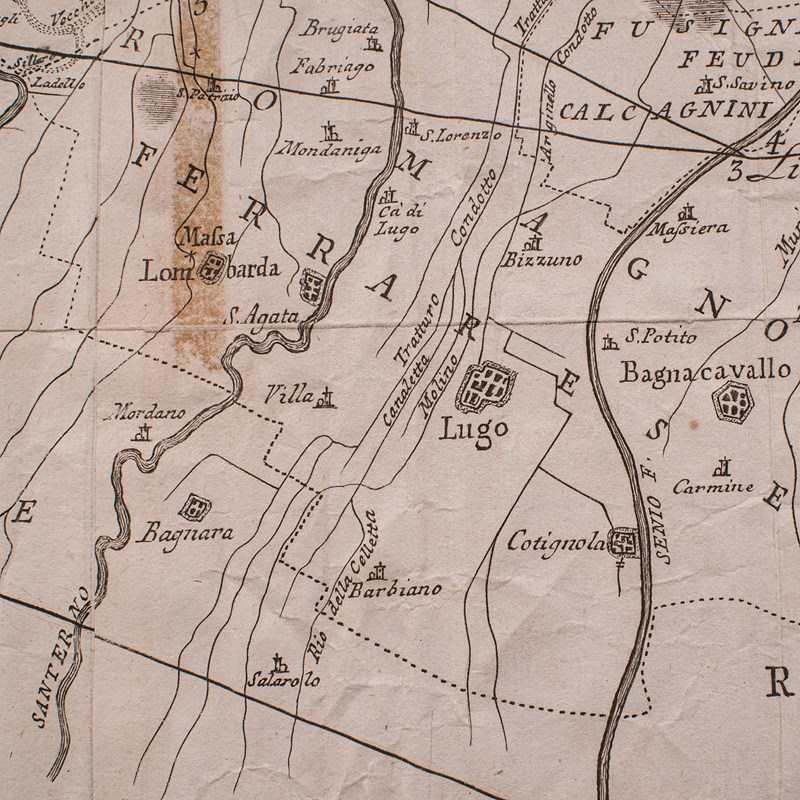
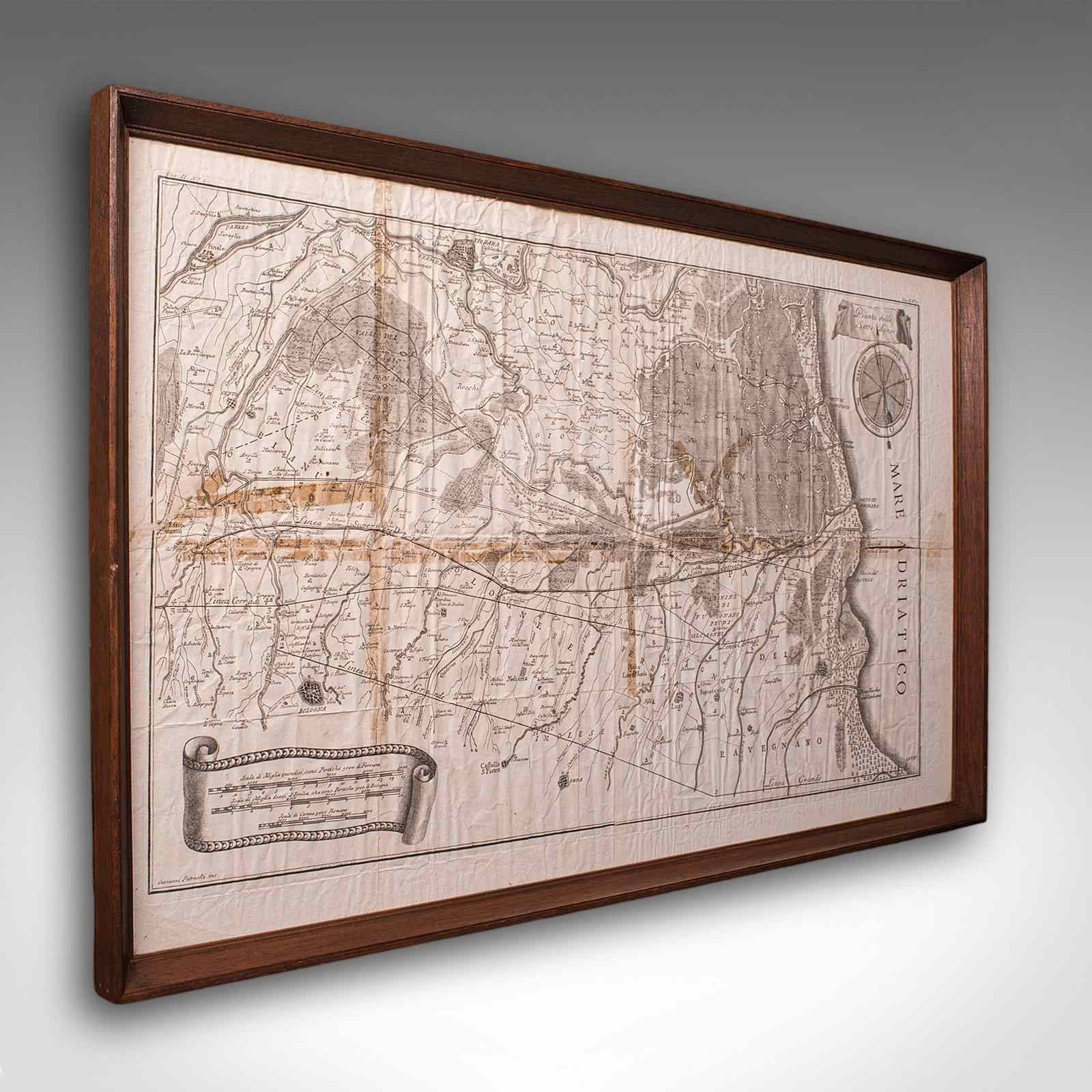
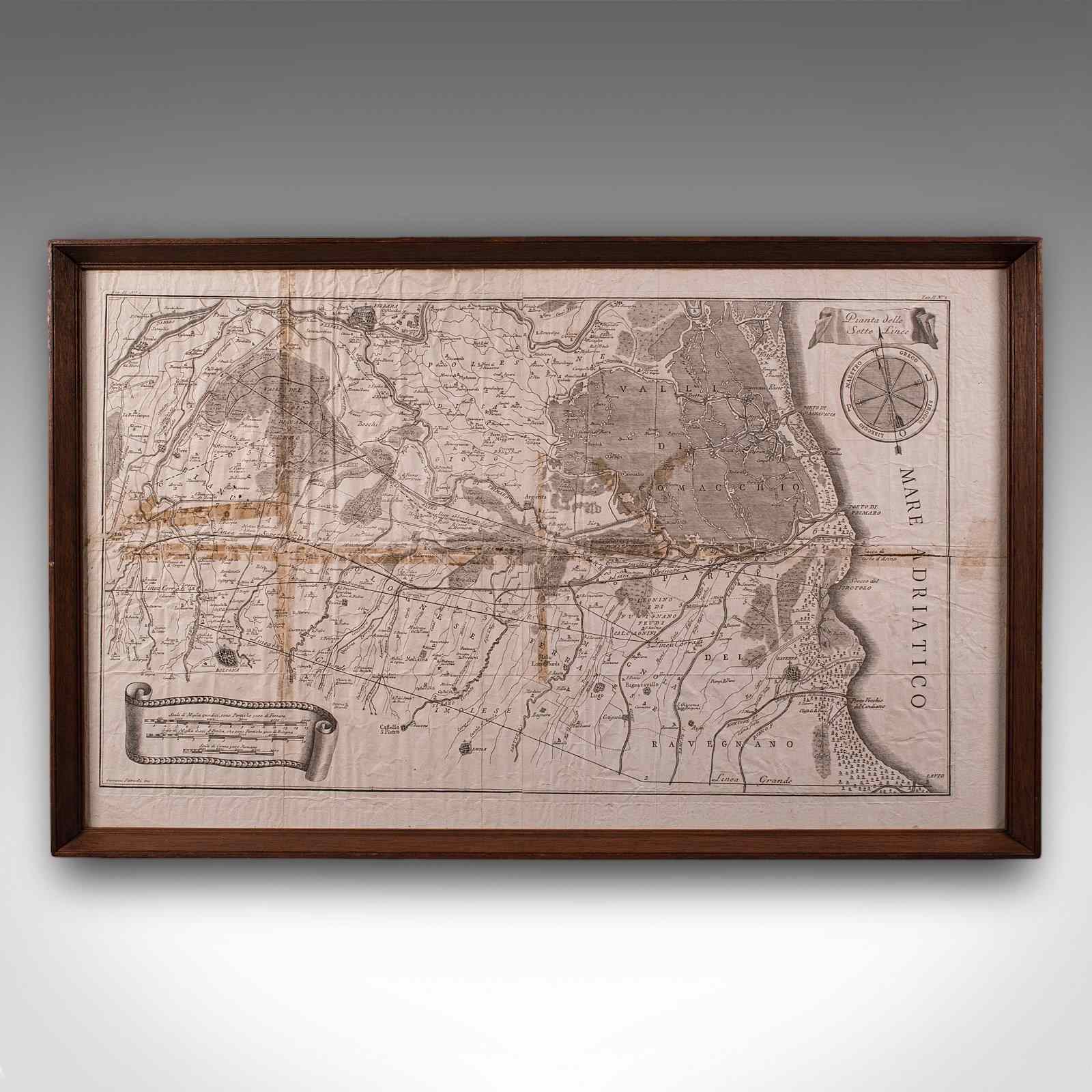
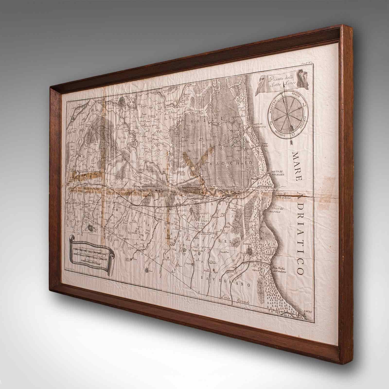
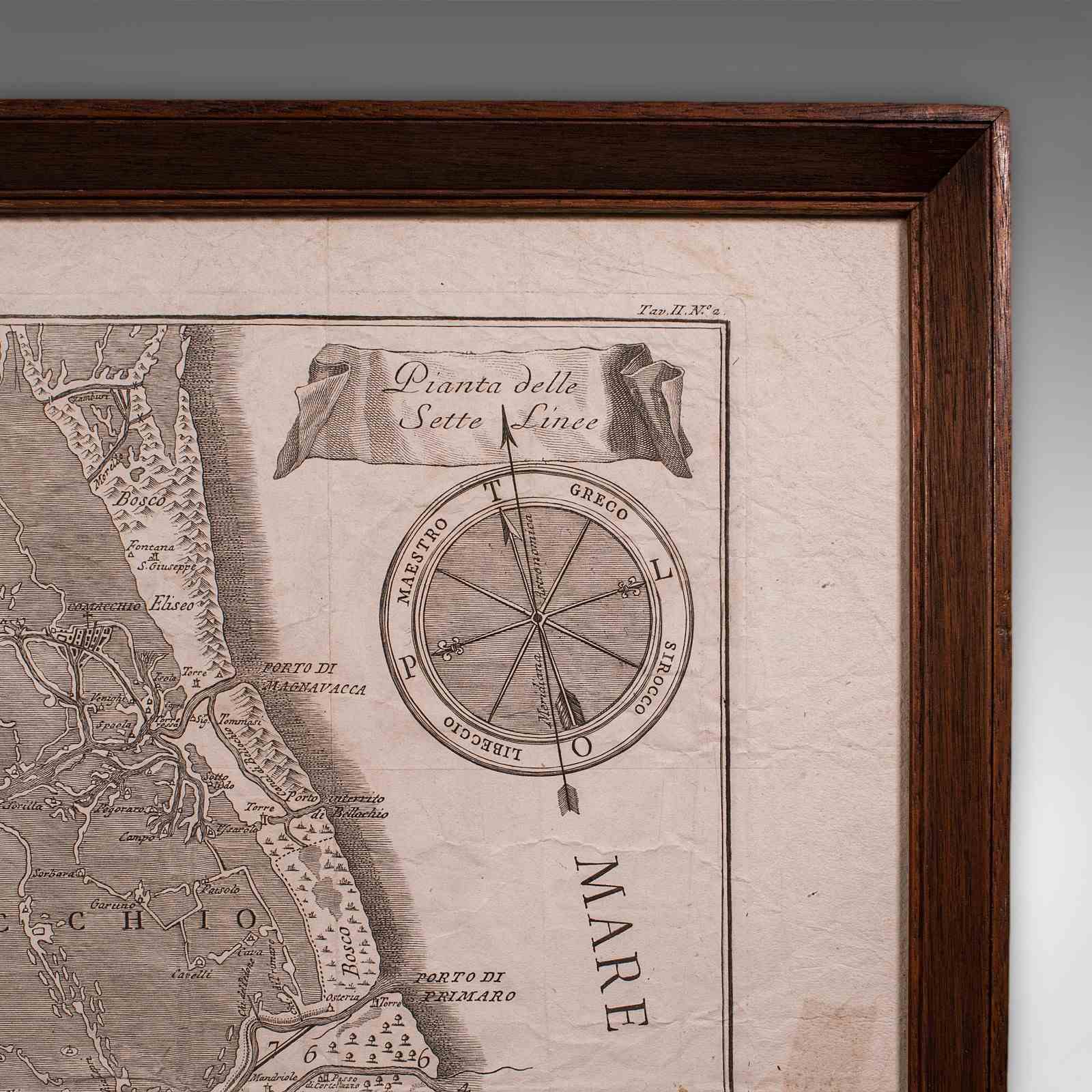
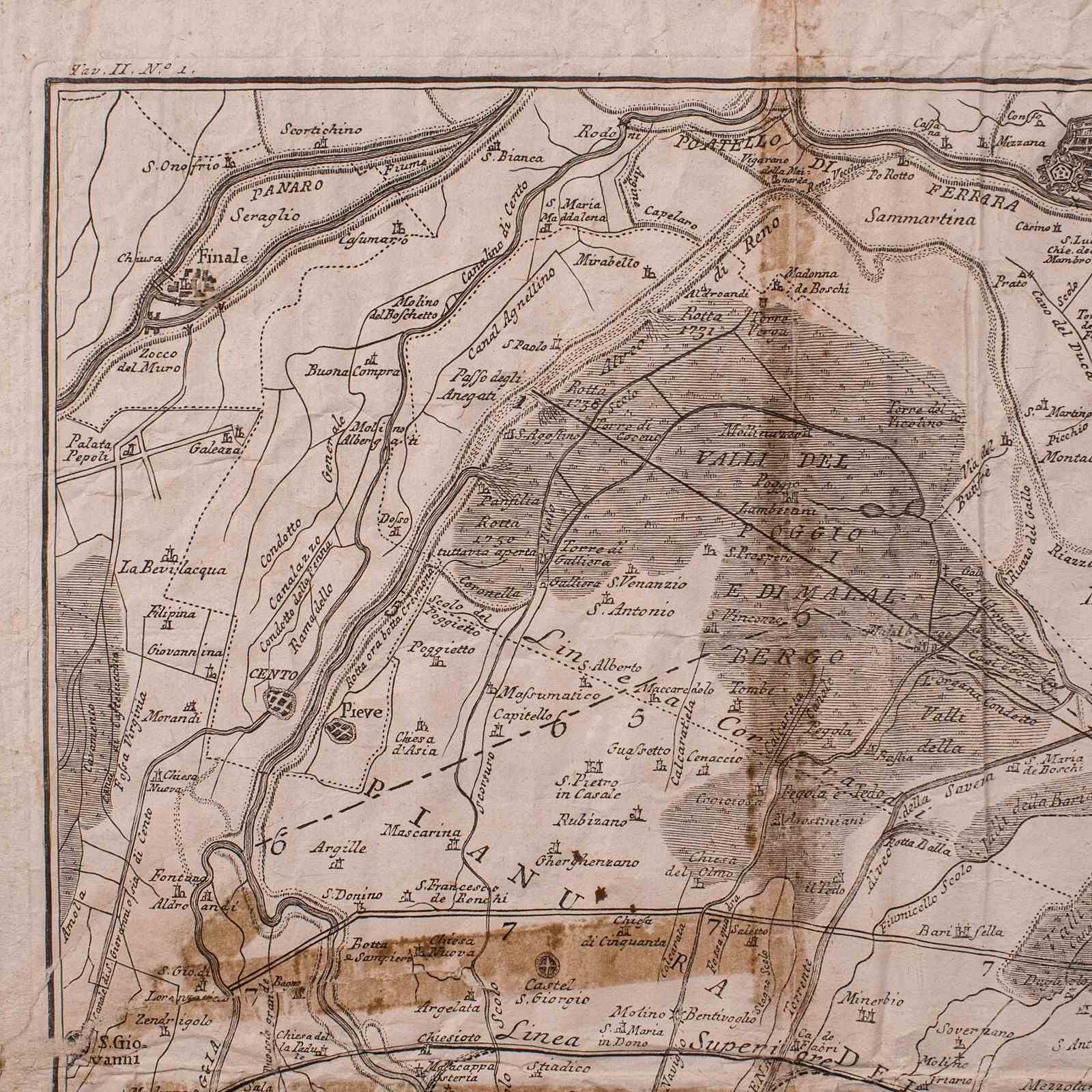
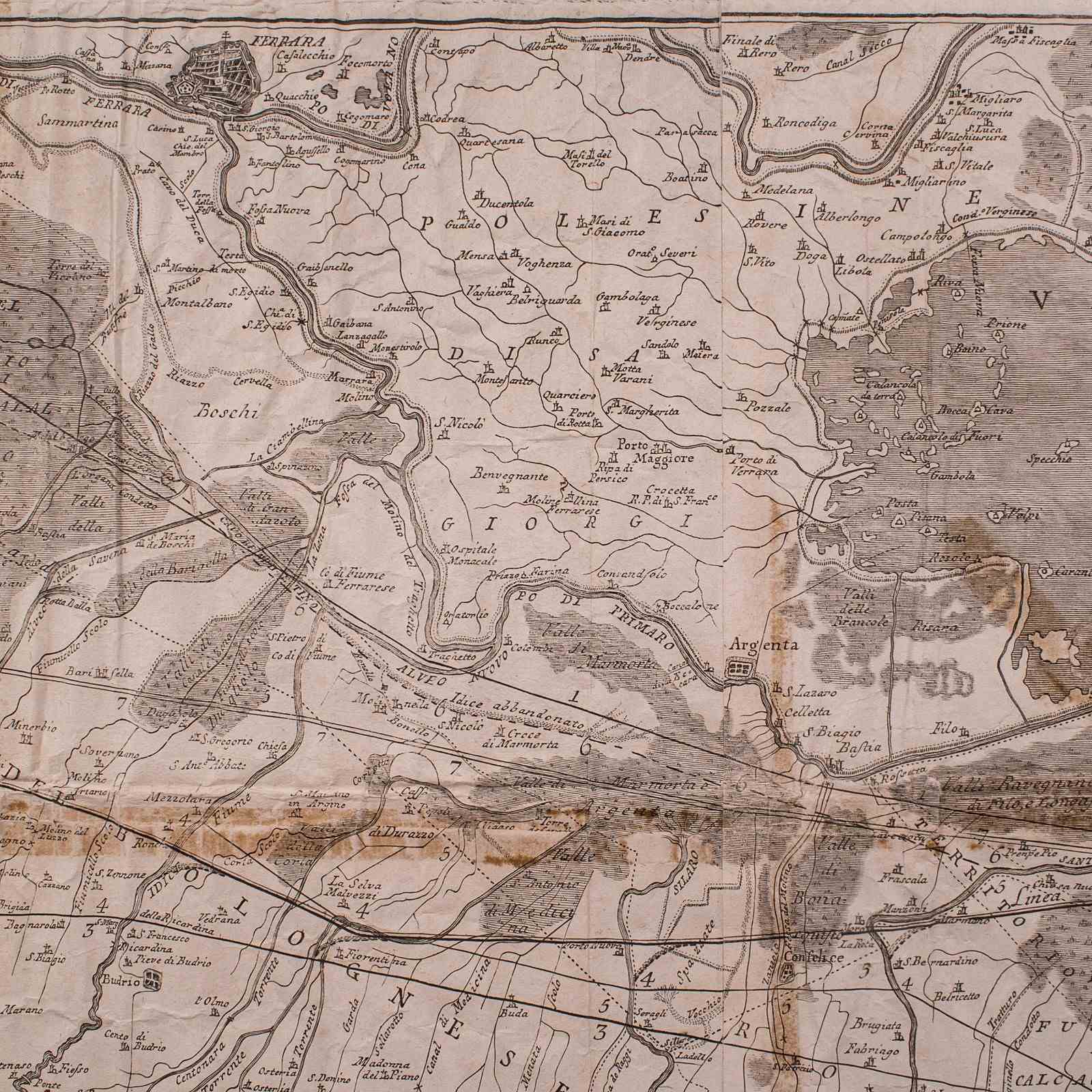
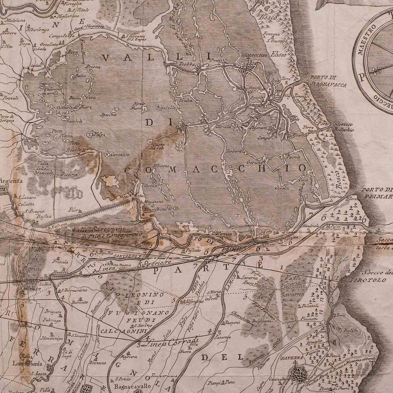
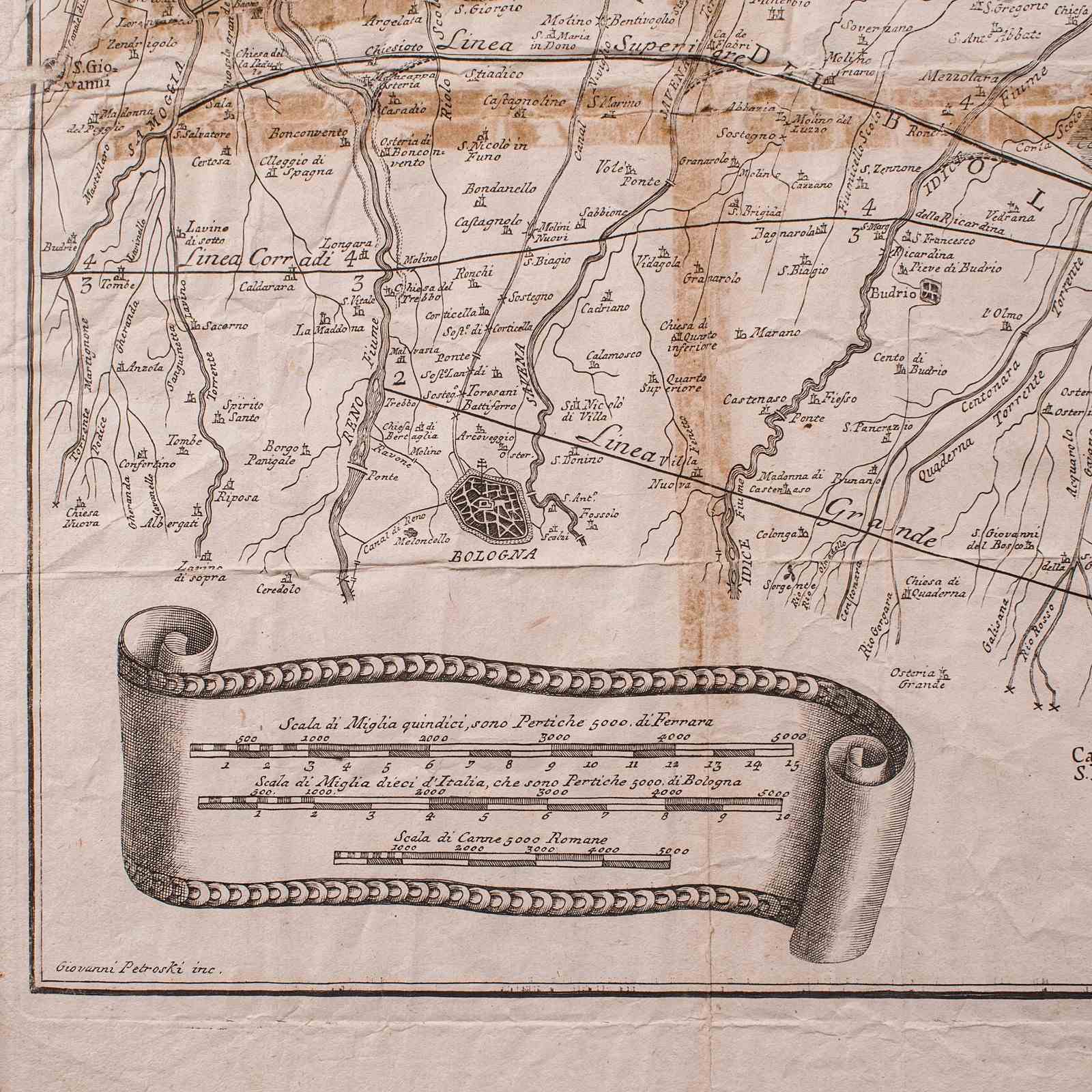
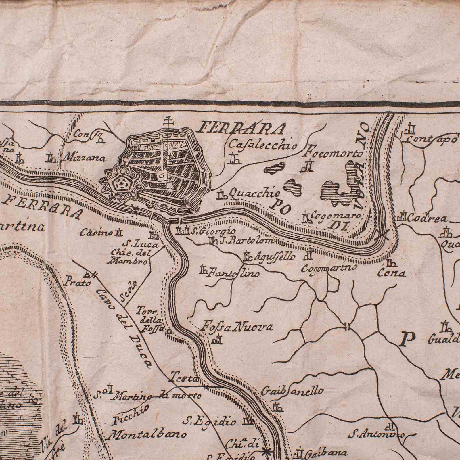
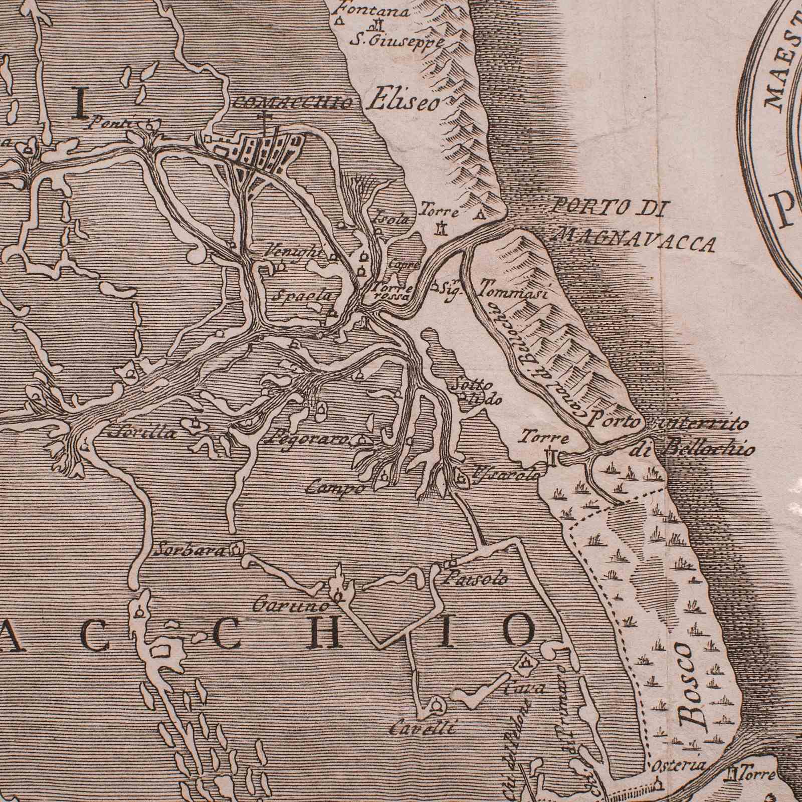
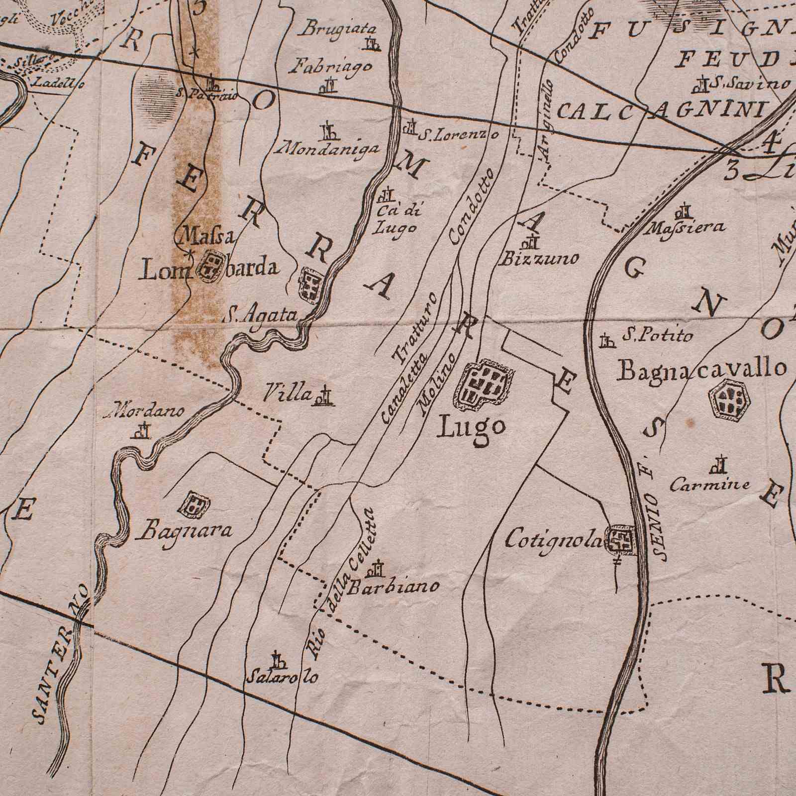
This is an antique Italian region map. A framed cartographic representation of the Adriatic coast and Eastern Emilia-Romagna in the 18th century, engraved by Giovanni Petroski.
Fascinatingly time-worn before mounting, and with excellent cartographic detail
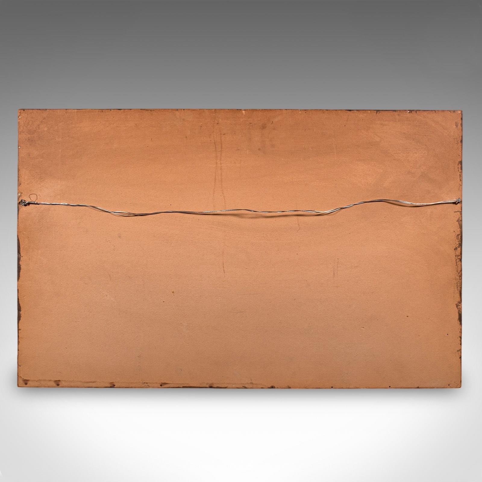
Displays a desirable aged patina behind a later glazed frame
Some aged repairs and hand used creasing enhances the antique feel
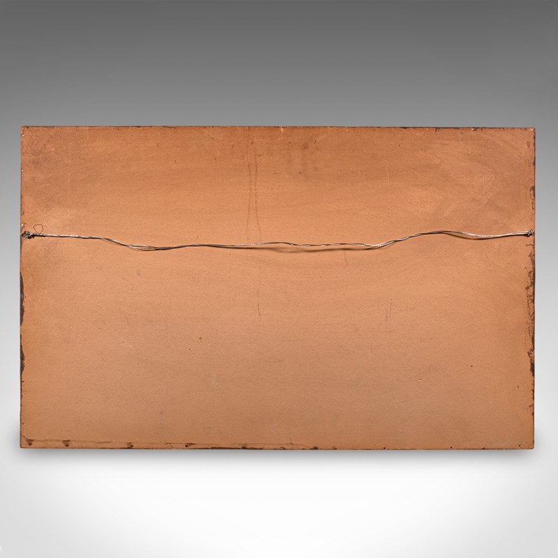
Deep mahogany frame dressed to the rear with hanging wire for ease of mounting
Compiled in the 18th century, likely provided within a large volume publication
Shows many regional highlights, including towns, areas and visual topography
This is a generously proportioned and historically aged region map, with an abundance of charm and detail. Delivered ready to display.
Dimensions:
Max Width: 78cm (30.75'')
Max Depth: 3cm (1.25'')
Max Height: 48.5cm (19'')
Map Width: 68cm (26.75'')
Map Height: 39cm (15.25'')
Item Info
Seller
Seller Location
Hele, Devon
Item Dimensions
H: 48.5cm W: 78cm D: 3cm
Period
1750s
Item Location
United Kingdom
Seller Location
Hele, Devon
Item Location
United Kingdom
Seller Contact No
+44 (0)207 1833511
More from LONDON FINE ANTIQUES