Antique London Street Map, Aldersgate, English, Framed, The Barbican, Georgian
Stock No
26150
2024
Questions about this item?
Like this item?
Item Description
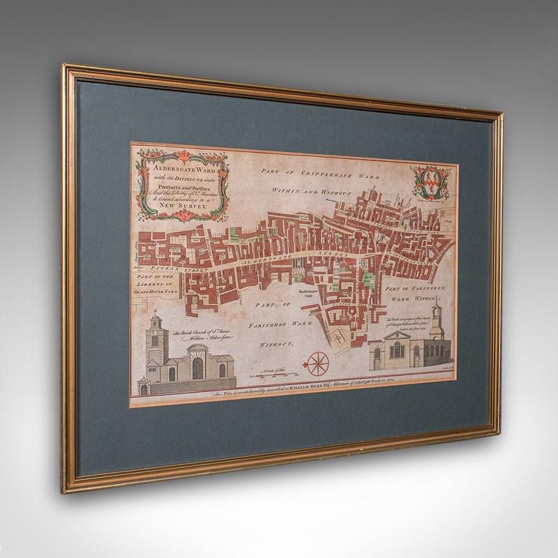
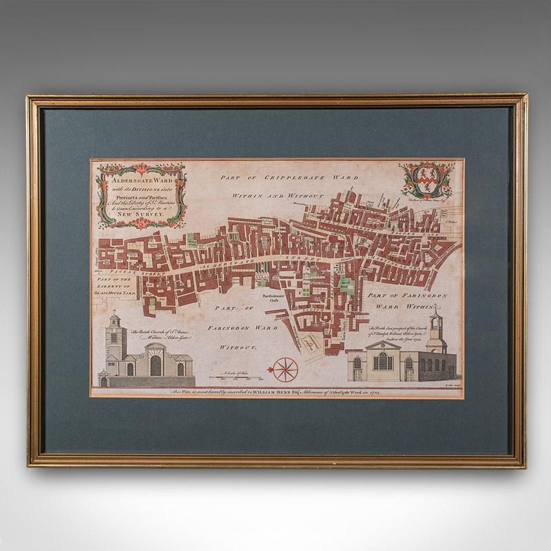
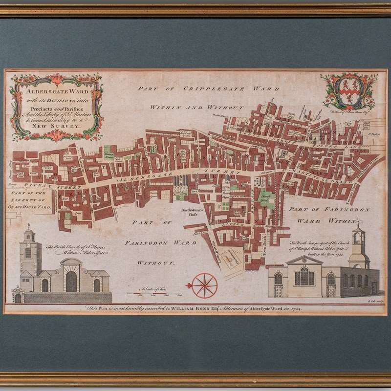
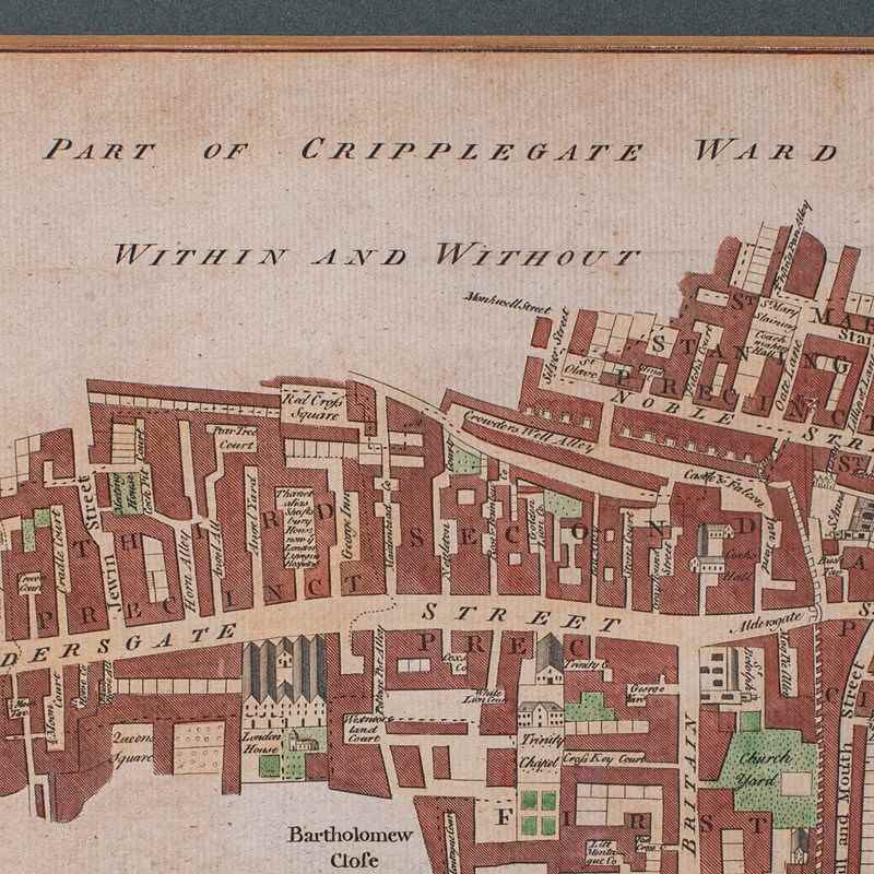
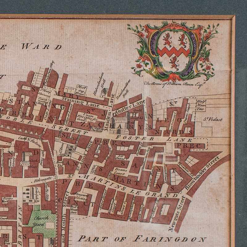
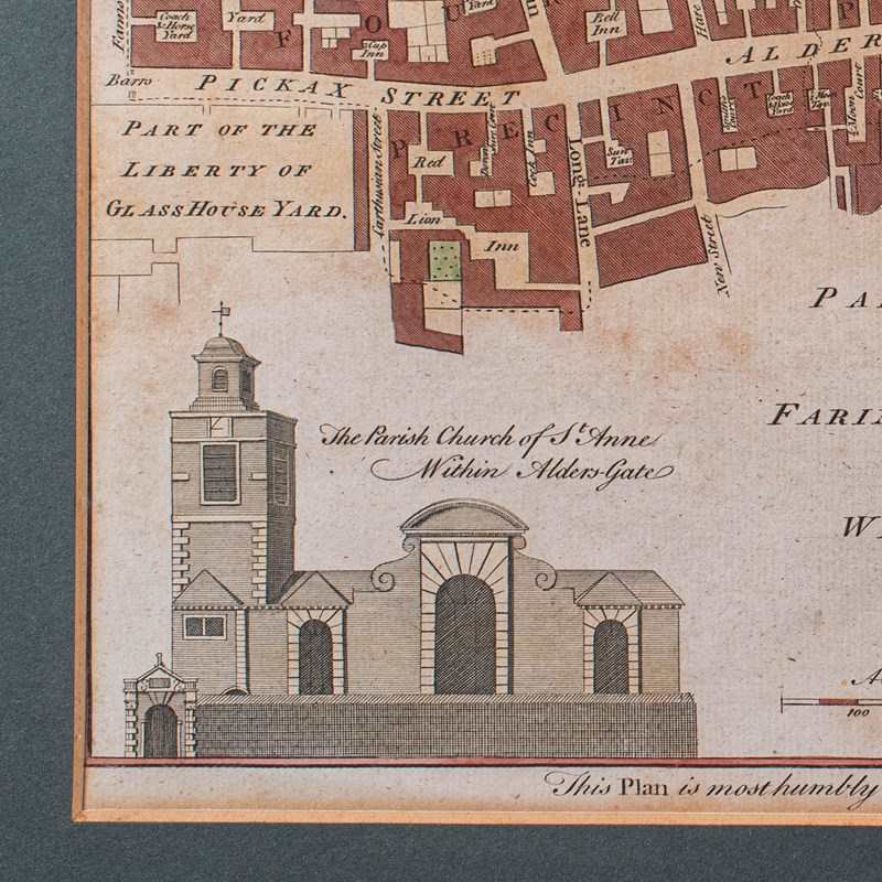
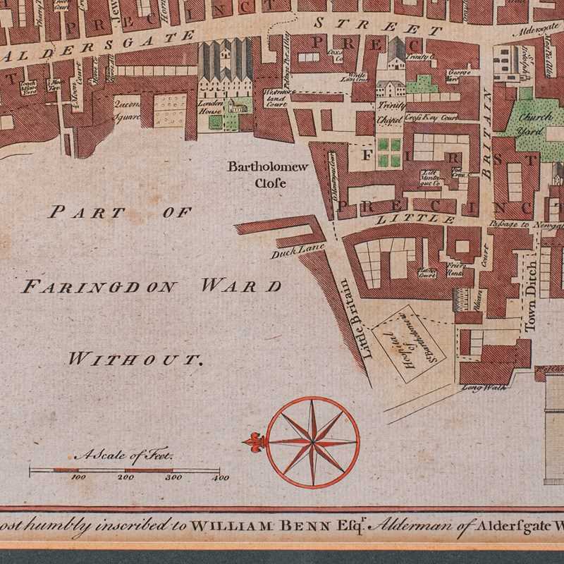
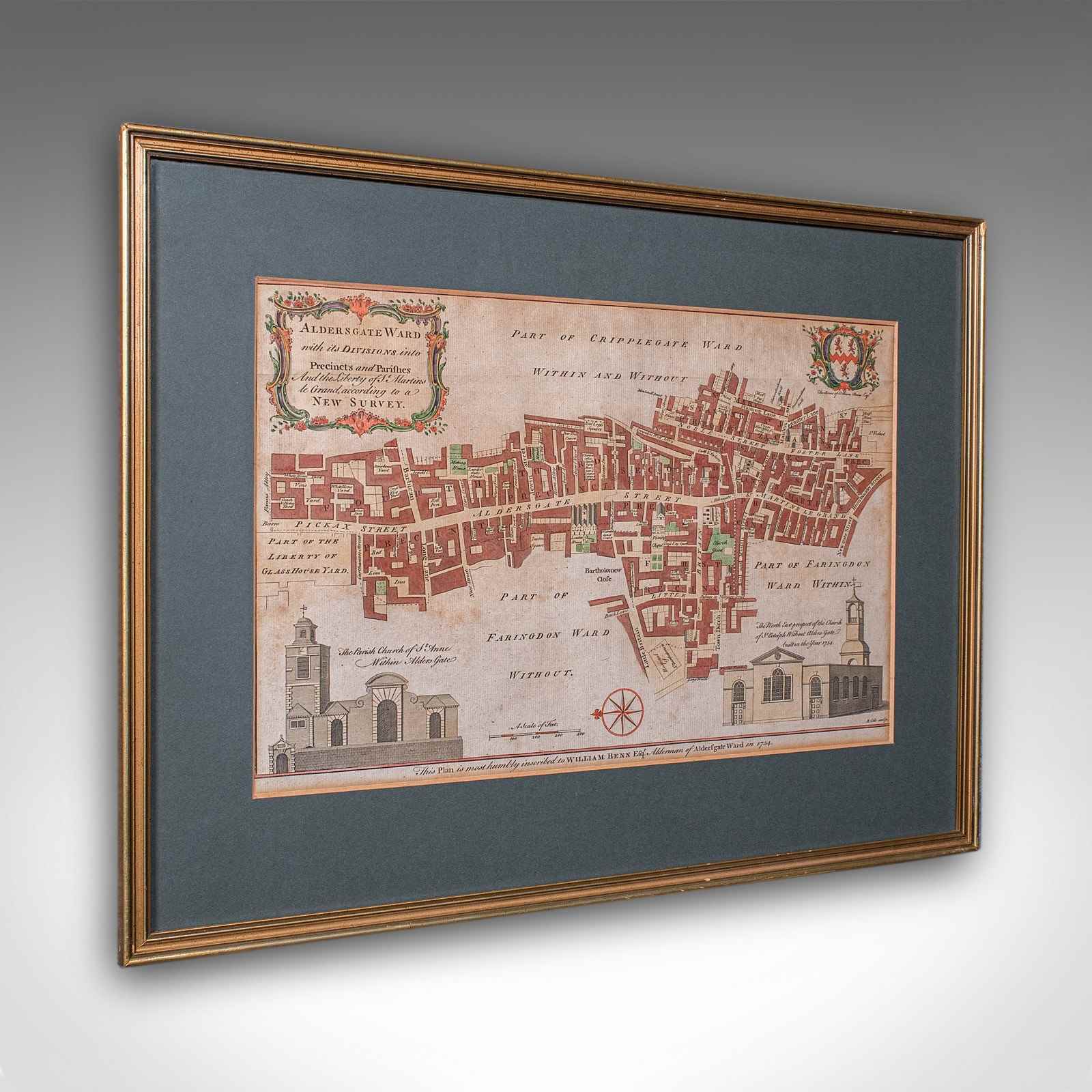
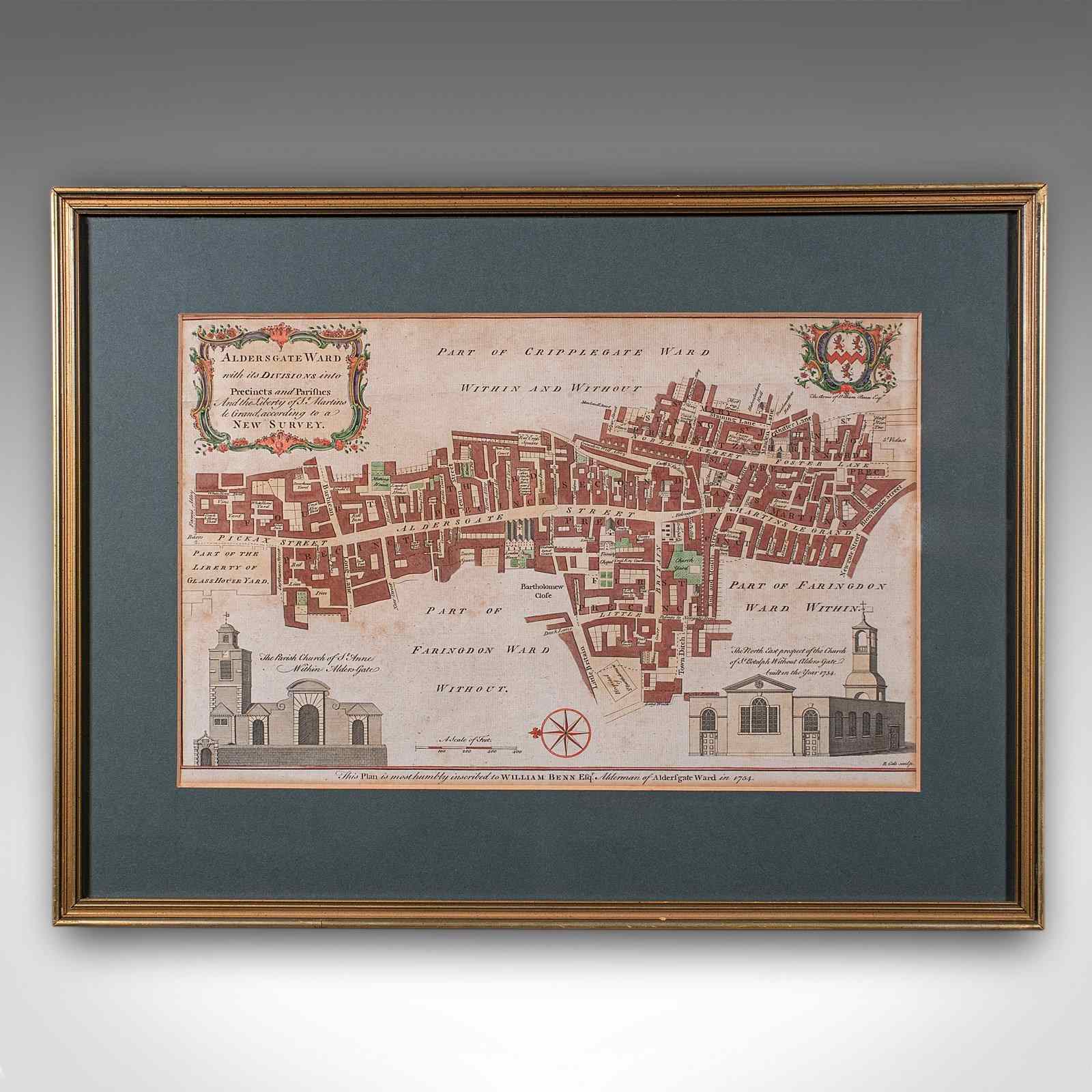
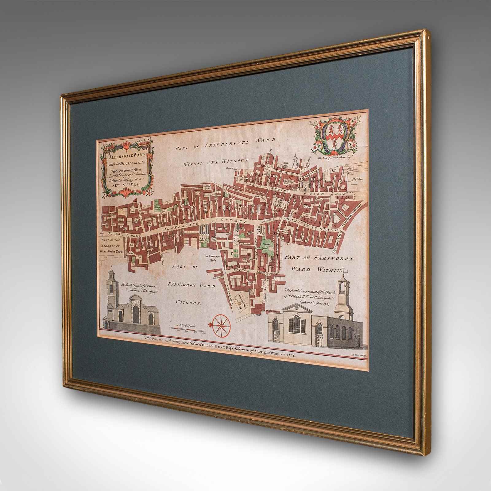
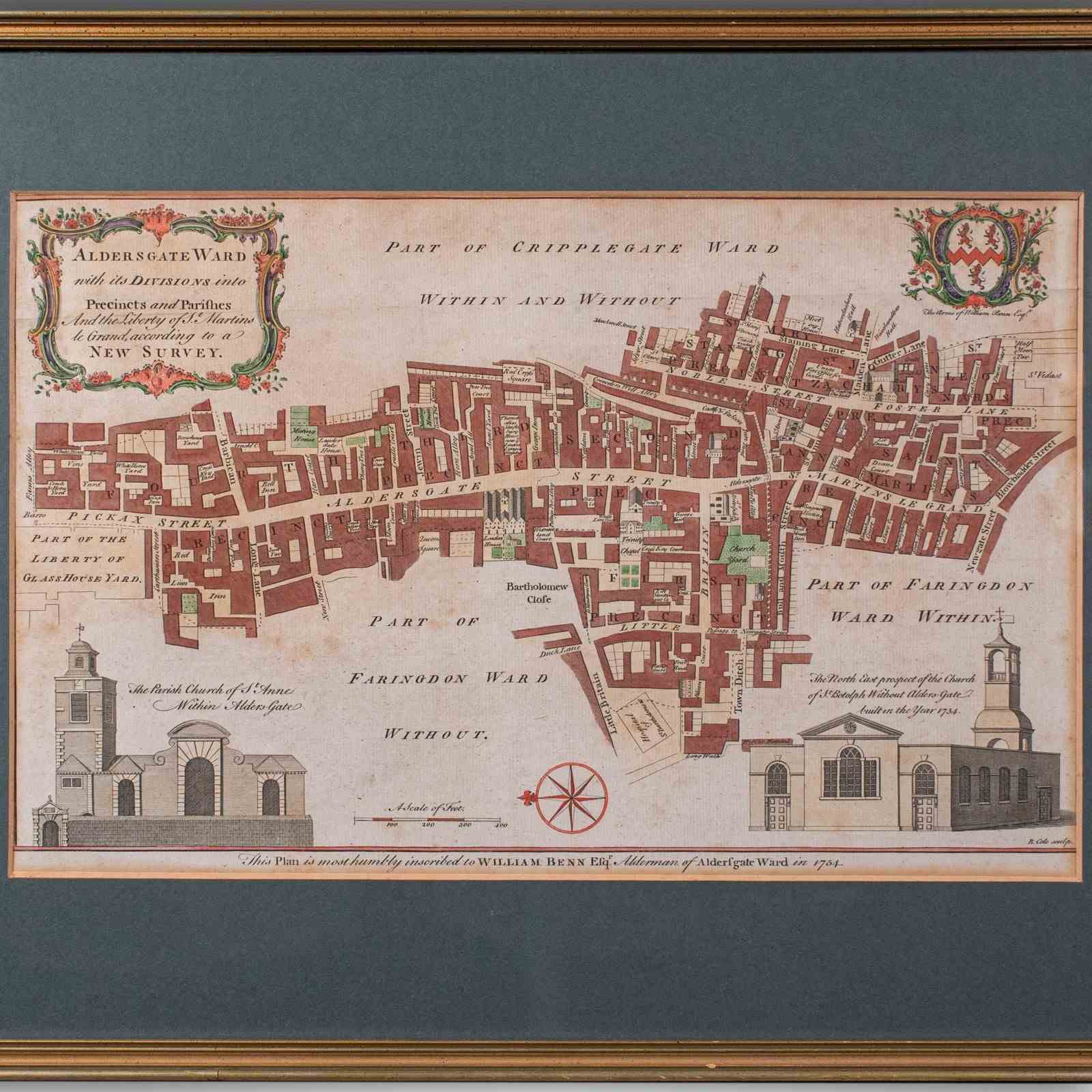
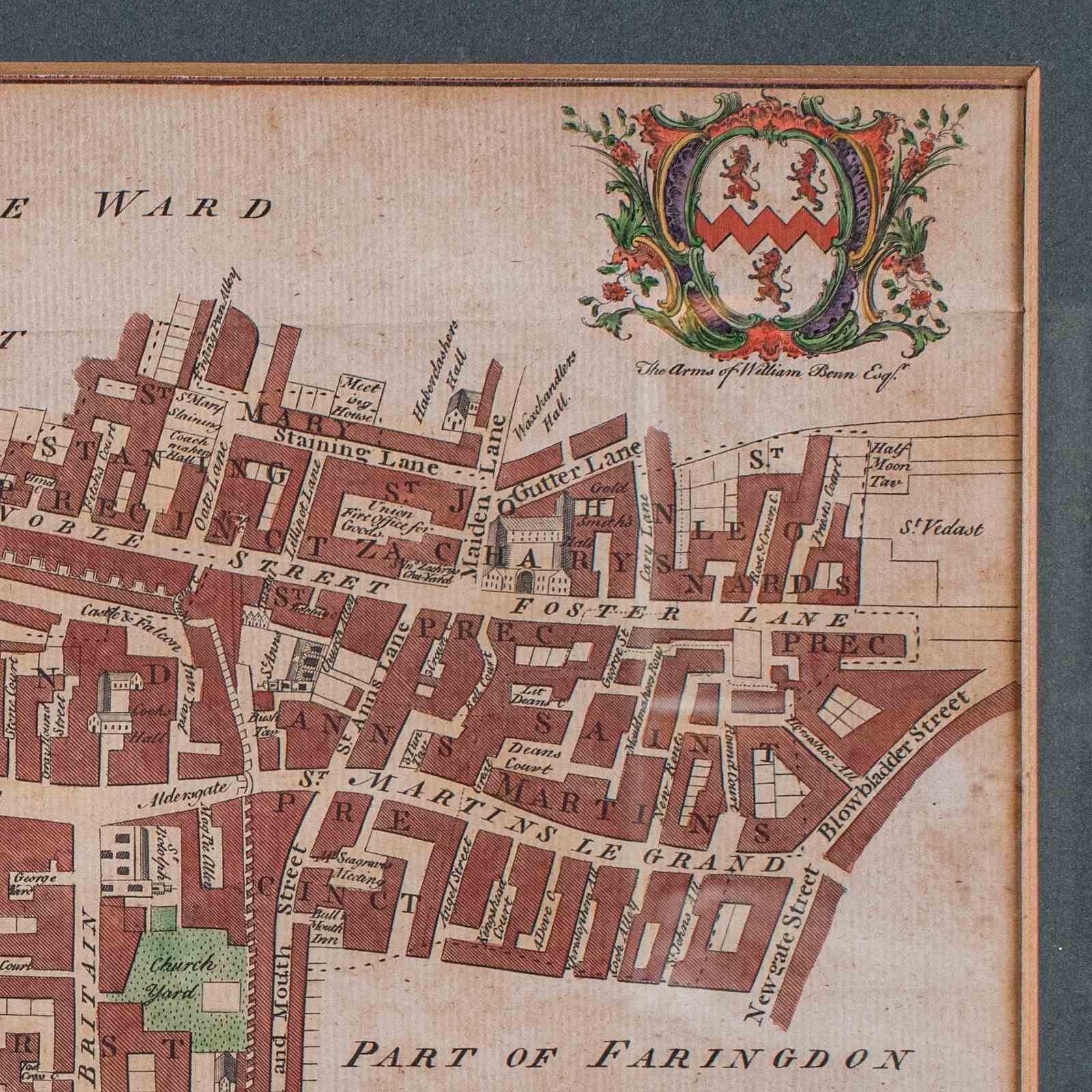
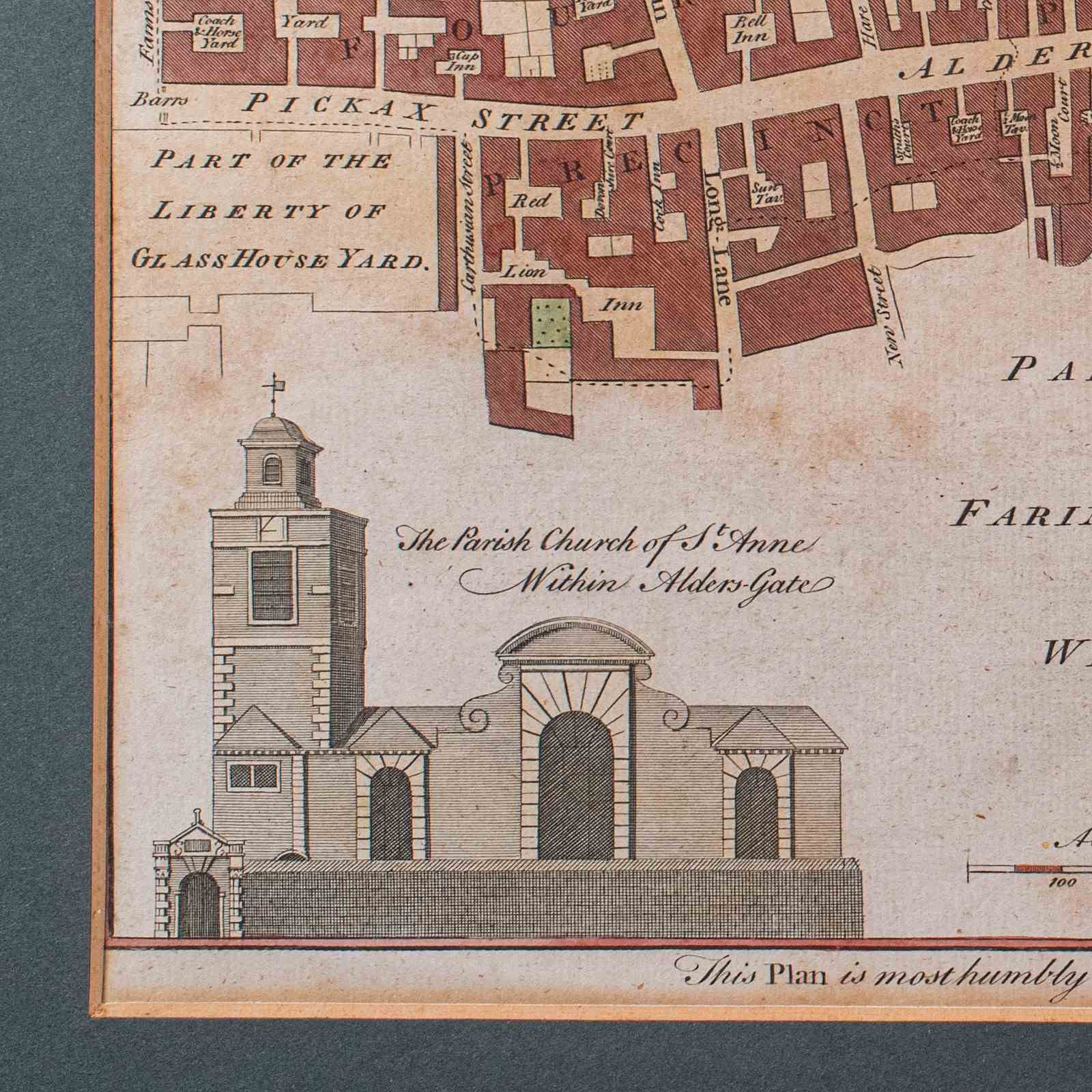
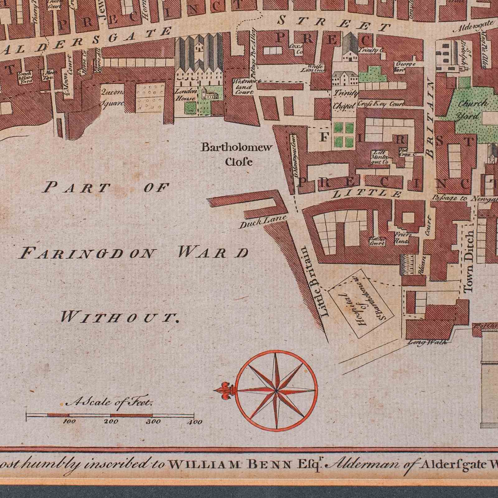
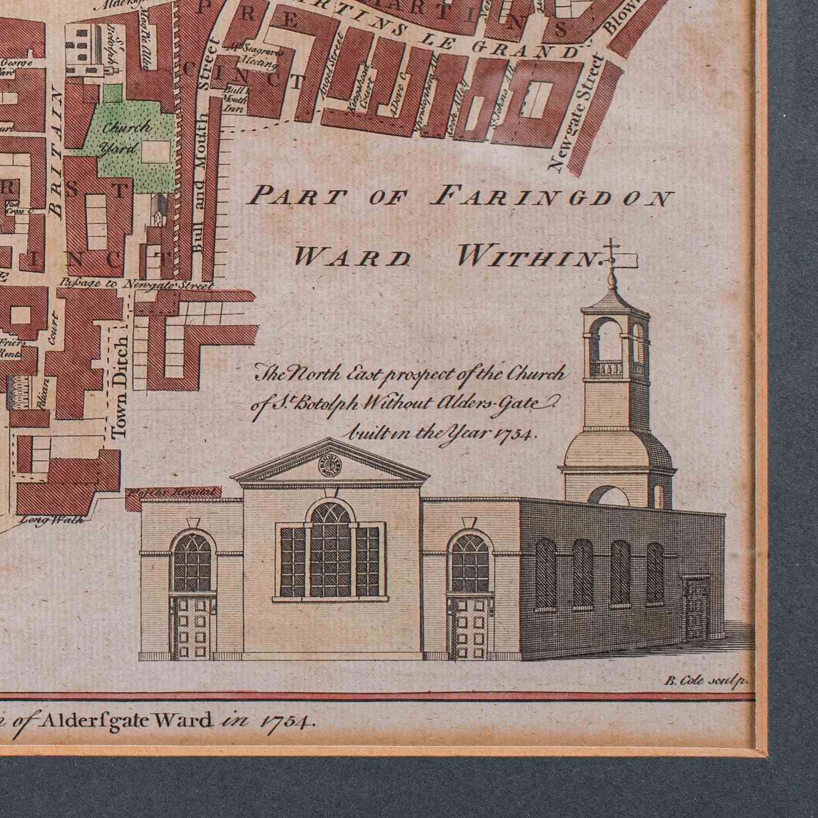
This is an antique London street map. An English, framed and hand-coloured map showing the ward of Aldersgate, dating to the Georgian period and later, circa 1754.
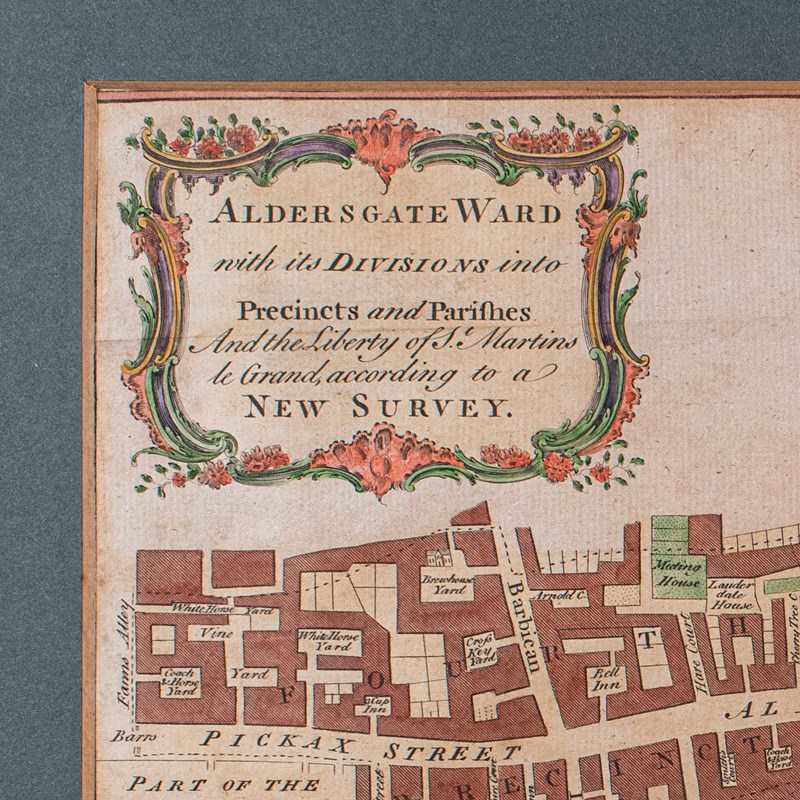
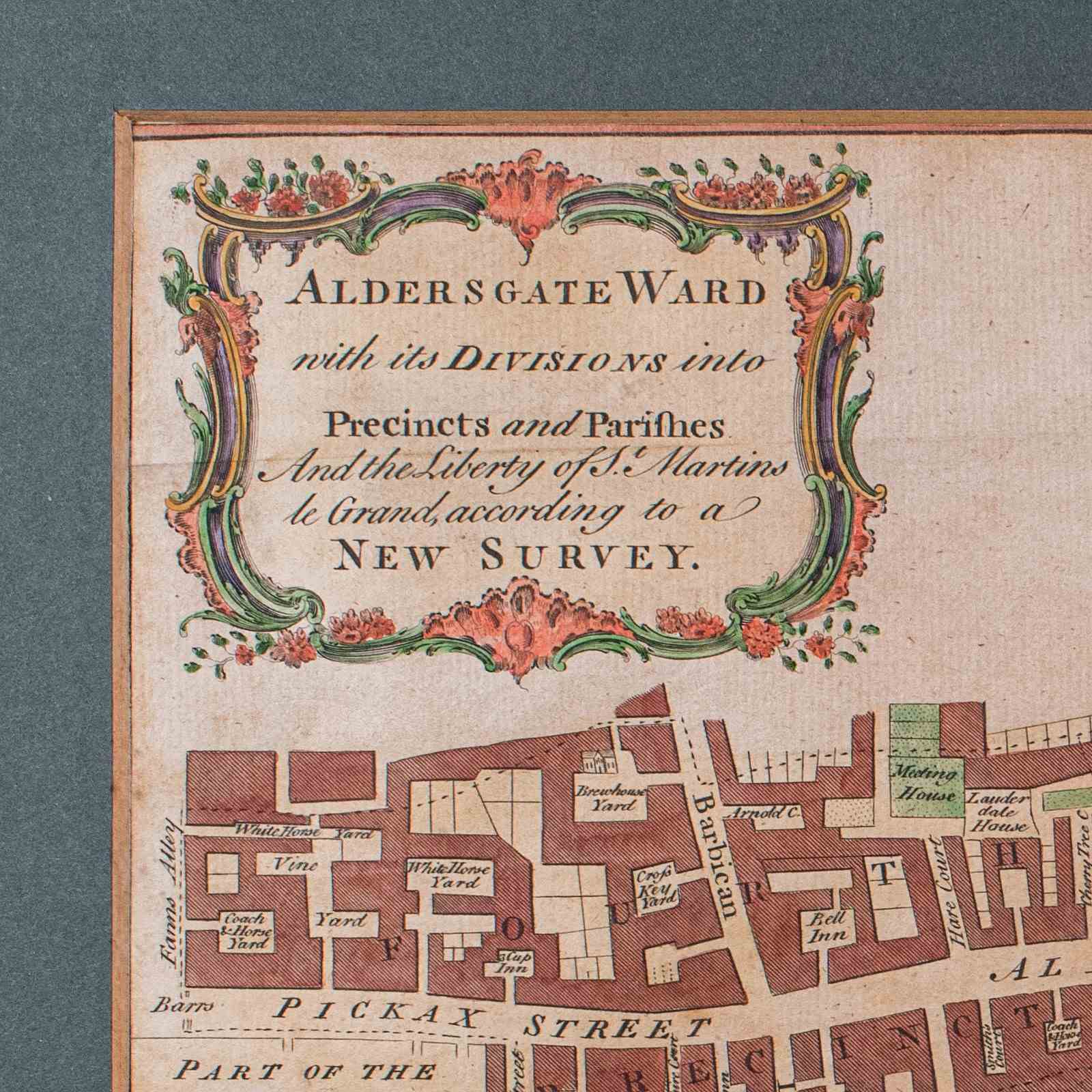
Full title: Aldersgate Ward with its Divisions into Precincts and Parishes and the Liberty of St Martins le Grand, according to a New Survey.
Delightful London interest, as it stood when surveyed in the mid 18th century
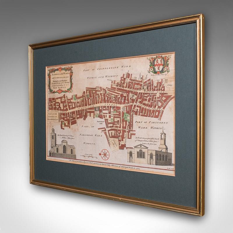
Presented behind clear bright glass and mounted within a tasteful deep green card border
Displays a desirable aged patina, with a gilt-finished later frame
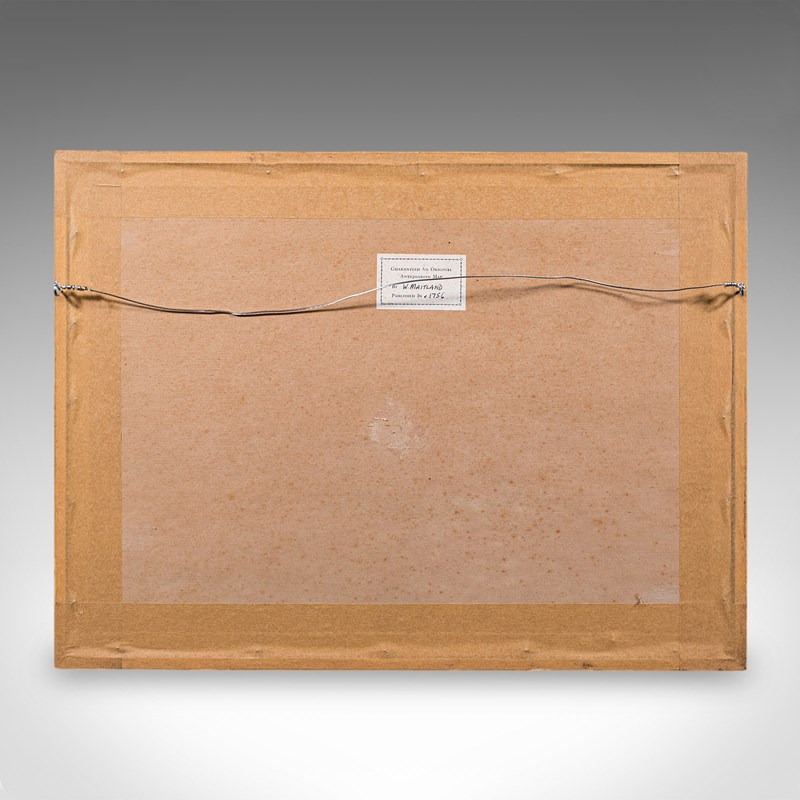
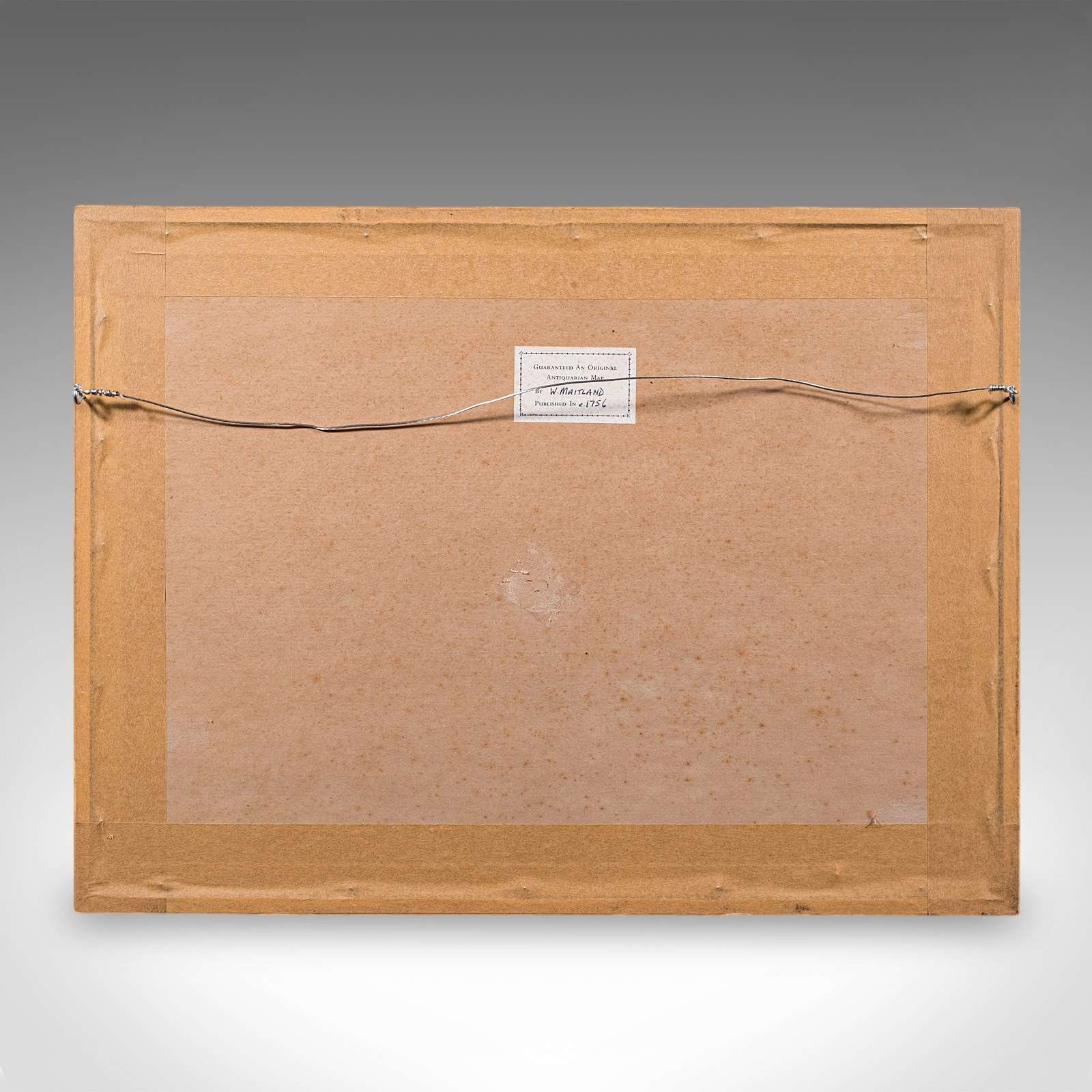
Dressed to the rear with mounting wire for ease of hanging
Title given within a decorative cartouche to the upper part of the map
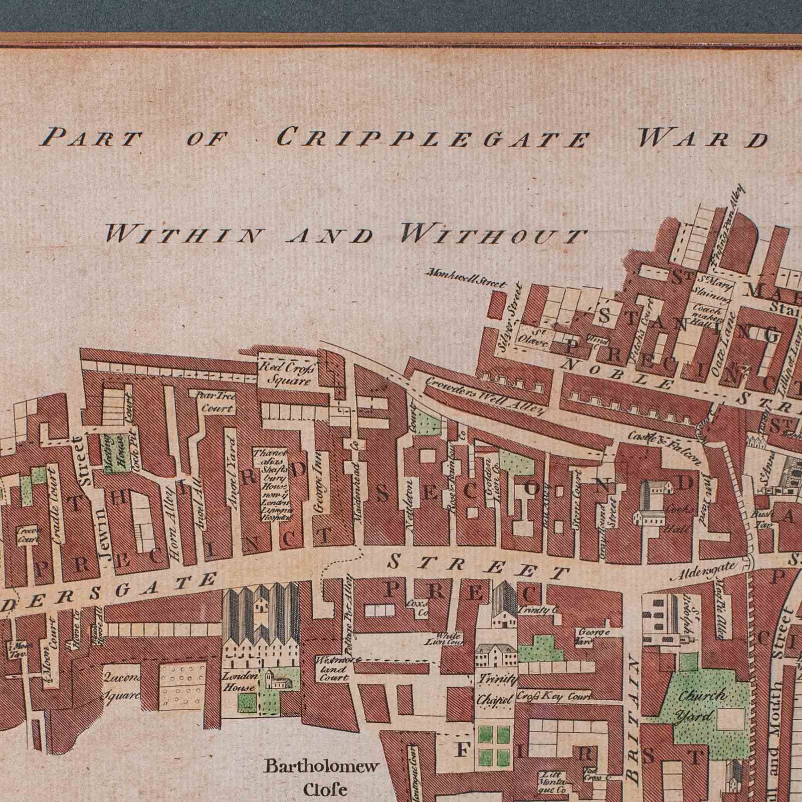
Hand coloured for added visual interest and legibility
Heraldic interest with the family coat of arms for the cartographer William Benn Esquire
Encompassing Aldersgate Street, Barbican and Trinity Chapel
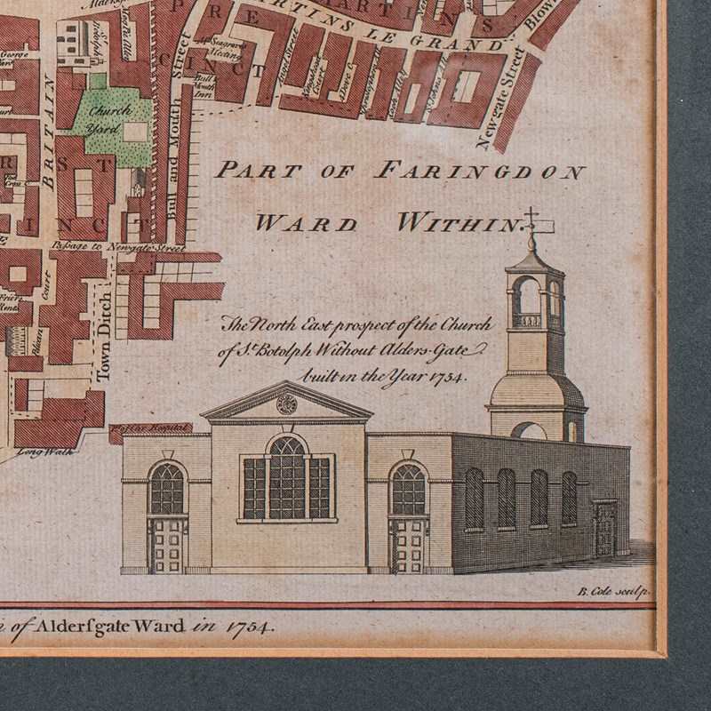
Fine architectural excerpts for the Churches of St Anne and St Botolph respectively
Named and dated by William Benn in the year 1754
This is a charming 18th century London street map, with appealing lithography detail and tasteful presentation. Delivered ready to display.
Dimensions:
Max Width: 50cm (19.75'')
Max Depth: 1cm (.5'')
Max Height: 37.5cm (14.75'')
Map Width: 37.5cm (14.75'')
Map Height: 24cm (9.5'')
Item Info
Seller
Seller Location
Hele, Devon
Item Dimensions
H: 37.5cm W: 50cm D: 1cm
Period
1750s
Item Location
United Kingdom
Seller Location
Hele, Devon
Item Location
United Kingdom
Seller Contact No
+44 (0)207 1833511
More from LONDON FINE ANTIQUES