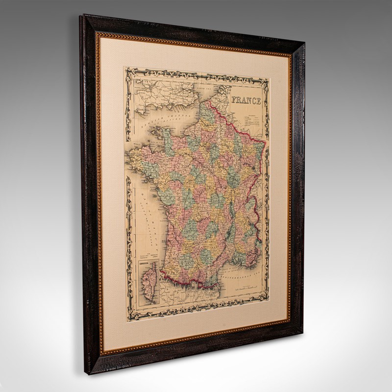


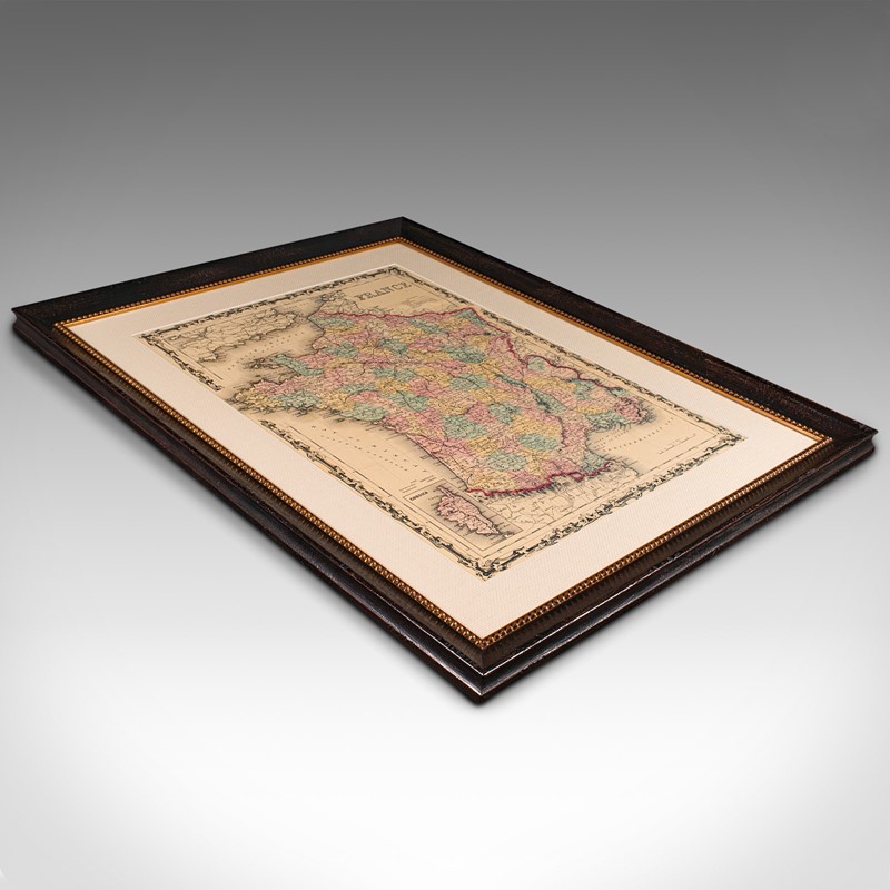
Large Vintage France Map, Continental, Historical Cartography, Late 20th Century
Stock No
18.9839
2024
- £495.00
- €569 Euro
- $661 US Dollar
Questions about this item?
Like this item?
Item Description
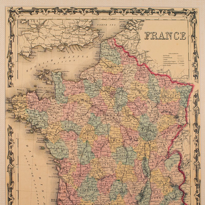
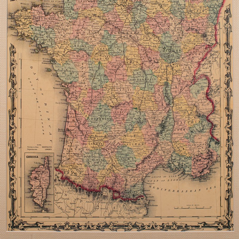
This is a large vintage map of France. A Continental, framed example of historical cartography, dating to the late 20th century, circa 1970.
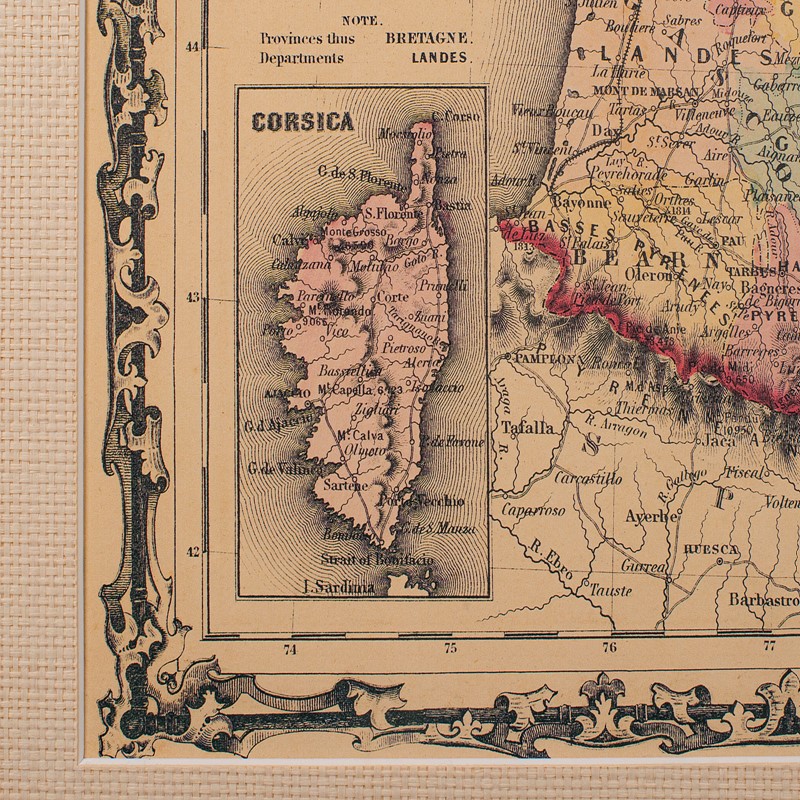
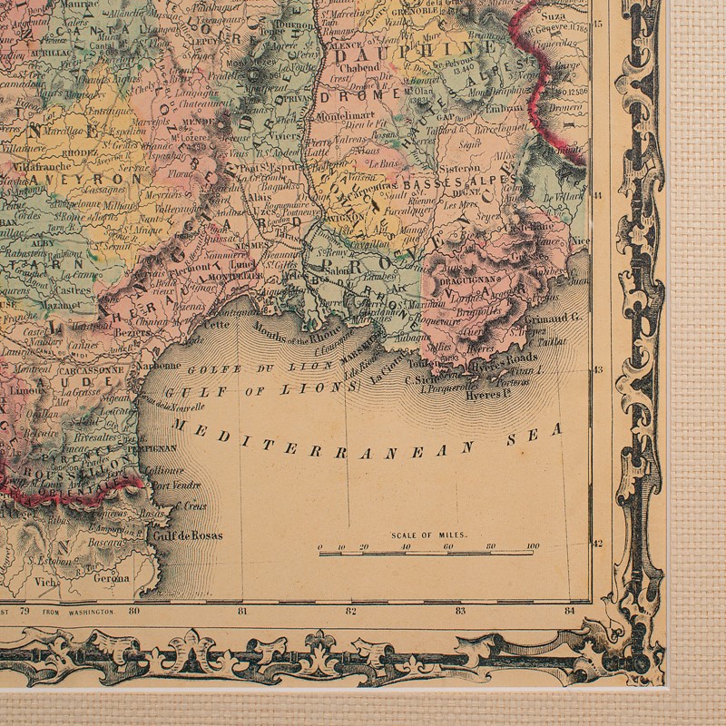
Fascinating map of France and the island of Corsica
Displays a desirable aged patina throughout
Ebonised frame with textured border sets off the map nicely
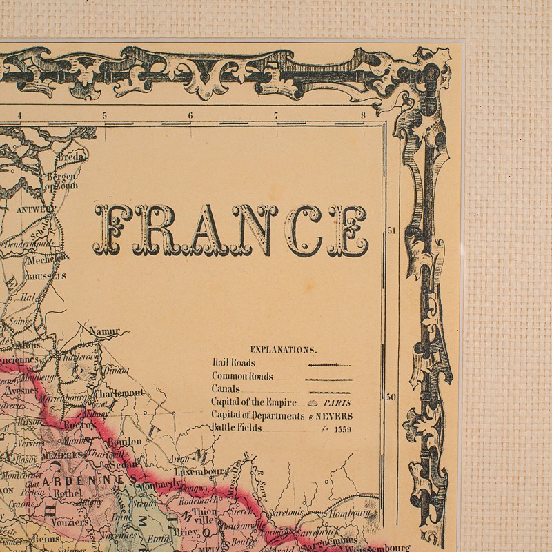
In full colour, France is annotated with a raft of detail
Key represents the capital, region capitals, rails, roads and historic battlegrounds
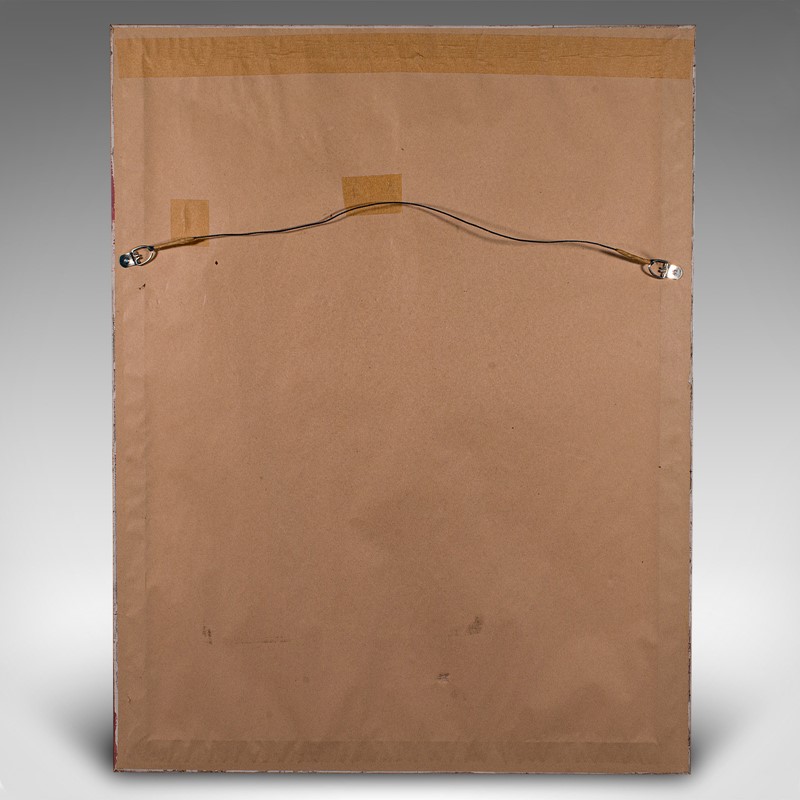
Dressed to the rear with mounting wire for ease of hanging
This is a charming large vintage map of France, with a great level of fascinating detail. Delivered ready to display.
Dimensions:
Max Width: 72cm (28.25'')
Max Depth: 3.5cm (1.5'')
Max Height: 93cm (36.5'')
Map Width: 48cm (19'')
Map Height: 69.5cm (27.25'')
We offer a 100% satisfaction guarantee with all of our antiques.
We ship worldwide with professional packing and attractive rates – please send us your post / zip code and country for a quote.
Free delivery to most of the U.K. – Please send us your post code for confirmation.
Deliveries taking on average ten working days to arrive at your door from receipt of payment.
Please contact us if you require any further information - we are here to help.
Our Ref: 18.9839
Item Info
Seller
Seller Location
Hele, Devon
Item Dimensions
H: 93cm W: 72cm D: 3.5cm
Period
c.1970
Item Location
United Kingdom
Seller Location
Hele, Devon
Item Location
United Kingdom
Seller Contact No
+44 (0)207 1833511
More from LONDON FINE ANTIQUES