Vintage 18Th Century Street Map, London, Lincoln's Inn, The Strand, Cartography
Stock No
26119
2024
- £475.00
- €561 Euro
- $628 US Dollar
Questions about this item?
Like this item?
Item Description
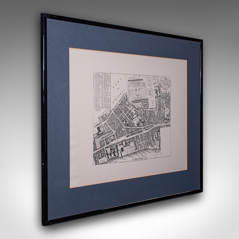
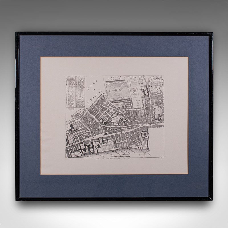
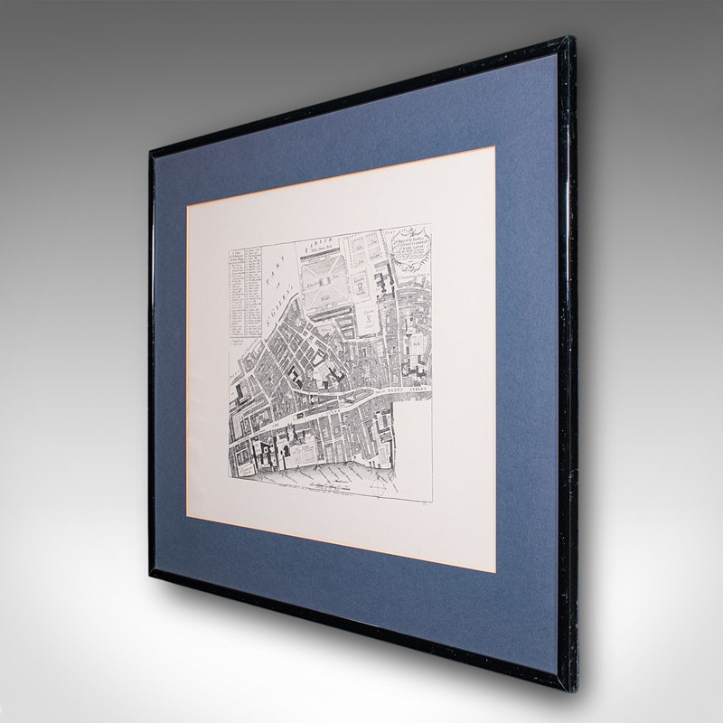
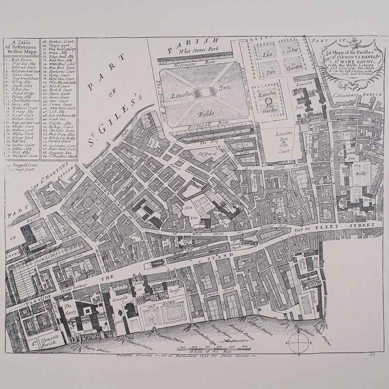
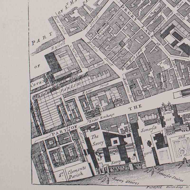
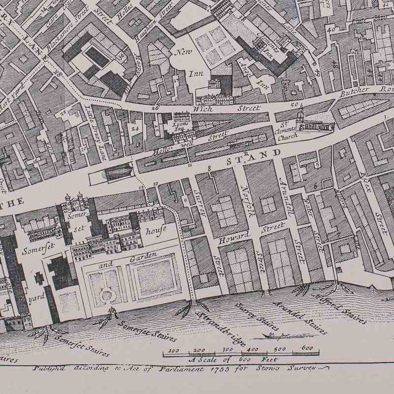
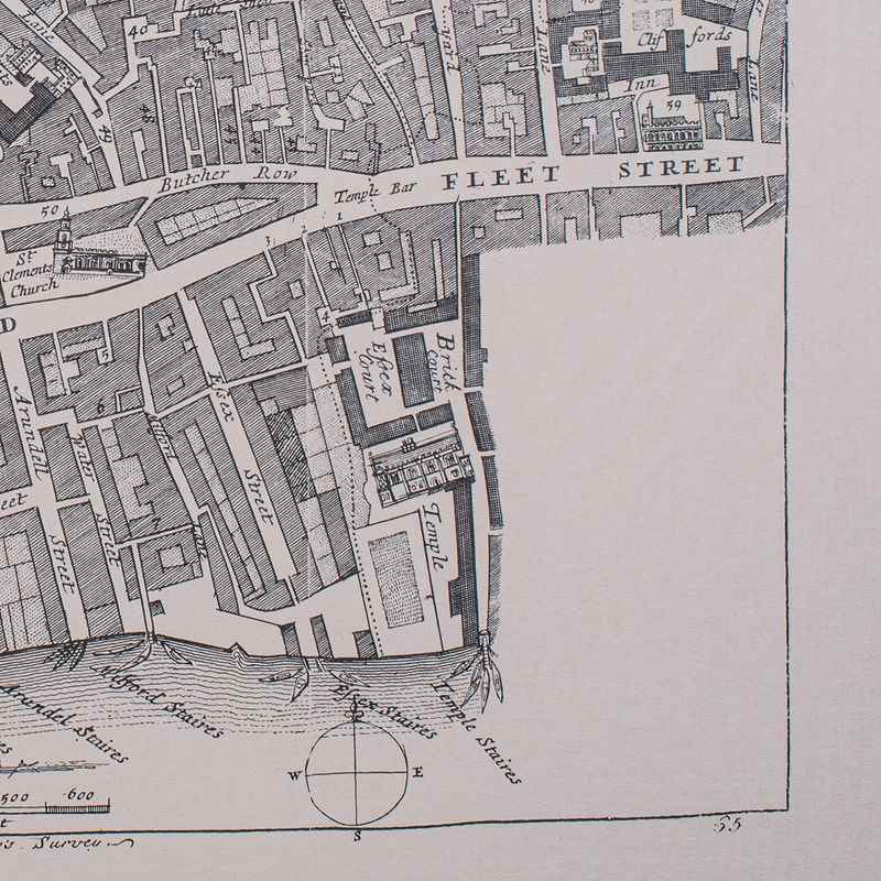
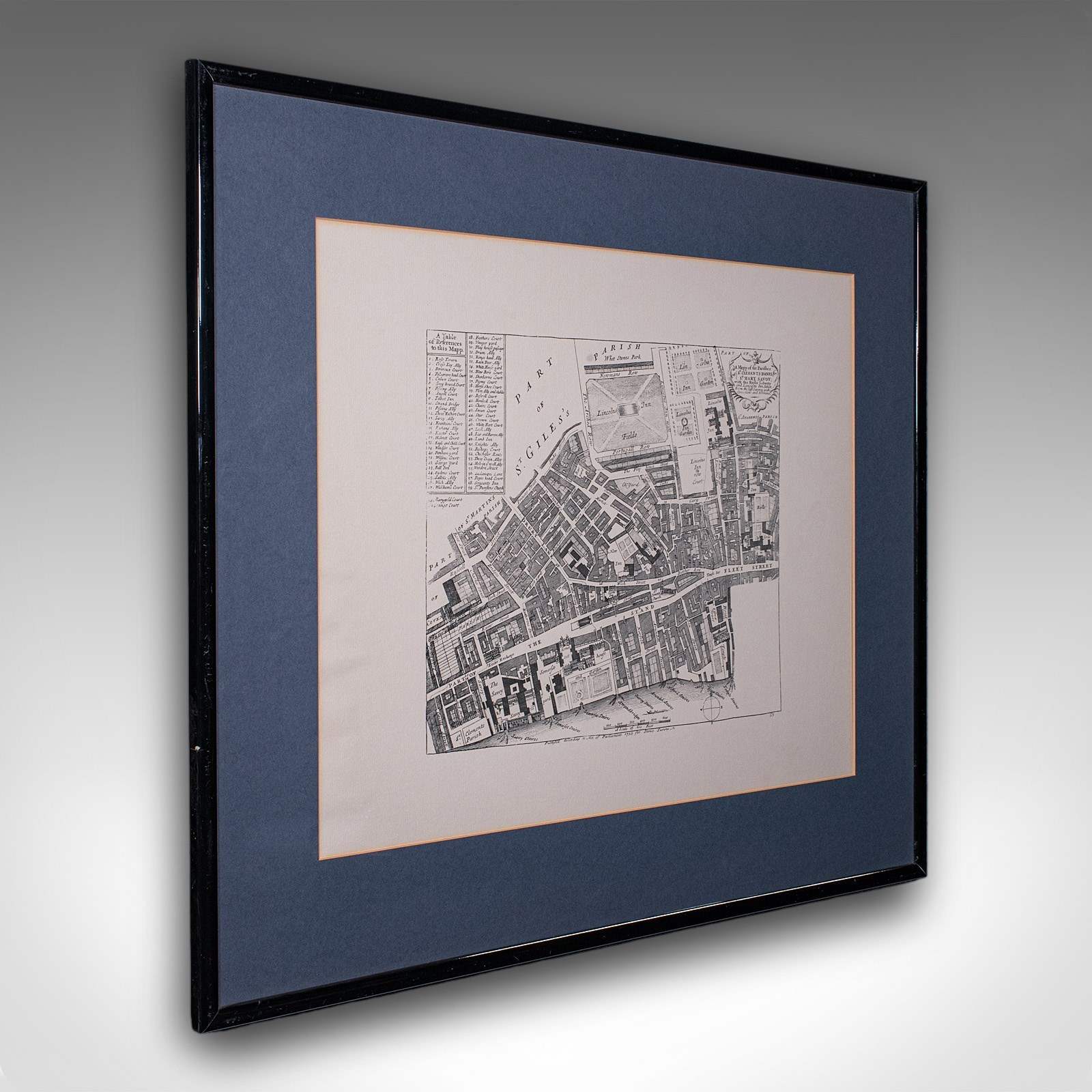
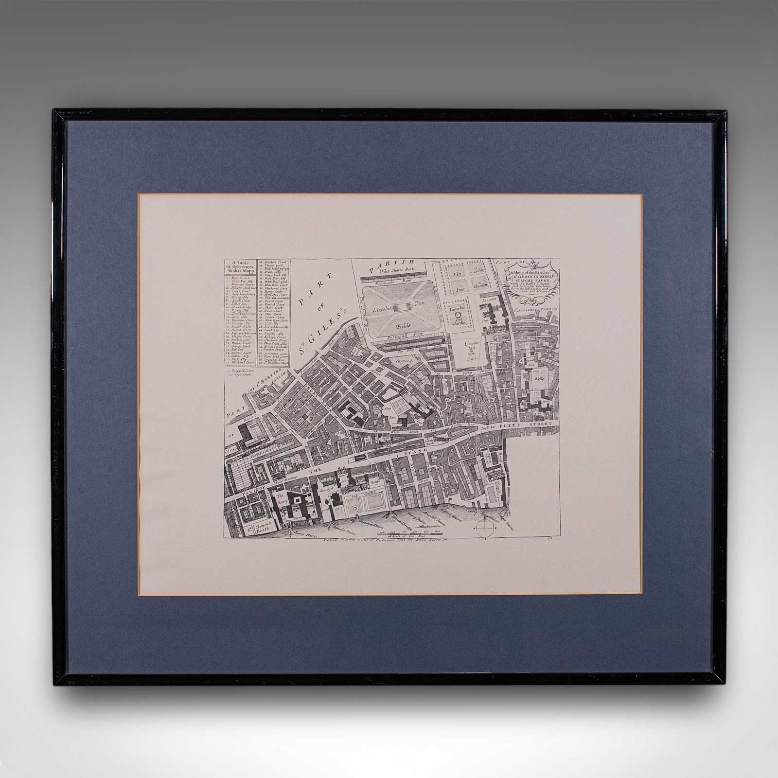
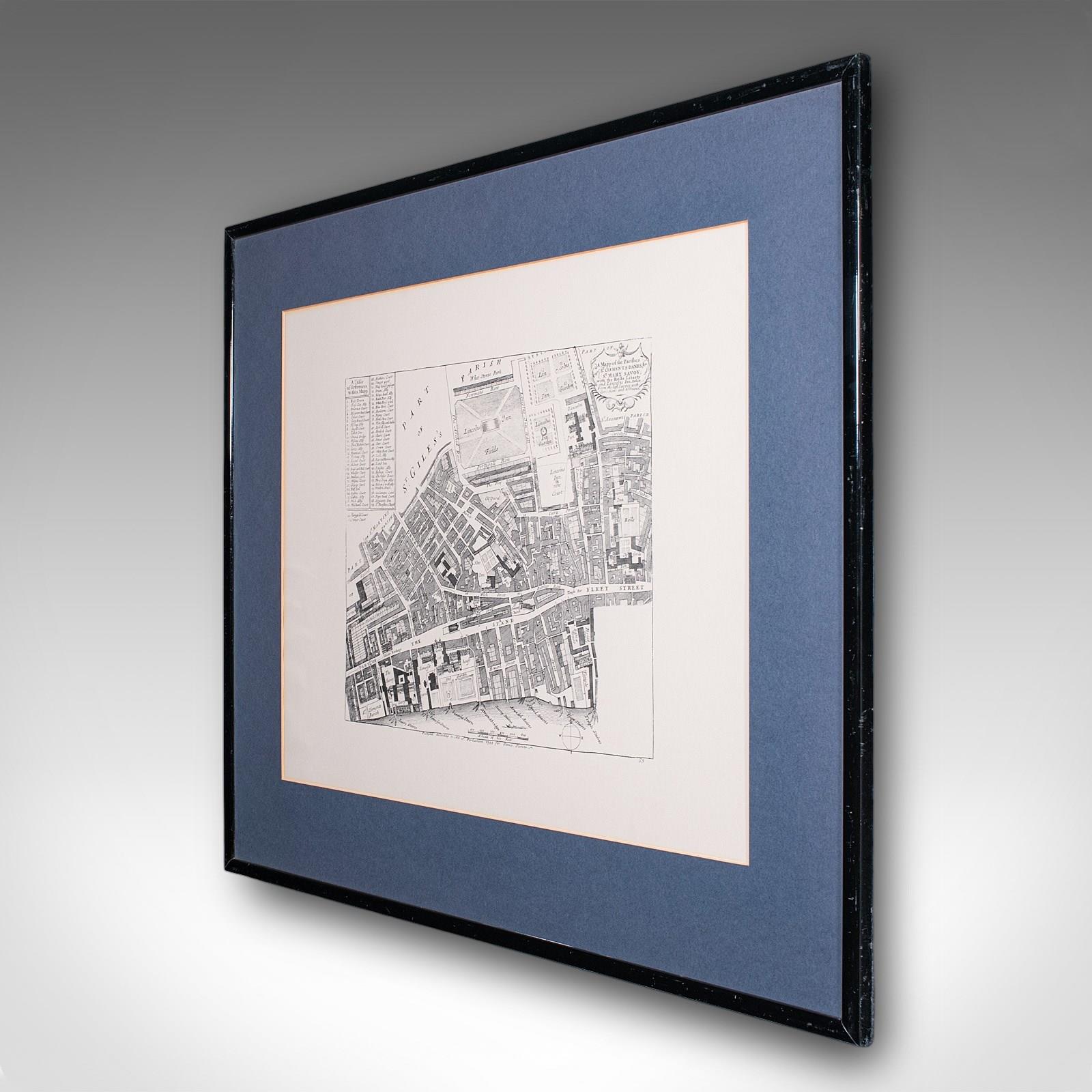
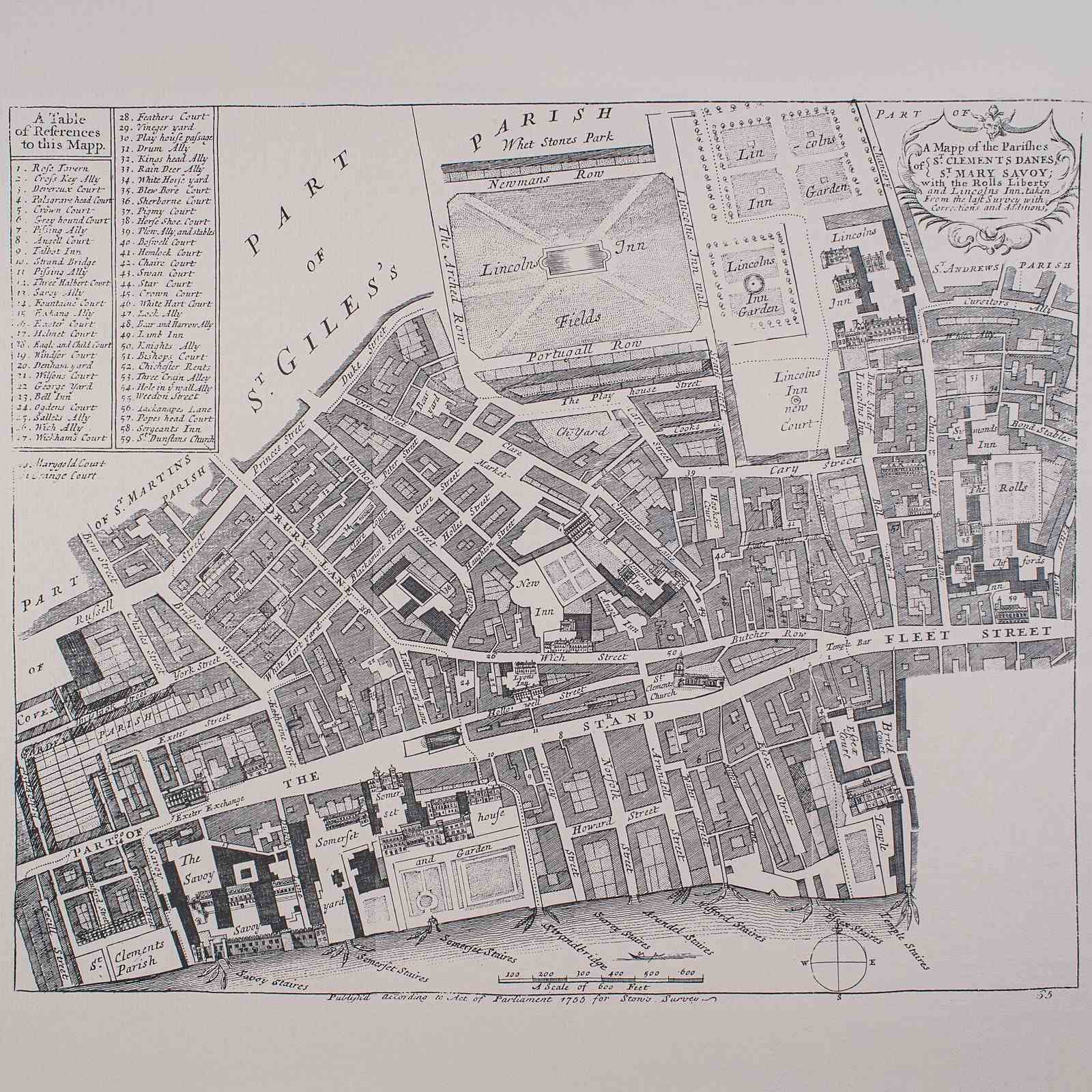
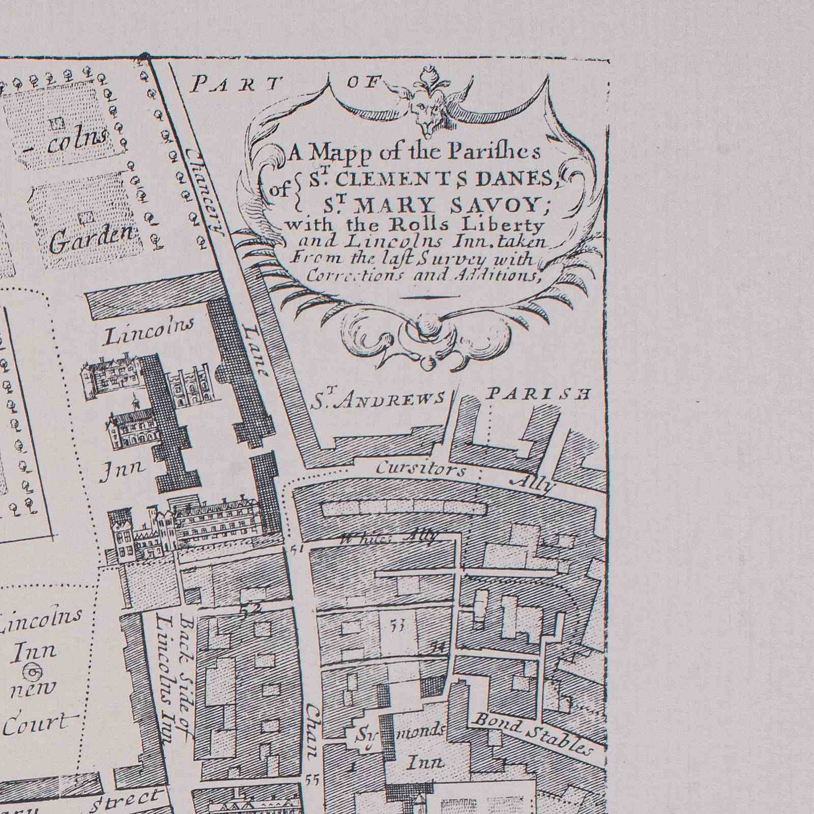
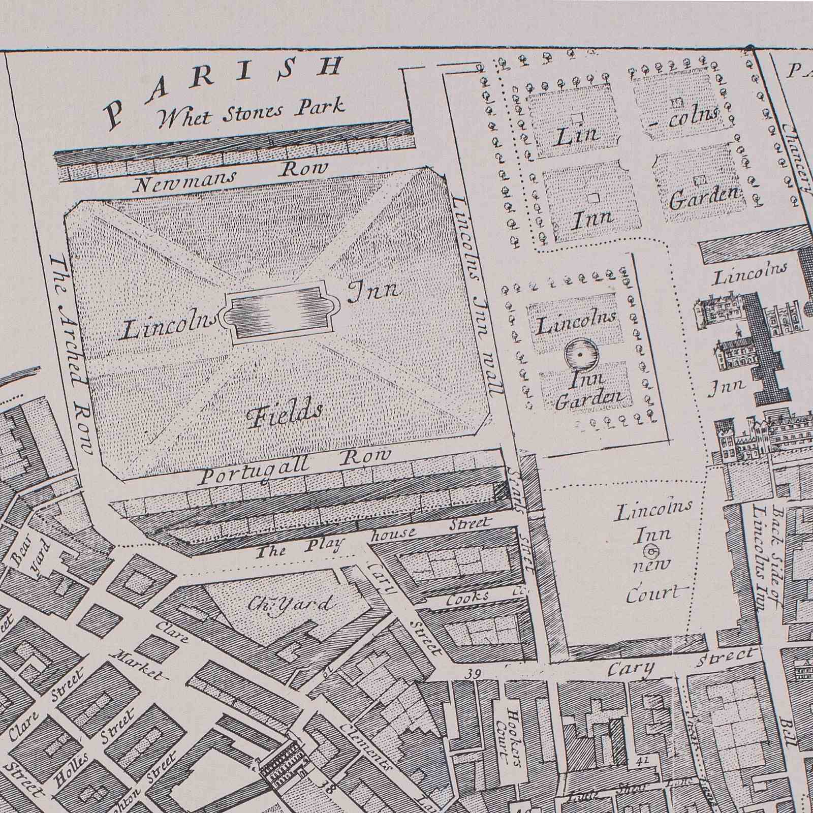
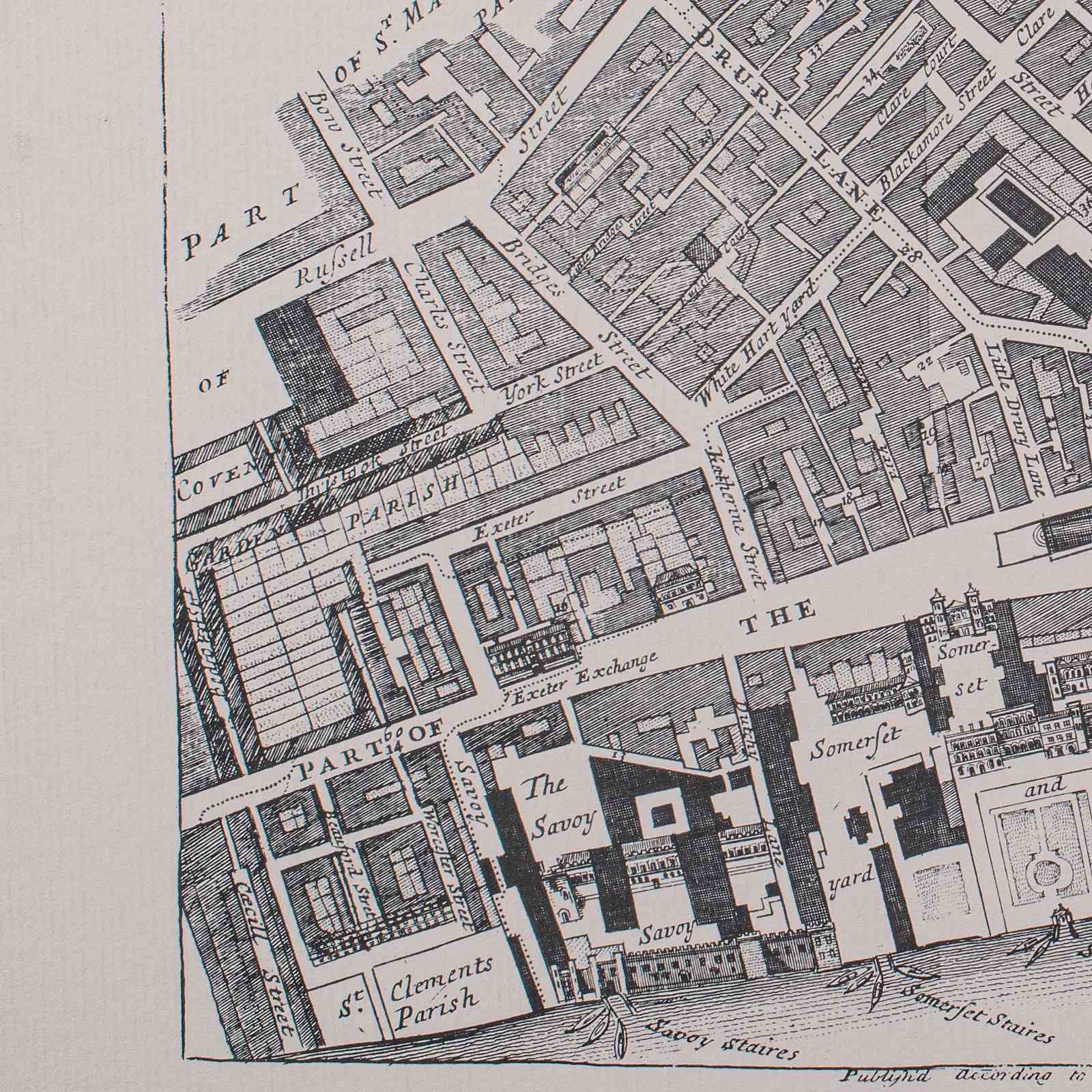
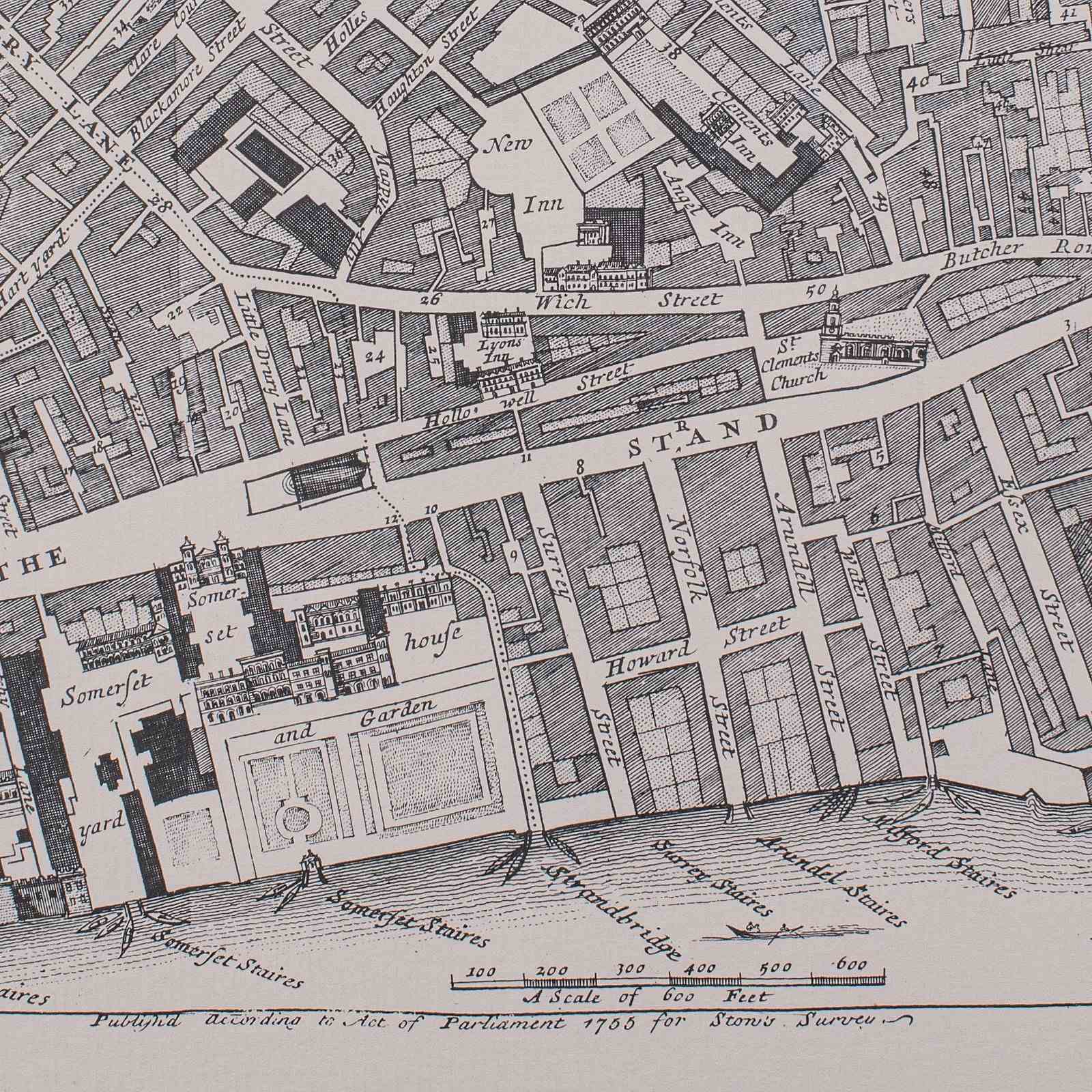
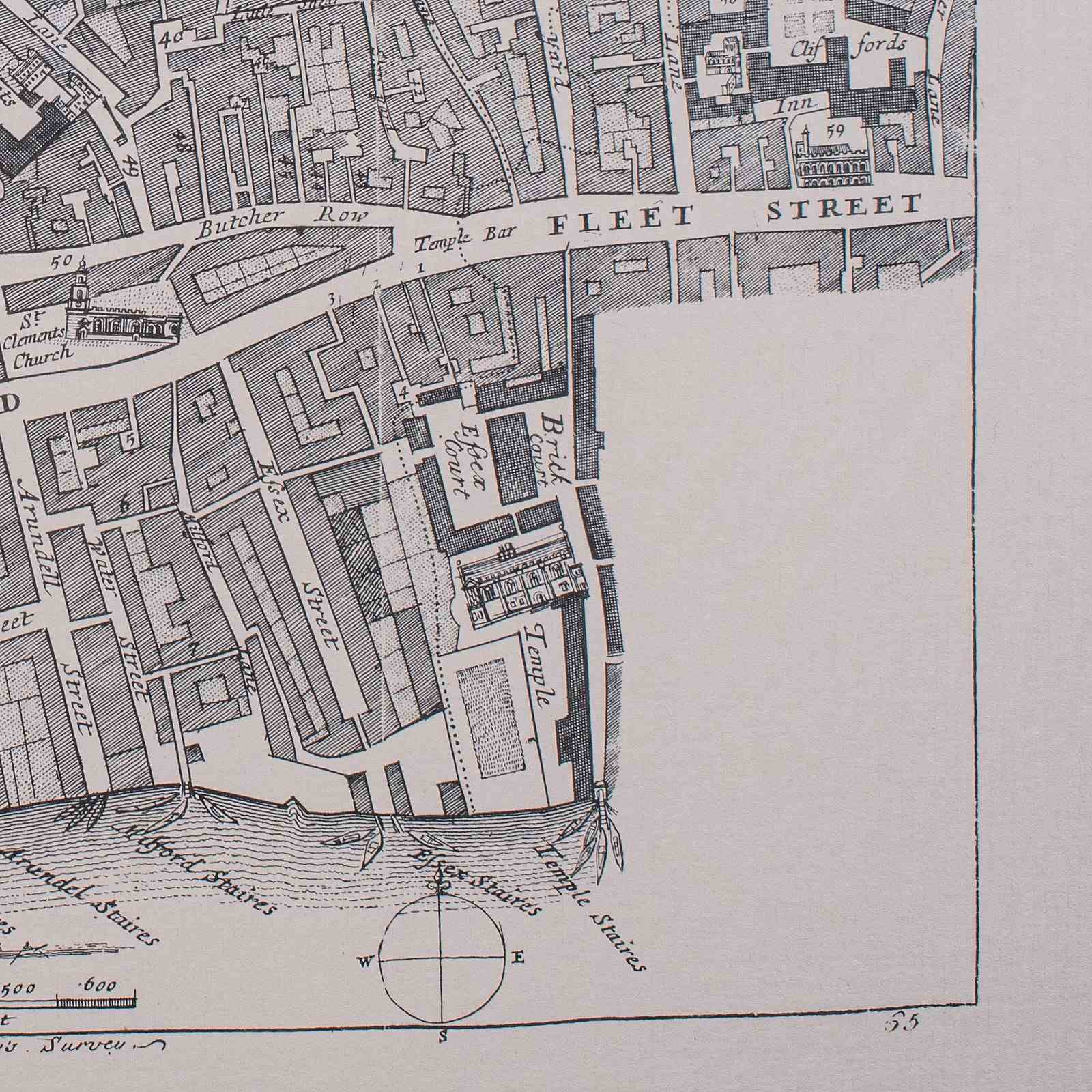
This is a vintage 18th century street map of London. An English, framed reproduction showing the parishes of St Clement's Danes and St Mary Savoy, dating to the late 20th century, circa 1980.
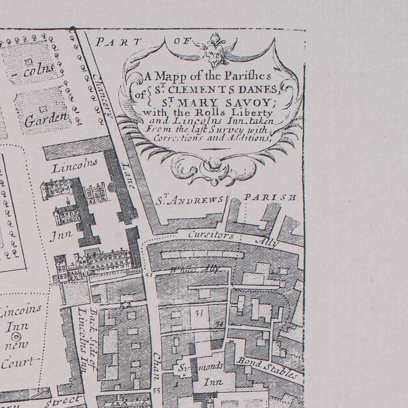
Full title: A Mapp of the Parishes of St. Clements Danes; St. Mary Savoy; with the Rolls Liberty and Lincolns Inn, taken from the survey with corrections and additions.
Fine London interest, as it stood when surveyed in the mid 18th century
Presented behind clear bright glass and mounted within a tasteful blue card border
Displays a desirable aged patina, and in good order
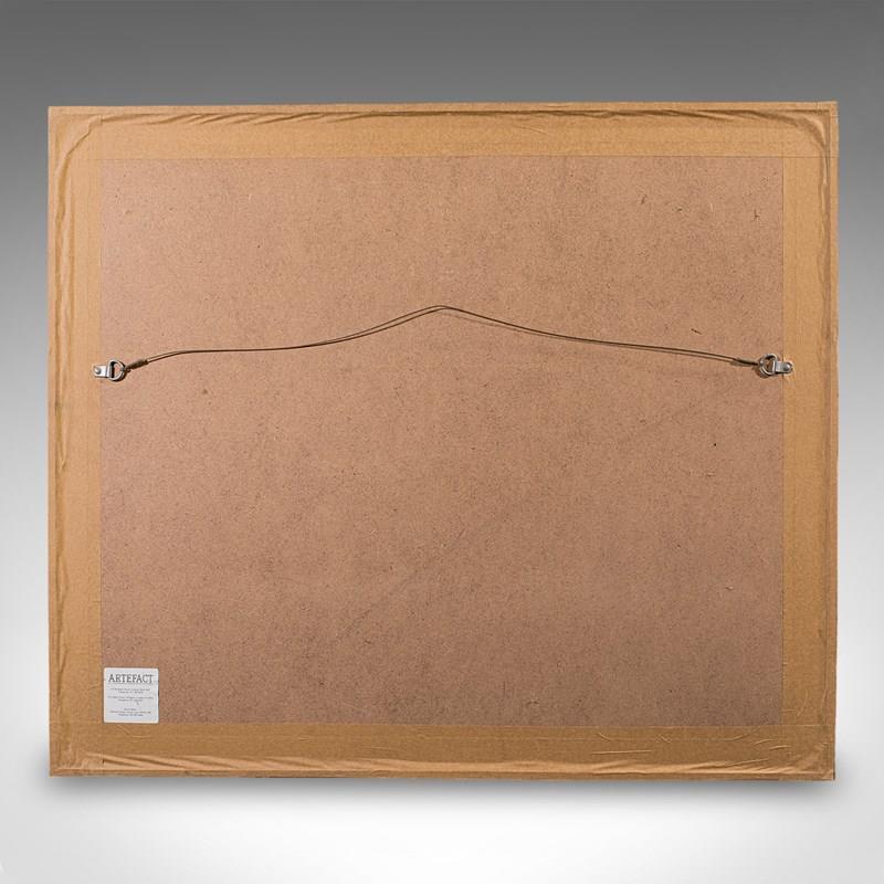
Dressed to the rear with mounting wire for ease of hanging
Title given within a decorative cartouche to the upper corner
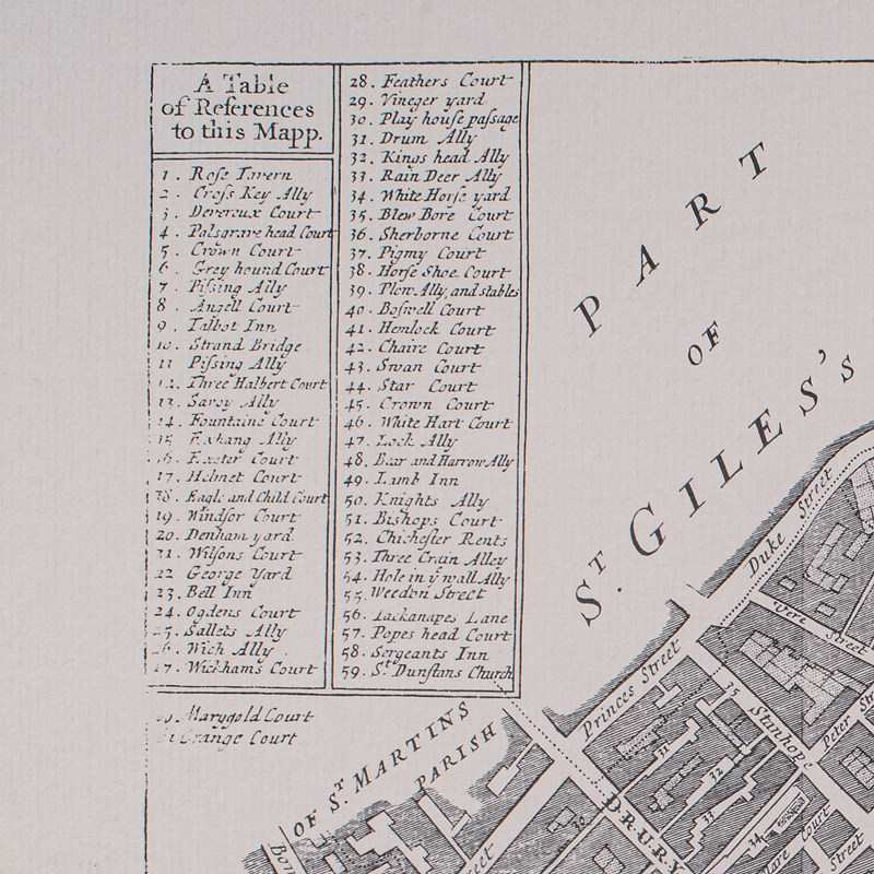
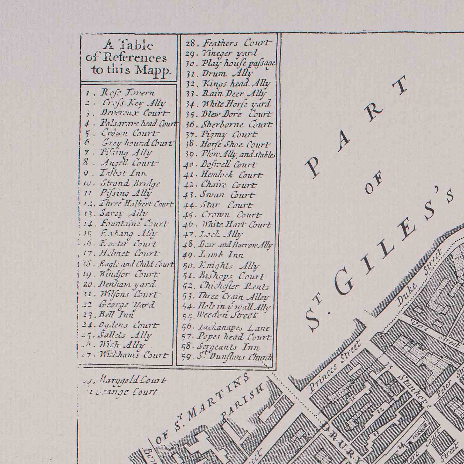
Table of references lists 59 points of interest
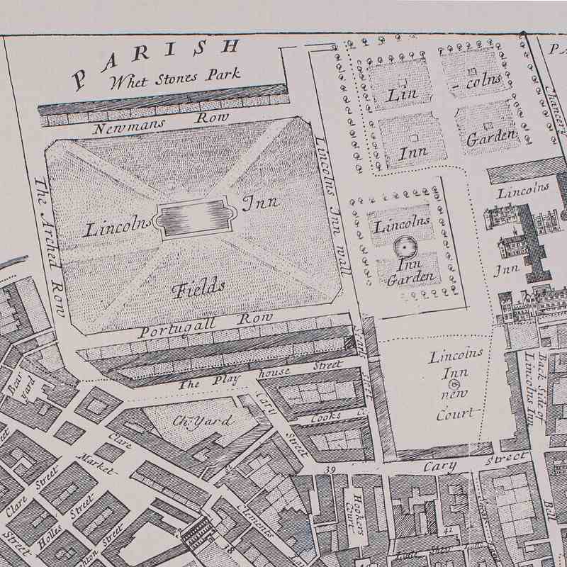
Maps the legal heartland of Lincoln's Inn, one of the four inns of court
Other points of interest being the Savoy hospital and The Strand
Taken from John Strype's 1755 survey of London & Westminster
This is a fascinating vintage reproduction of an 18th century London street map, with appealing lithography detail and tasteful presentation. Delivered ready to display.
Dimensions:
Max Width: 71cm (28'')
Max Depth: 1.5cm (.5'')
Max Height: 61cm (24'')
Map Width: 53cm (20.75'')
Map Height: 42cm (16.5'')
Item Info
Seller
Seller Location
Hele, Devon
Item Dimensions
H: 61cm W: 71cm D: 1.5cm
Period
1980s
Item Location
United Kingdom
Seller Location
Hele, Devon
Item Location
United Kingdom
Seller Contact No
+44 (0)207 1833511
More from LONDON FINE ANTIQUES