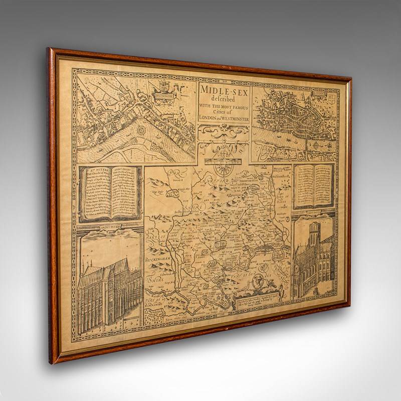
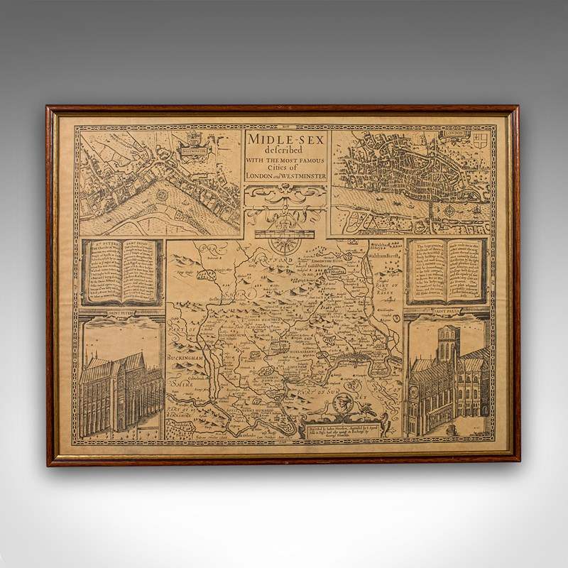


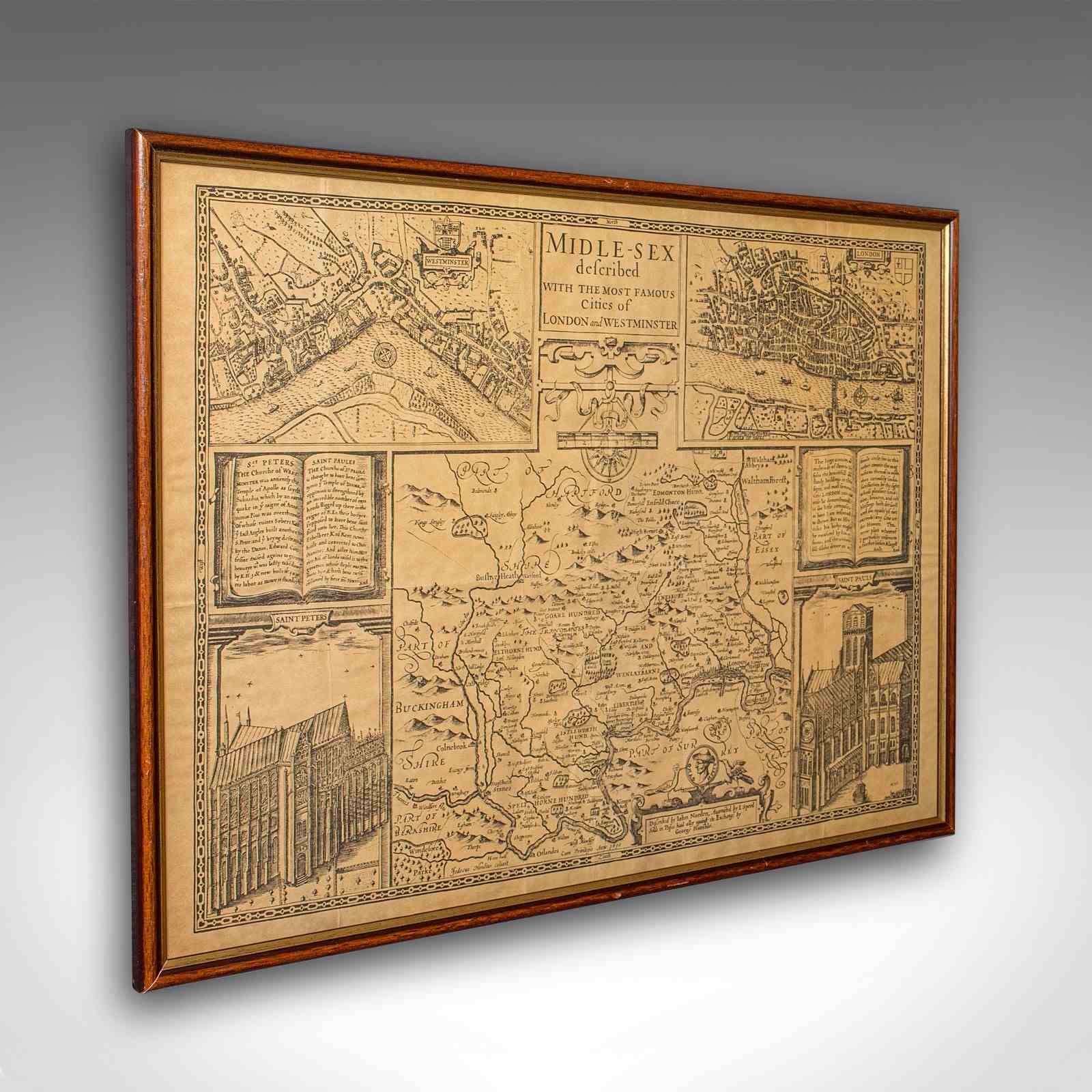
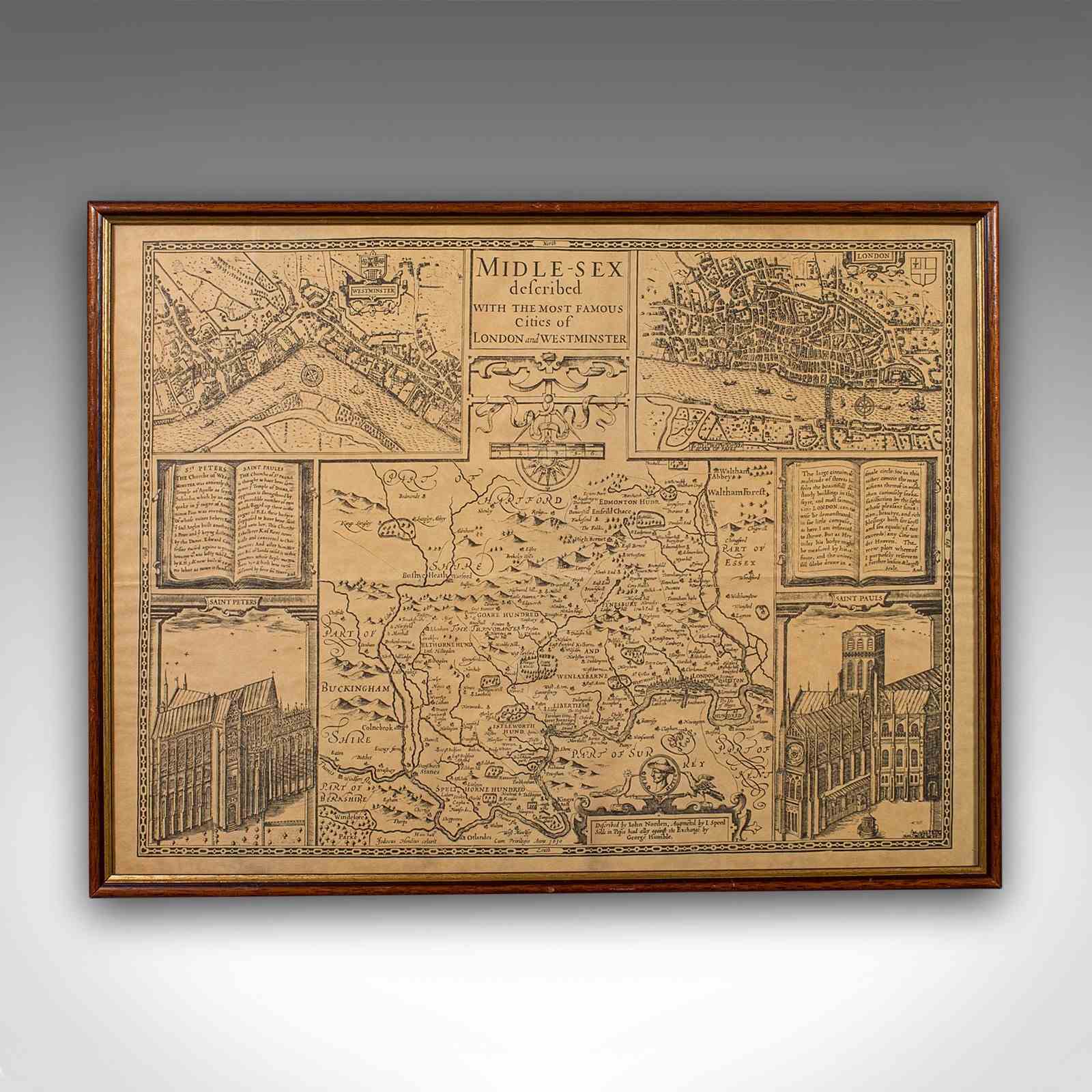


Vintage County Map, Middlesex, English, Framed 16Th Century Print, John Norden
Stock No
25578
2024
- £385.00
- €451 Euro
- $515 US Dollar
Questions about this item?
Like this item?
Item Description
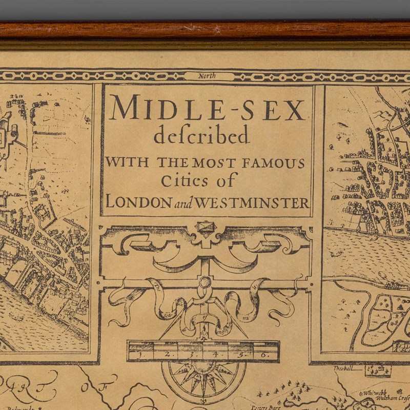
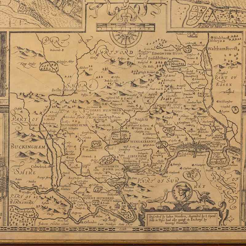
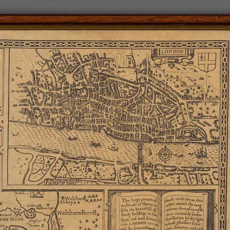
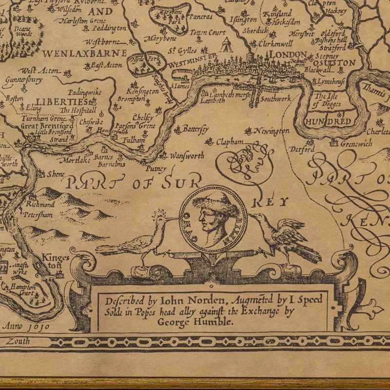
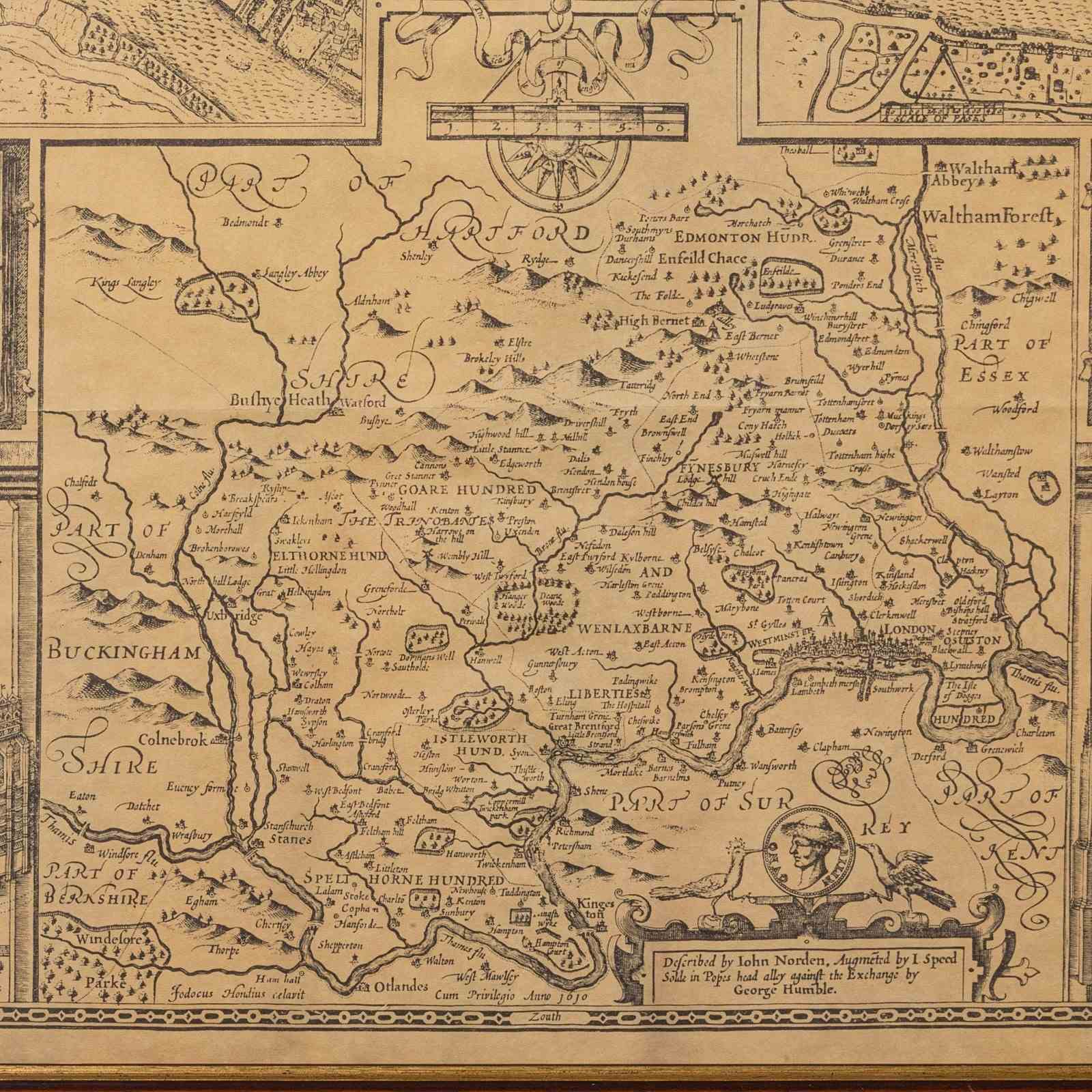
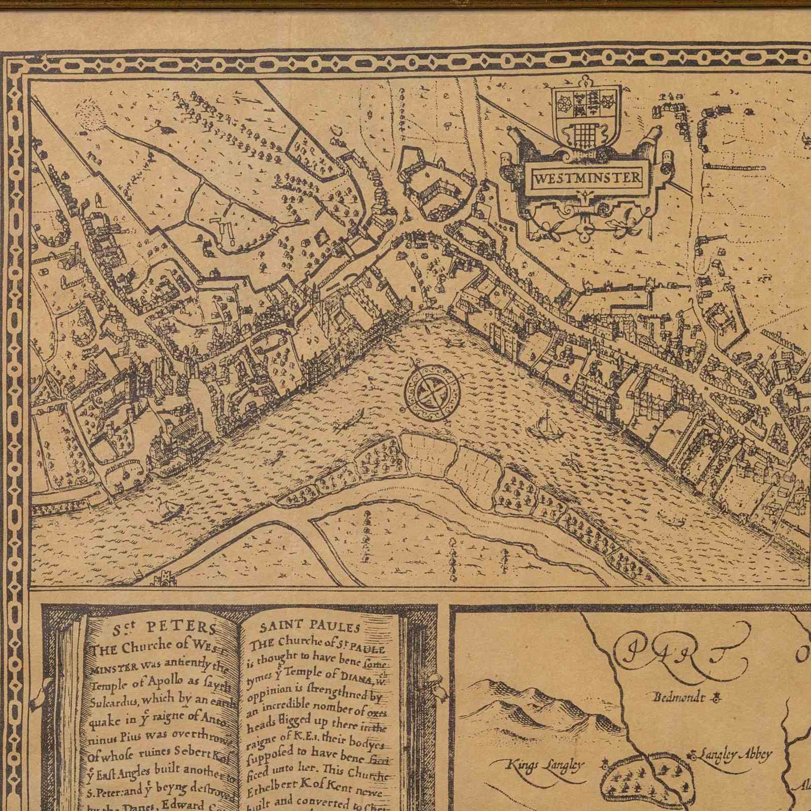
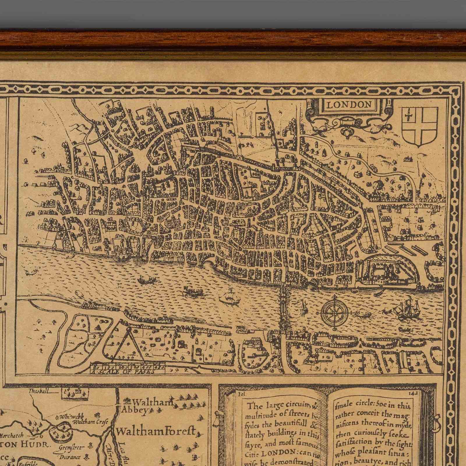
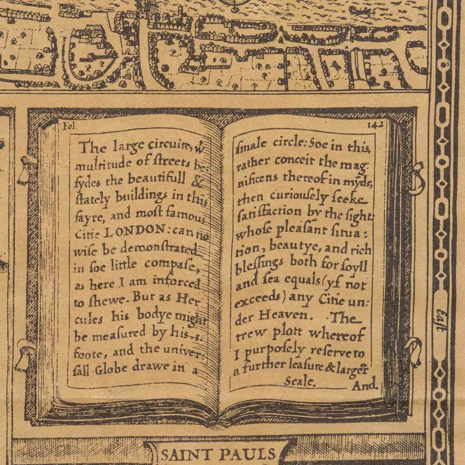
This is a vintage county map of Middlesex. An English, framed reproduction of the 16th century original by John Norden, dating to the late 20th century, circa 1980. A fascinating recreation of the historic 1595 engraving, capturing the Elizabethan-era geography of Middlesex and London in fine detail.
Delightful overview of the county and annotated with a wealth of historical interest
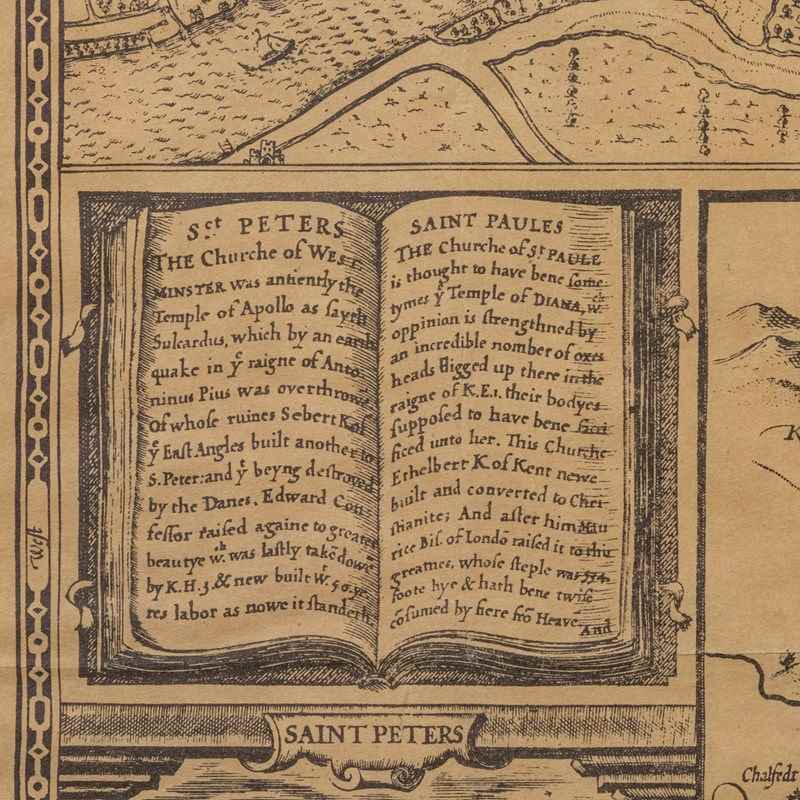
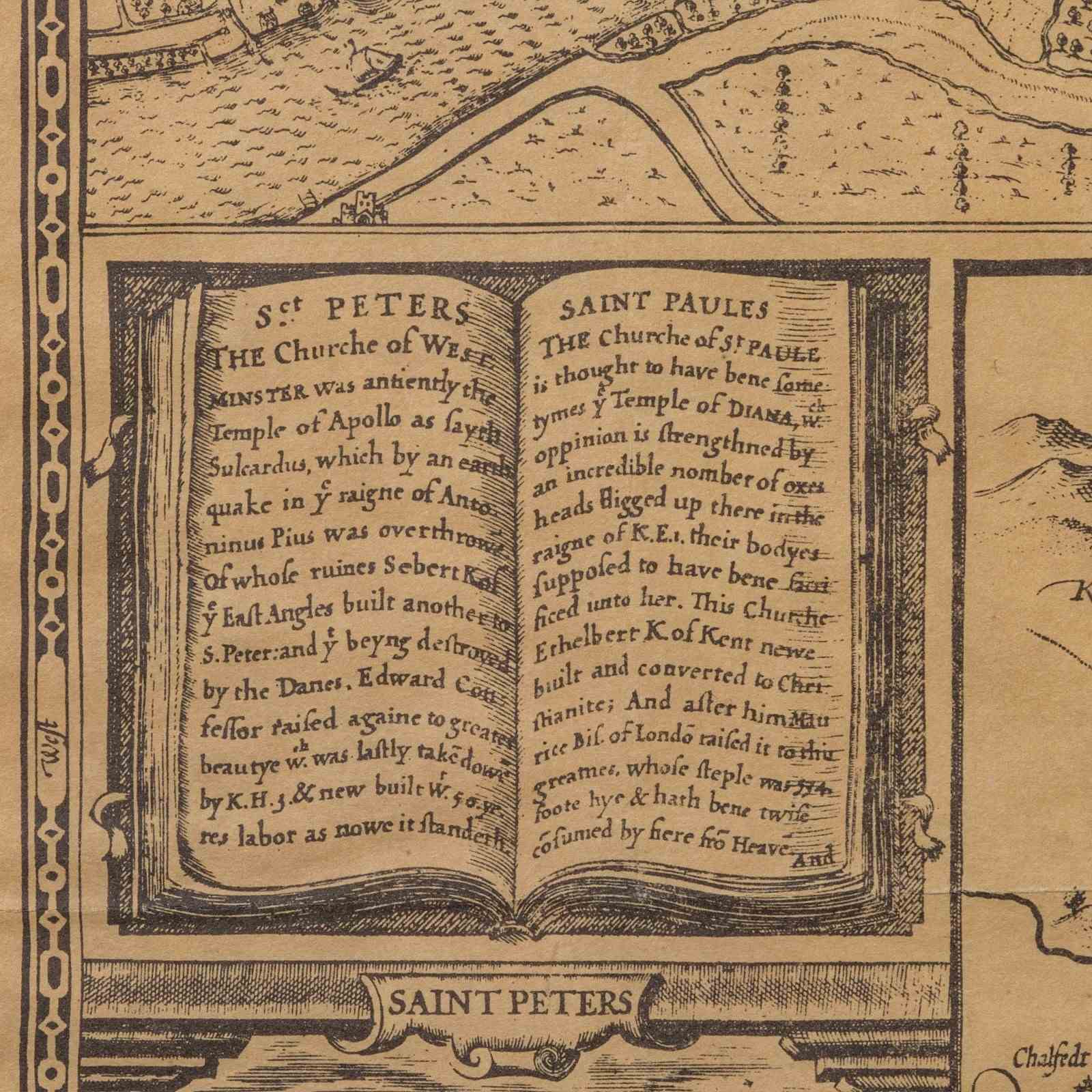
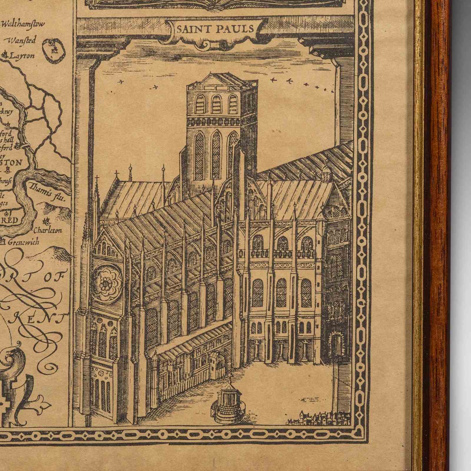
Displays period spellings, including Midle-sex and St Paules, offering rich historic interest
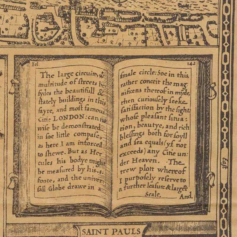
Features a detailed excerpt of the City of London, as it appeared in the late 16th century
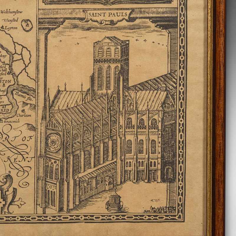
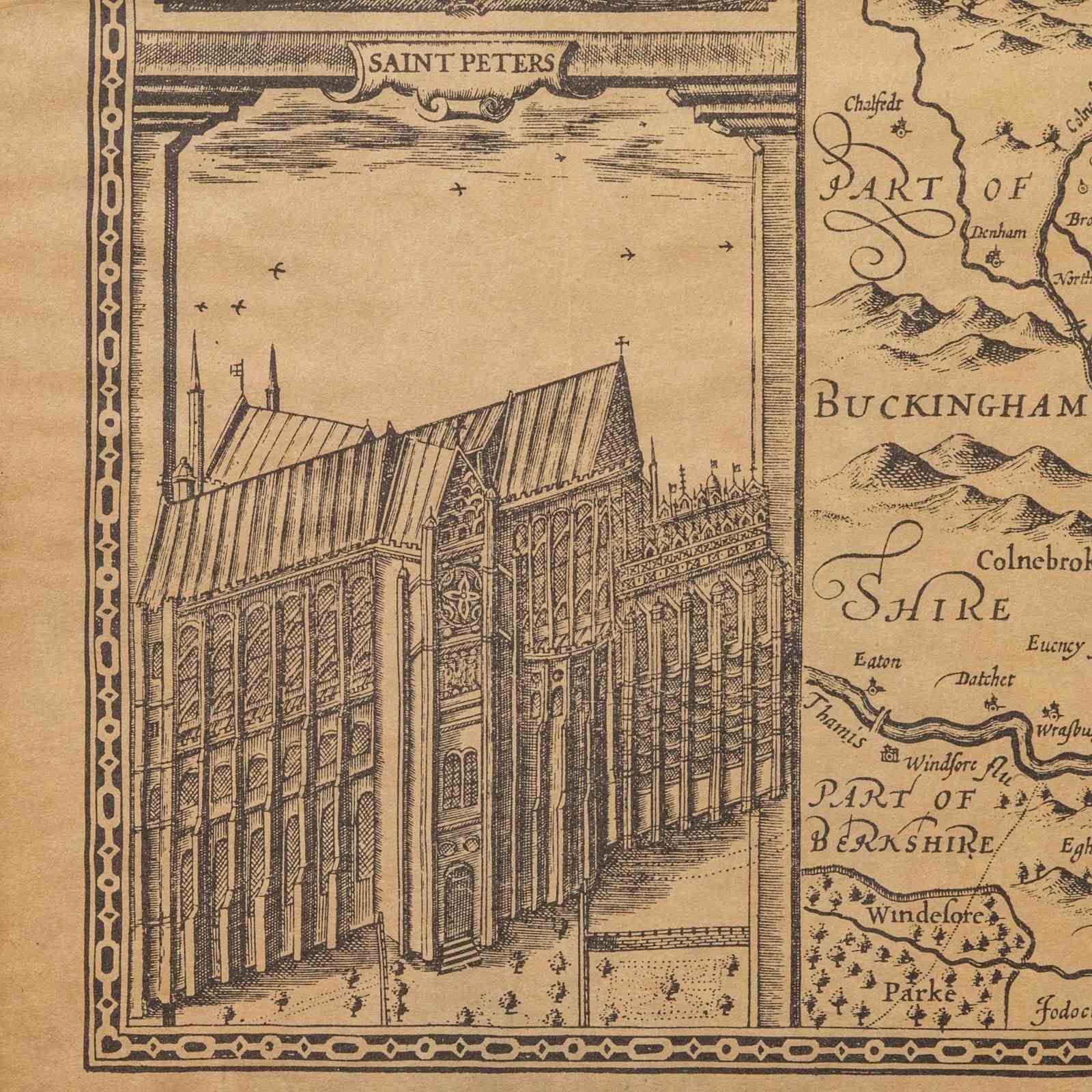
Charming vignettes depict the contemporaneous façades of St Paul’s and St Peter’s Church respectively
Presented within a quality later frame, behind clear protective glass
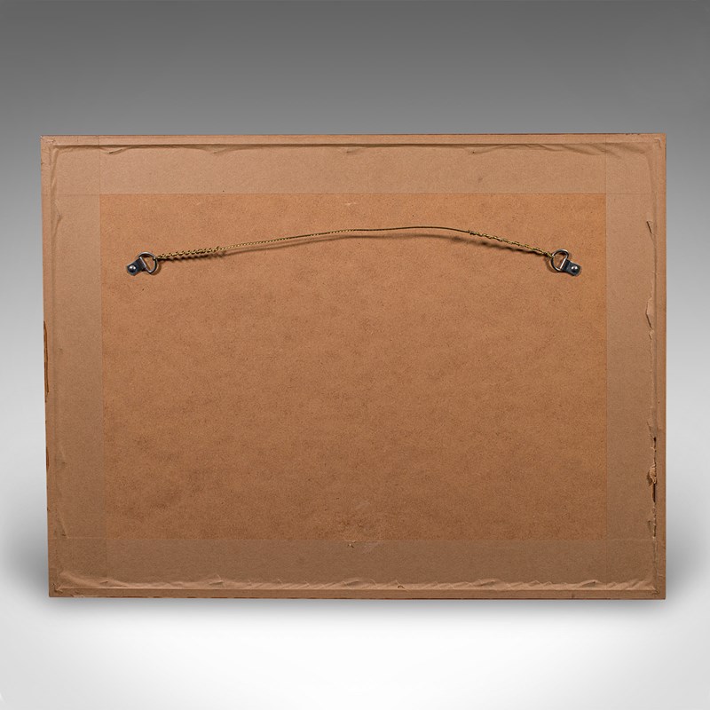
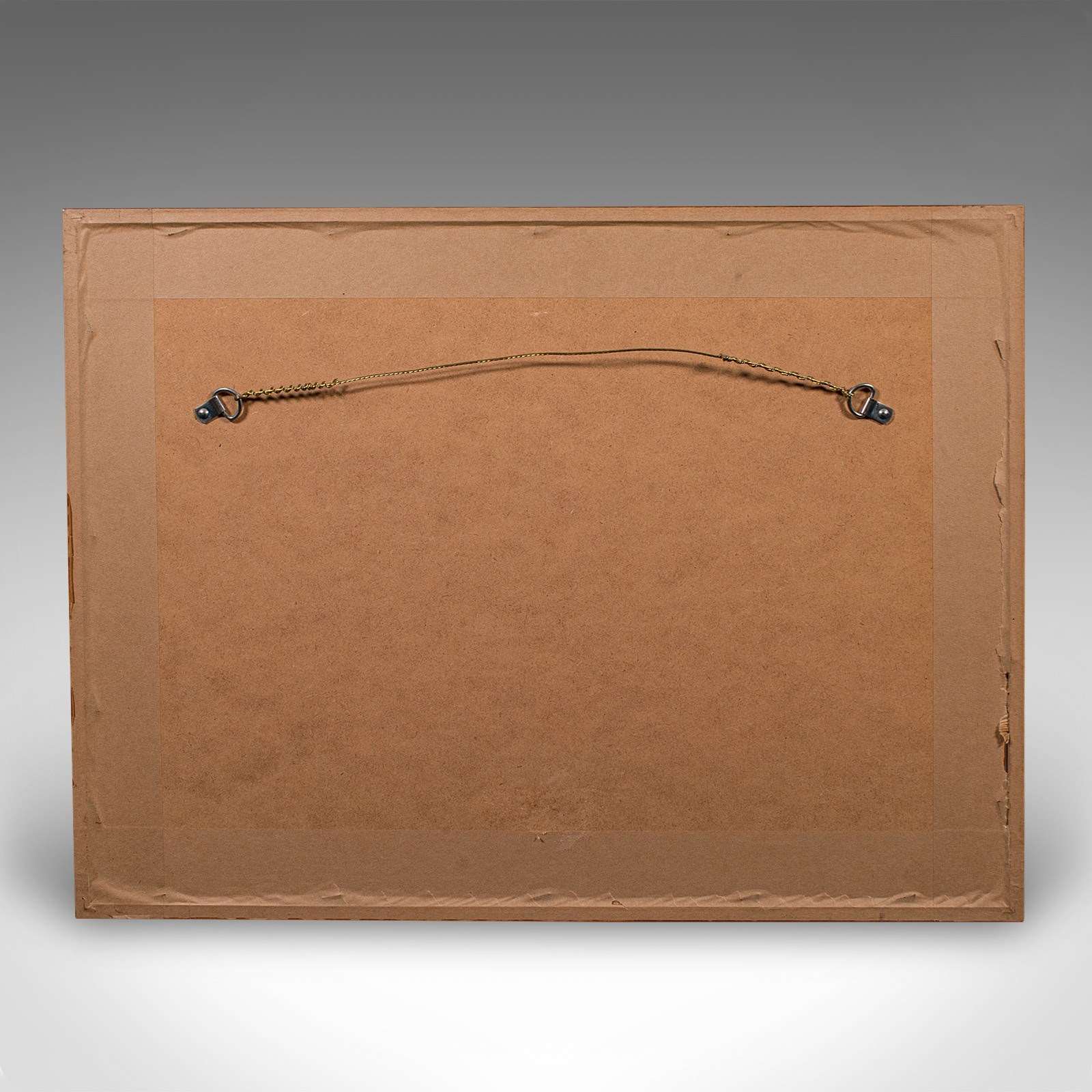
Dressed to the rear with mounting wire, ready to hang and enjoy
This is a captivating vintage reproduction of John Norden’s Middlesex map, offering rich cartographic character and superb decorative appeal. Delivered ready to display.
Dimensions:
Max Width: 51.5cm (20.25'')
Max Depth: 1cm (.5'')
Max Height: 39cm (15.25'')
Map Width: 48.5cm (19'')
Map Height: 36cm (14.25'')
Item Info
Seller
Seller Location
Hele, Devon
Item Dimensions
H: 39cm W: 51.5cm D: 1cm
Period
1980s
Item Location
United Kingdom
Seller Location
Hele, Devon
Item Location
United Kingdom
Seller Contact No
+44 (0)207 1833511
More from LONDON FINE ANTIQUES