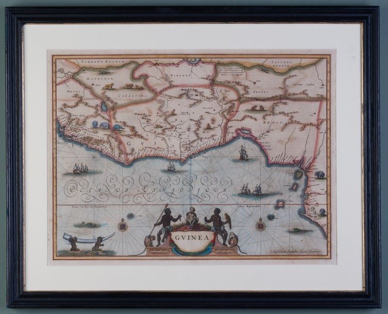
Map Of Guinea
Stock No
6001
2015
- £780.00
- €902 Euro
- $1,047 US Dollar
Questions about this item?
Like this item?
Item Description
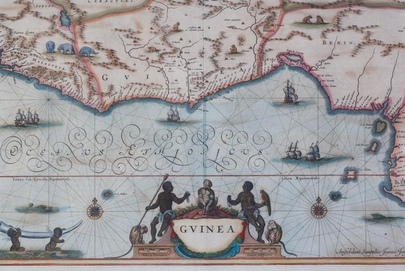
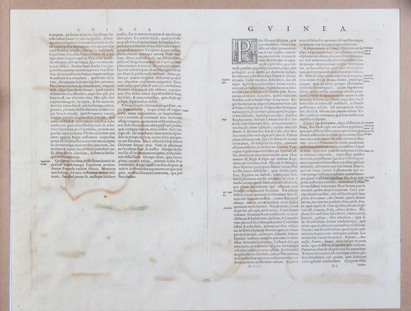
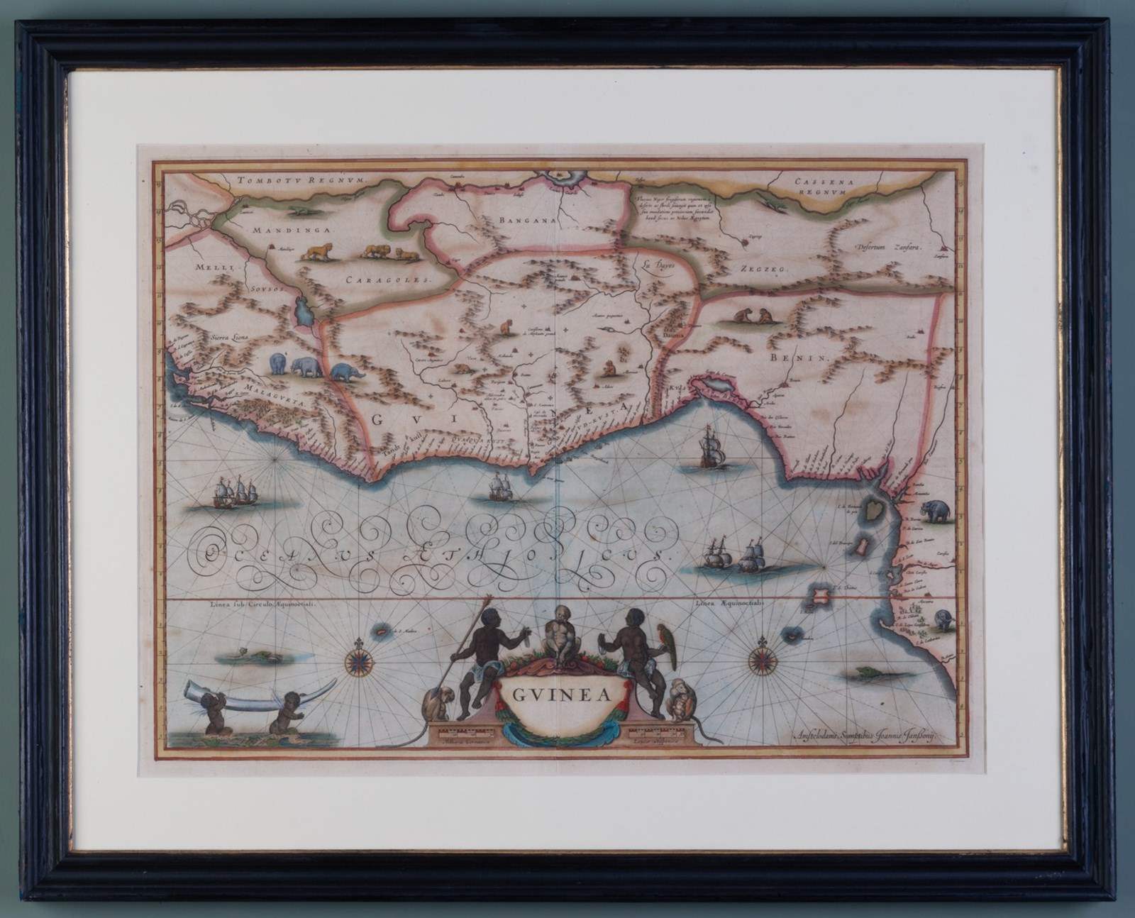
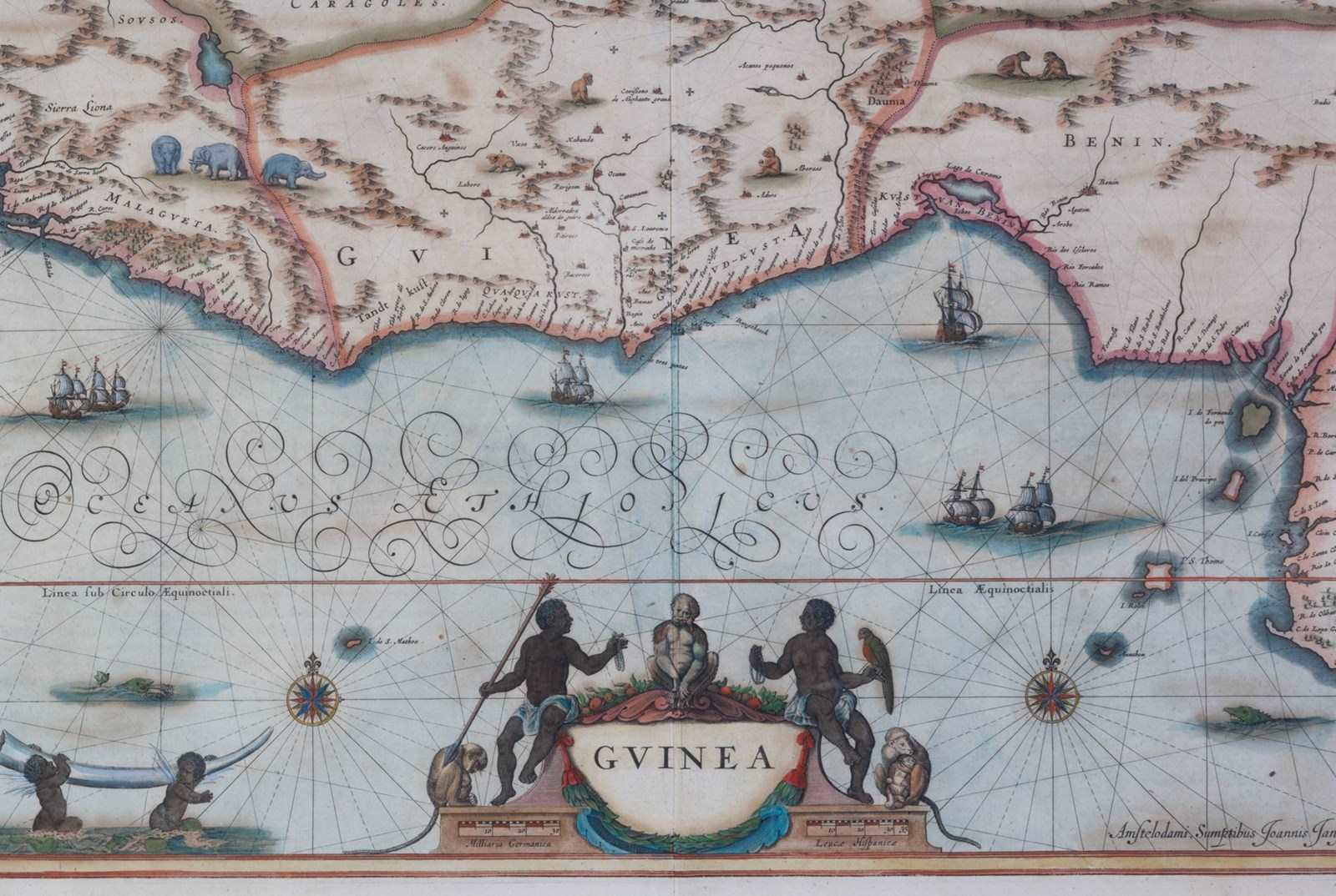
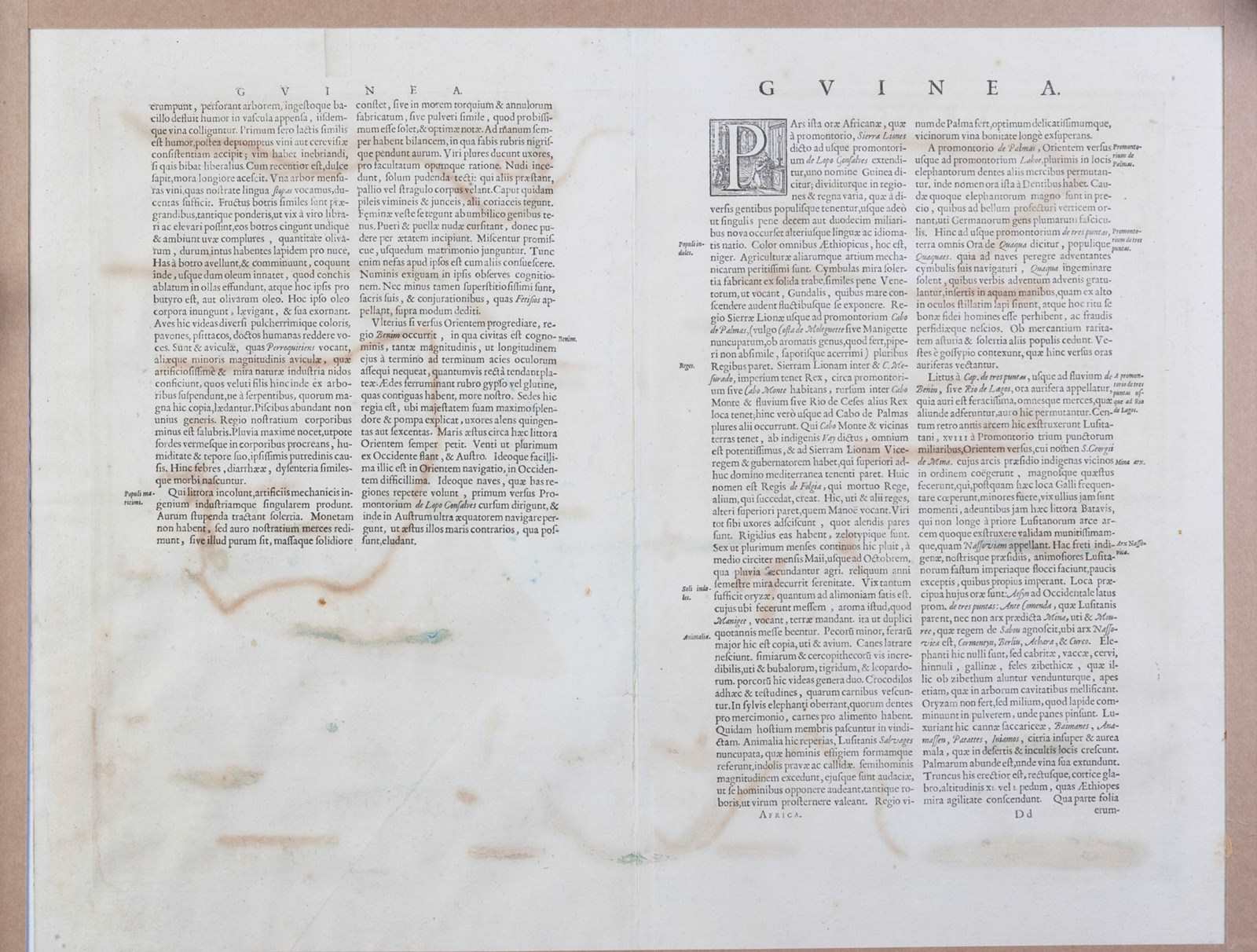
Dating to around 1690, this map charts the coastline of what was known in the past as 'Guinea', a region of Western Africa.
Created by Nicolaes Visscher and Johannes Jansson as part of the "Atlas Minor sive Geographia Compendiosa", the plate mark for the map measures 52 cm x 38 cm.
With original hand colouring, the engraving depicts to great effect the various kingdoms, cities and important rivers highlighting the trade routes important at the time of making. Particular reference is made to the transatlantic trade, the point emphasised by showing trading ships all around the coast, sea monsters to show the dangerous nature of this trade and across the land itself, elephants, monkeys and lions. The wonderful cartouche surrounding the title shows us indigenous characters bearing necklaces of trade beads or pearls, hunting spear and parrot, together with various species of monkey. Two virtuous looking cherubs stride through the shallow coastal waters bearing a huge tusk of elephant ivory.
Within a hand made and finished frame, glazed front and back.
o.s:27.25 ins x 22 ins
Item Info
Seller
Seller Location
London, London
Period
18th Century & Earlier
Item Location
United Kingdom
Seller Location
London, London
Item Location
United Kingdom
Seller Contact No
+44 (0)207 7275263
+44 (0)7831 561042
More from WALPOLES