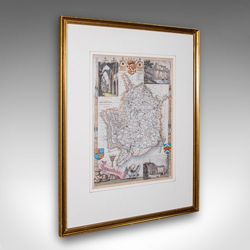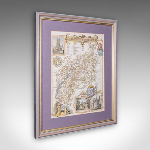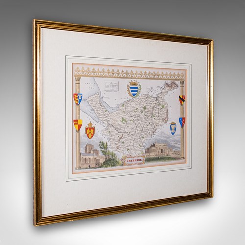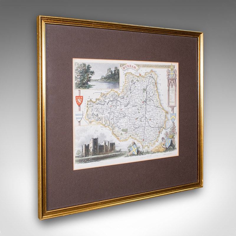
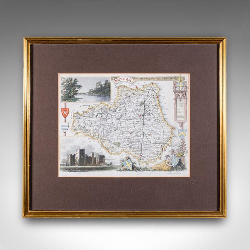
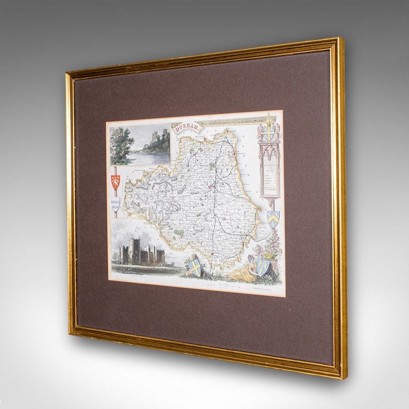
Antique Map Of County Durham, English, Framed, After Moule, Victorian, C.1900
Stock No
26307
2024
- £295.00
- €345 Euro
- $398 US Dollar
Questions about this item?
Like this item?
Item Description
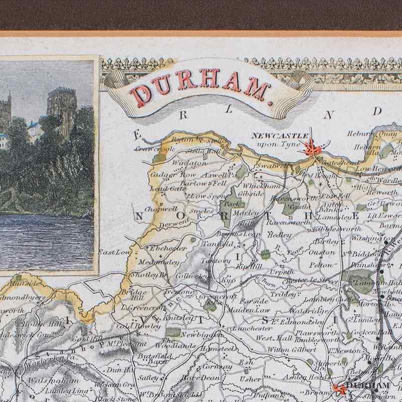
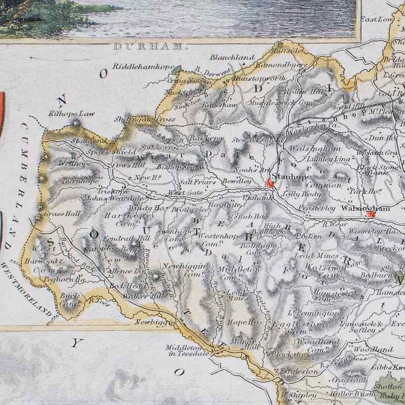
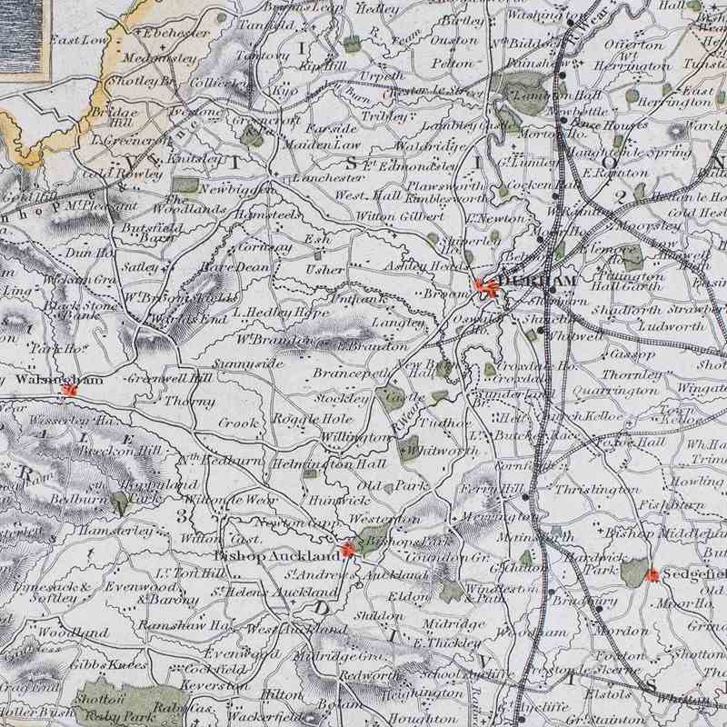
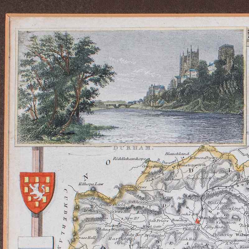
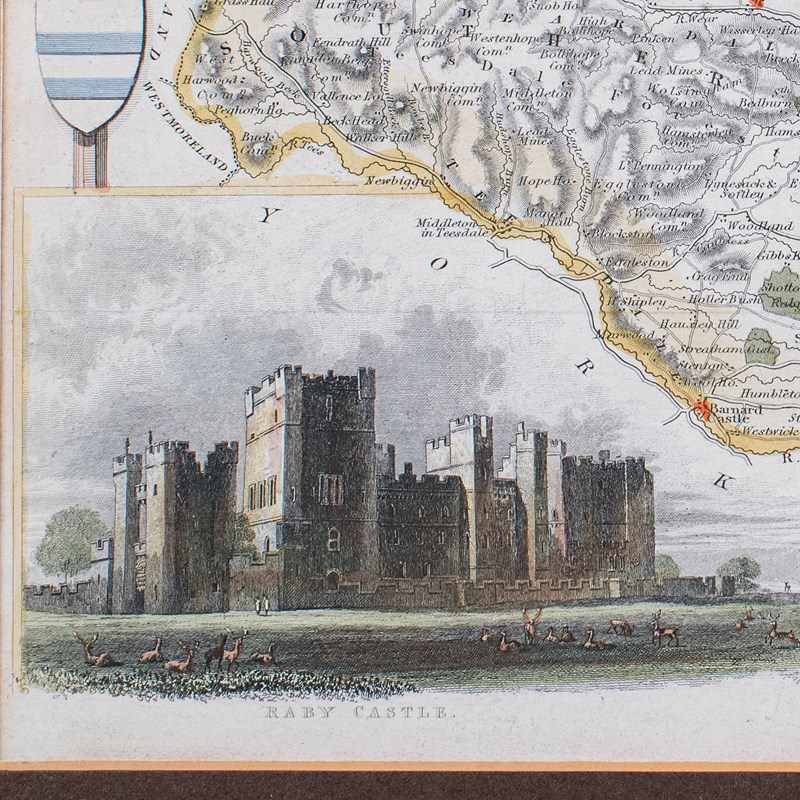
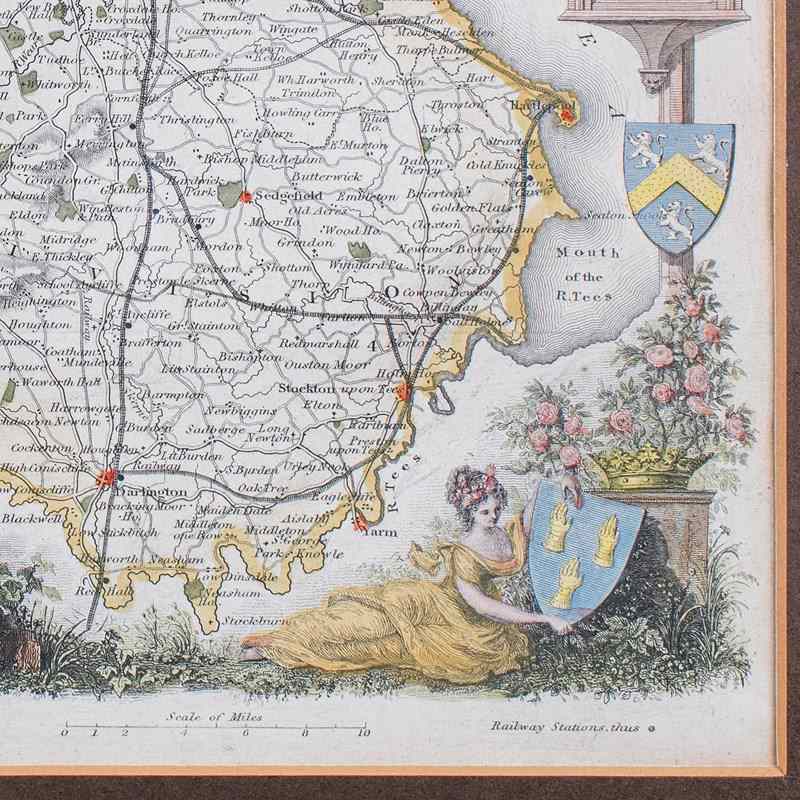
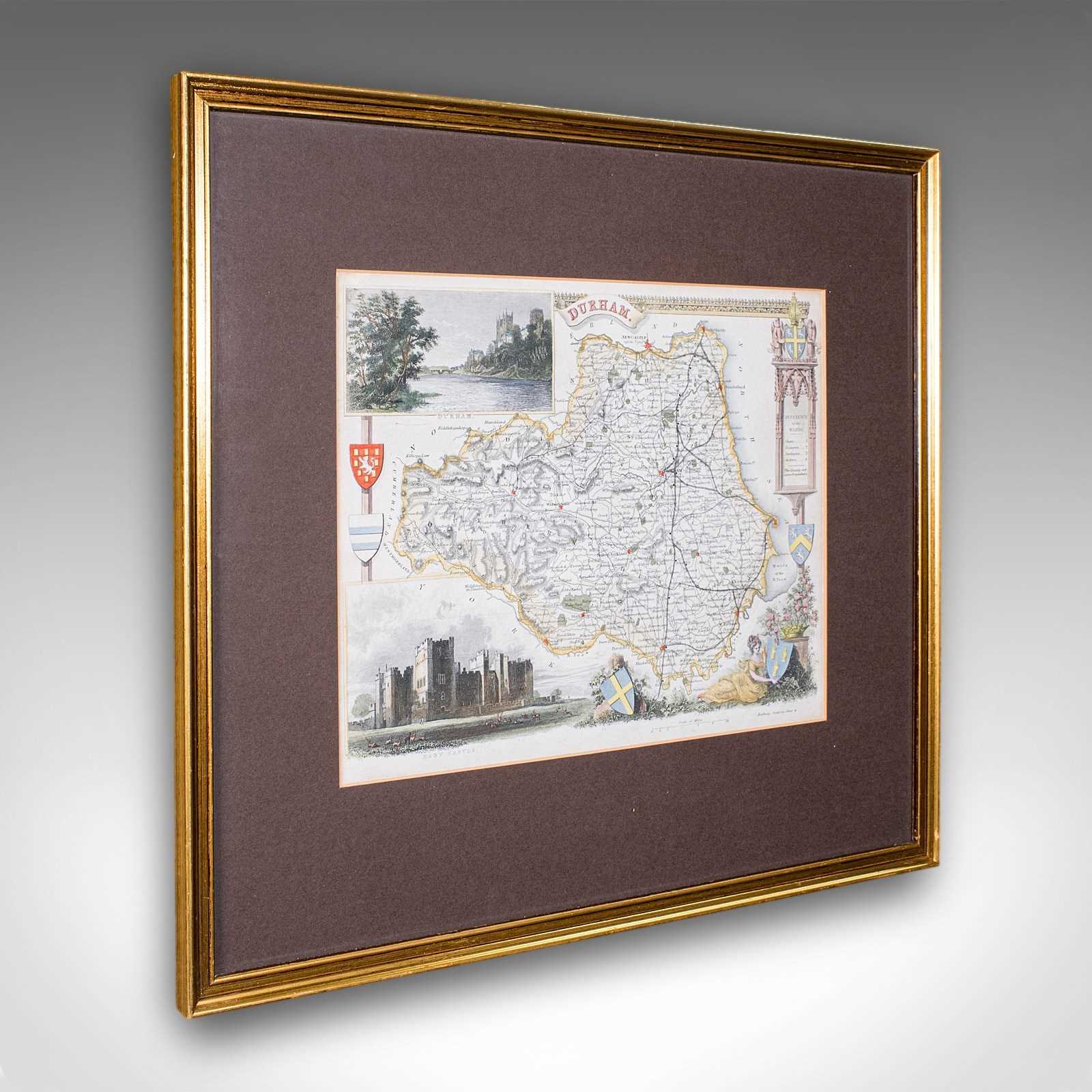
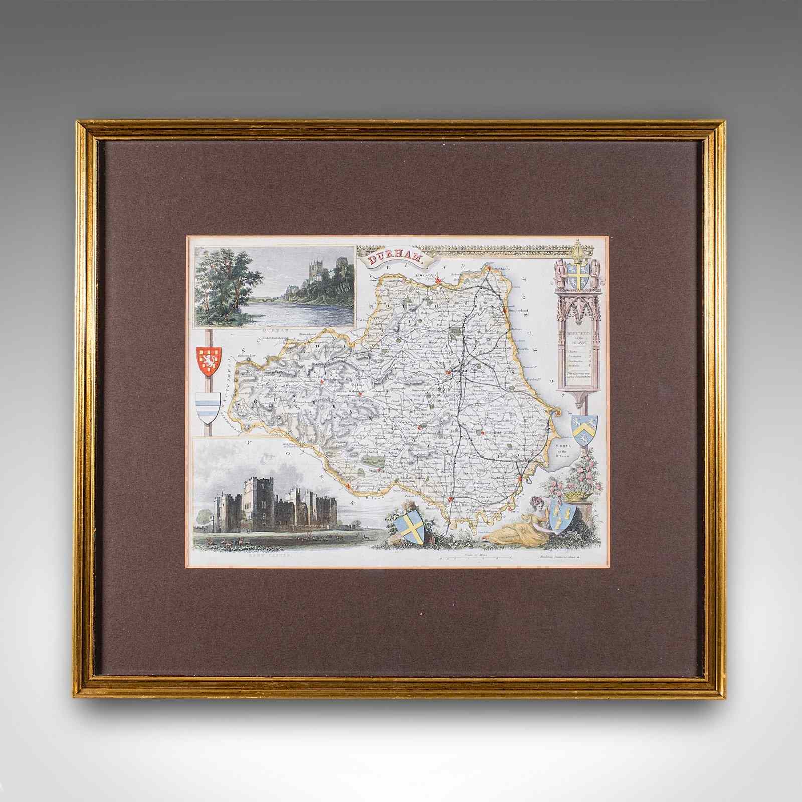
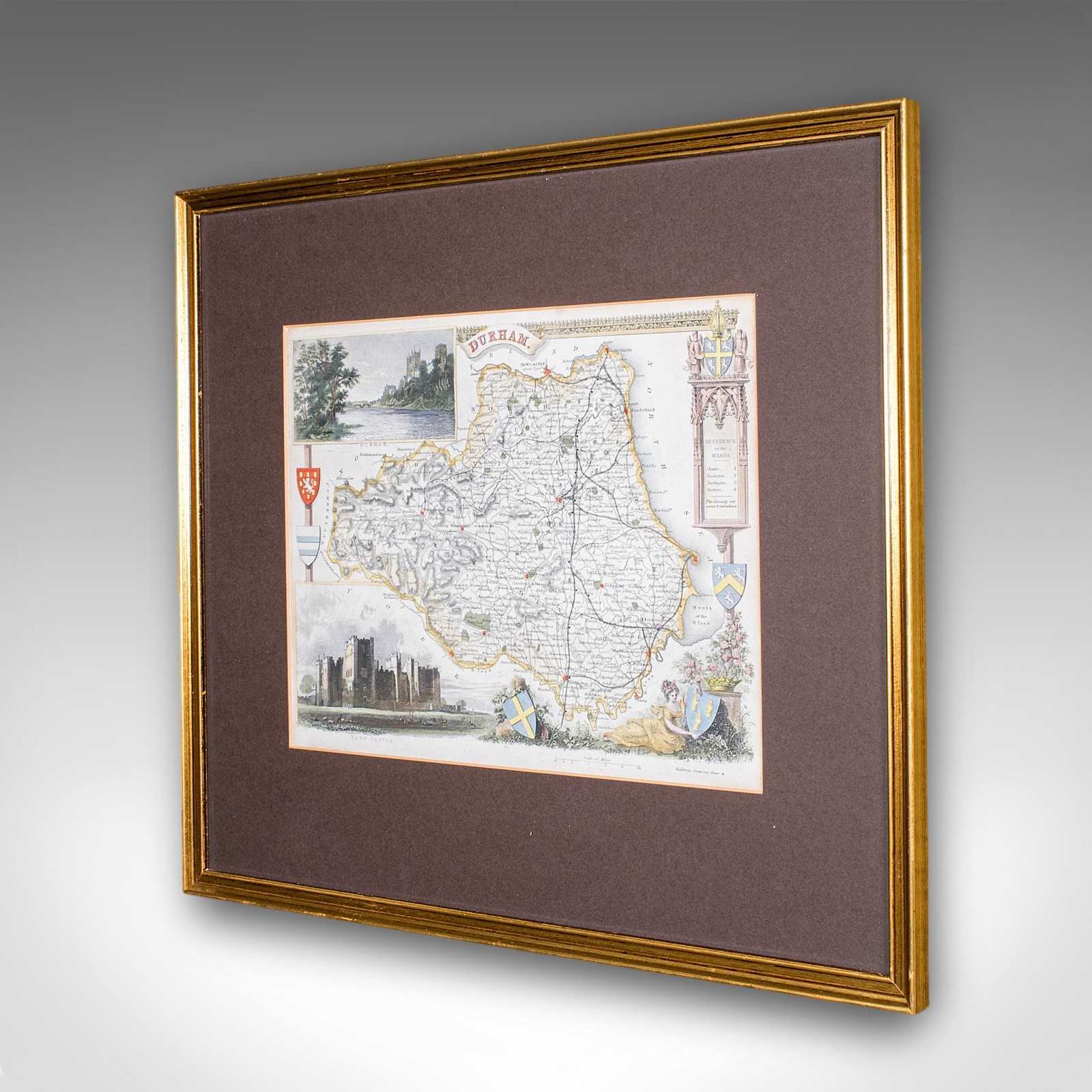
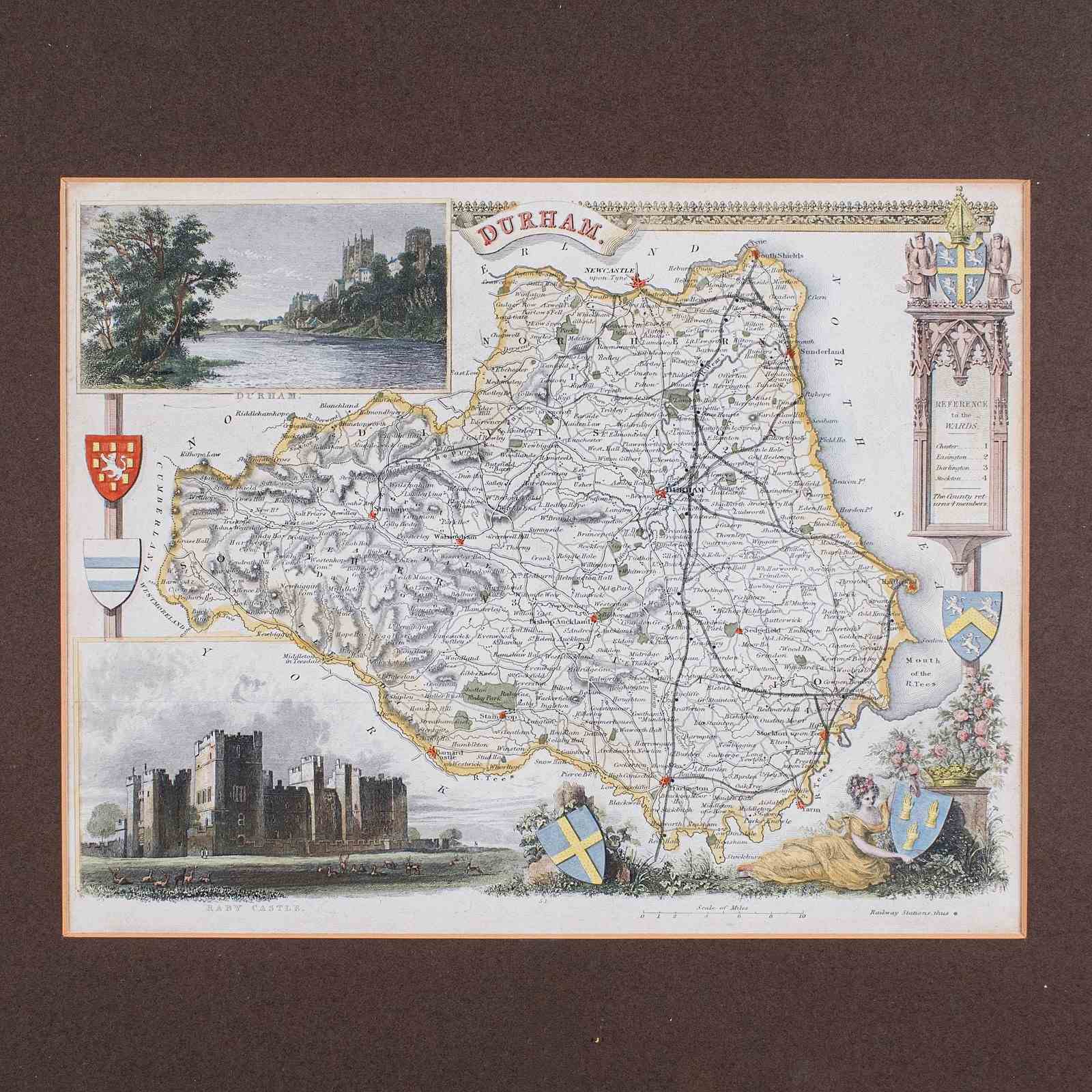
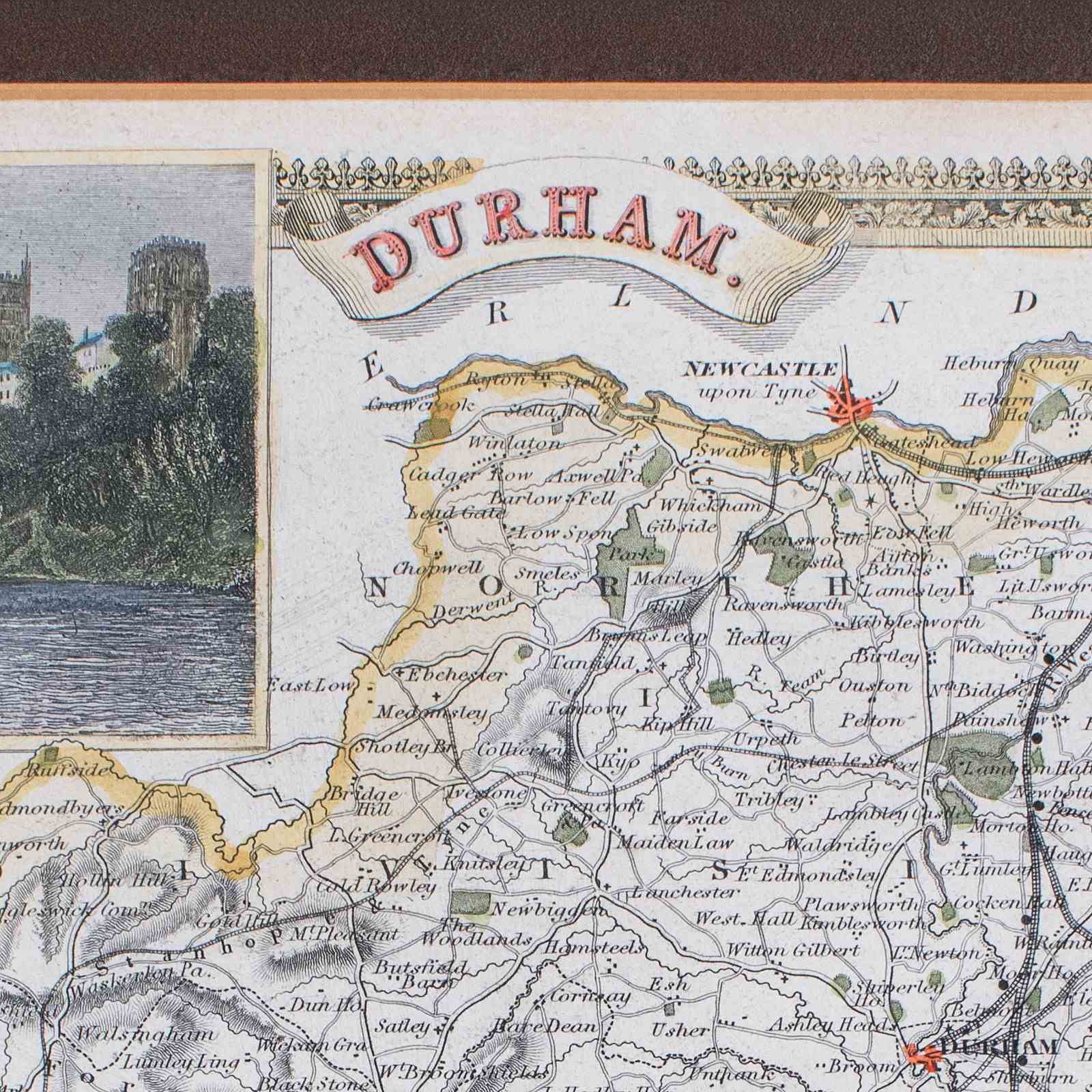
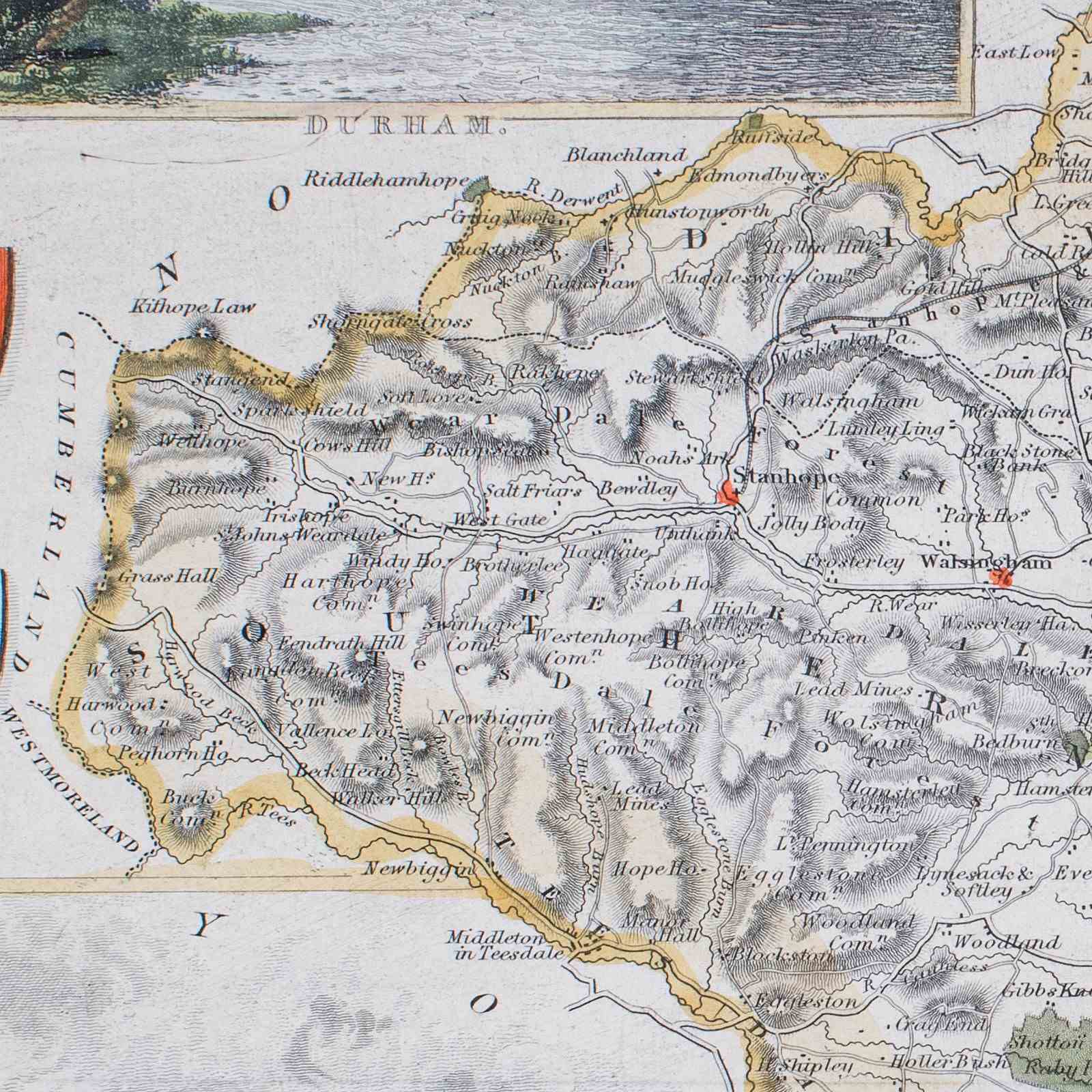
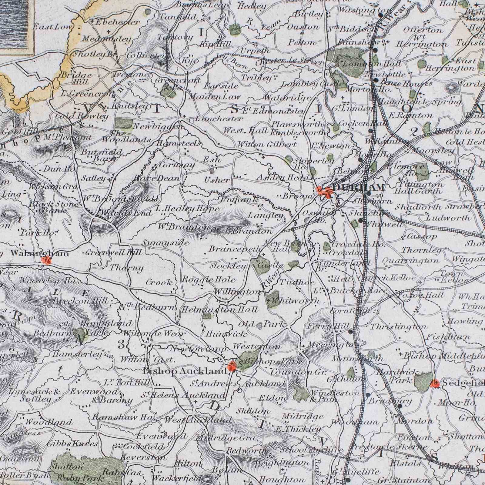
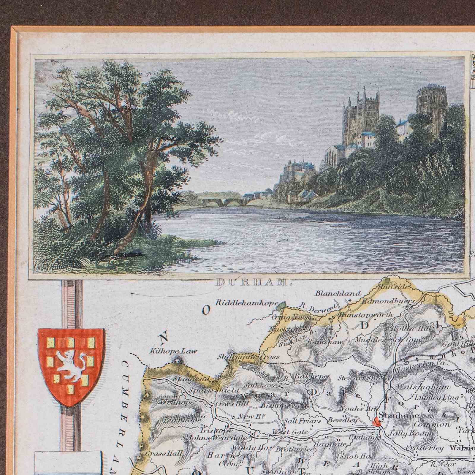
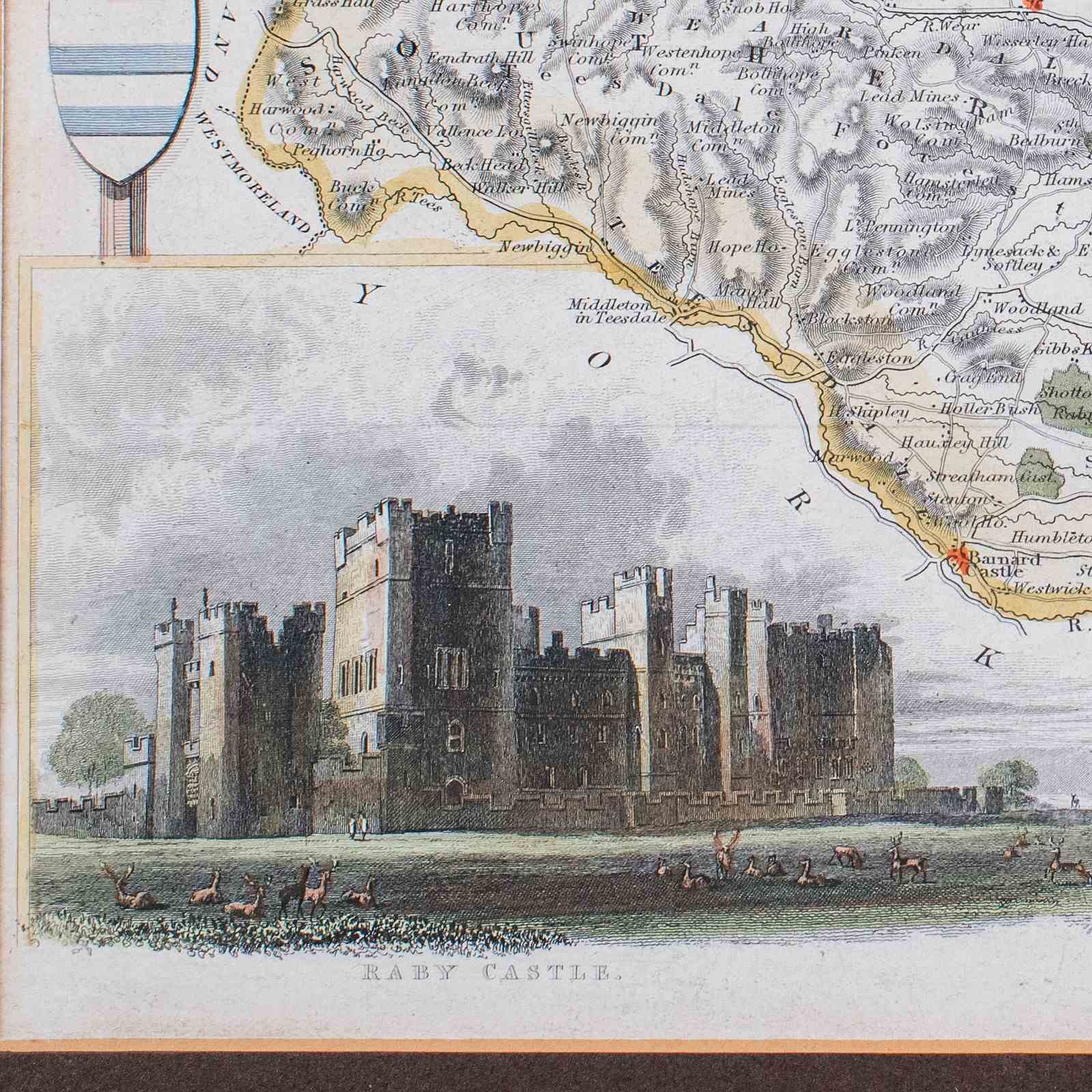
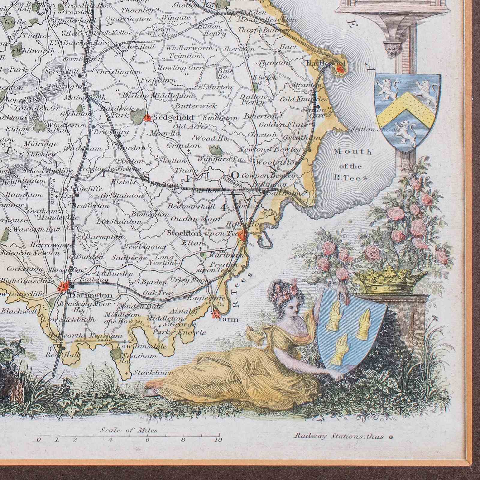
This is an antique map of County Durham. An English, atlas reproduction of the Thomas Moule original, dating to the late Victorian period, circa 1900.
Excellent reproduction cartography, by the renowned Thomas Moule
Displaying a desirable aged patina and in good order
Presented behind clear, bright glass with a dark brown card border
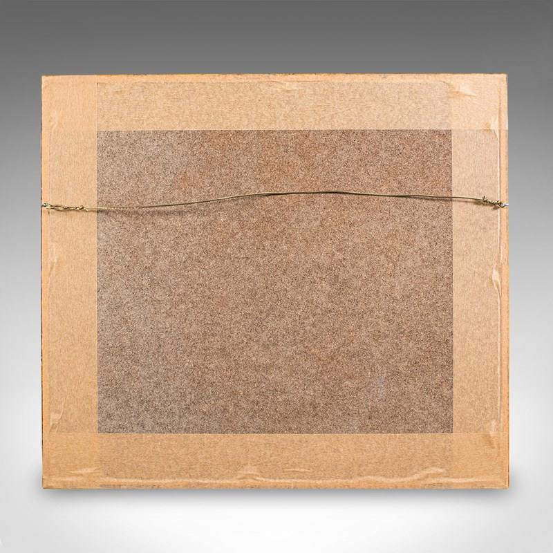
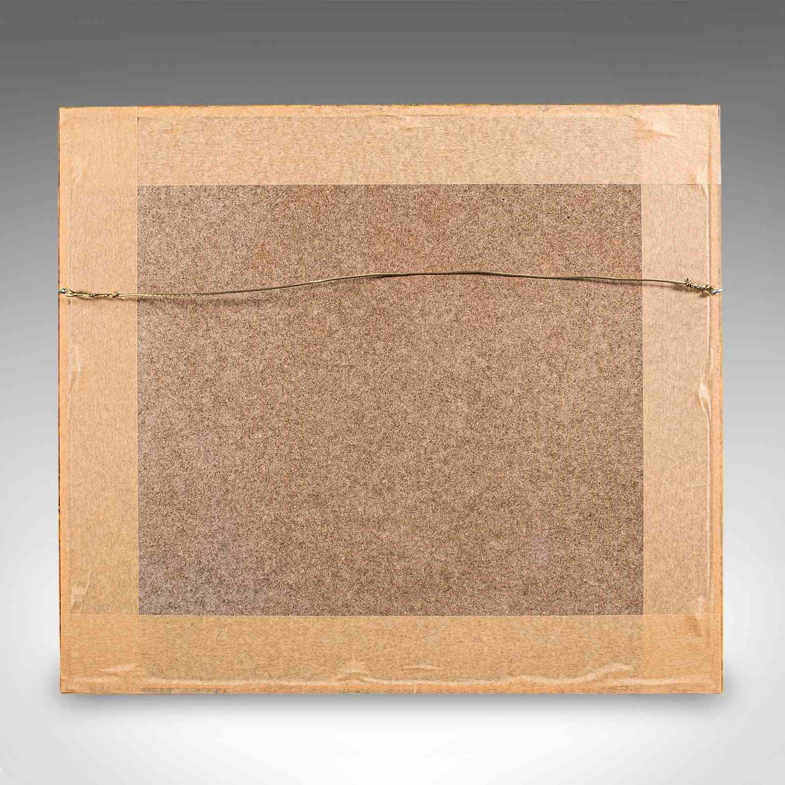
Later giltwood frame with deep golden hues, dressed to the reverse with hanging wire
Desirable period cartography, as expected of the renowned Thomas Moule (1784 - 1851)
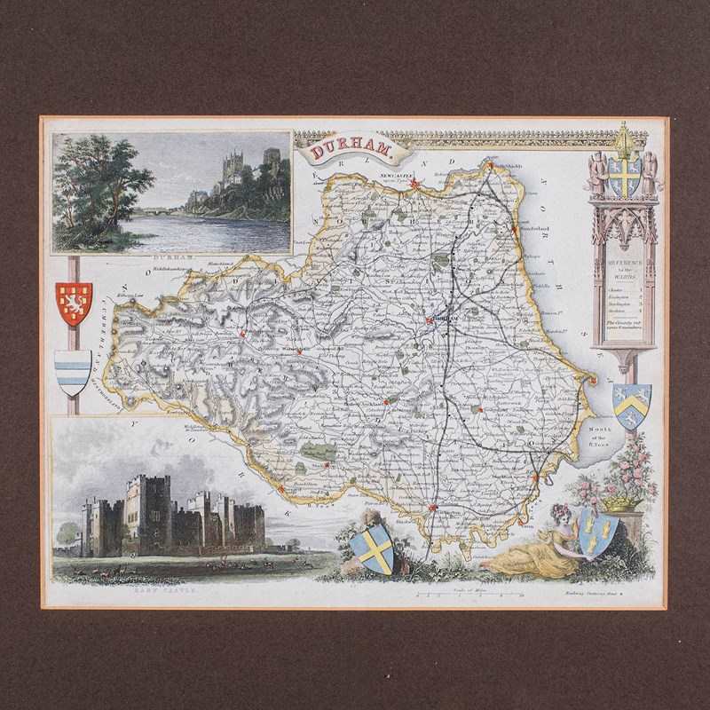
Provides excellent detail to Durham, the county situated in the North East of England
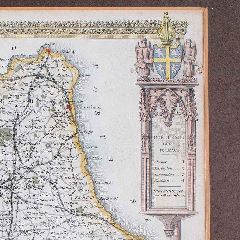
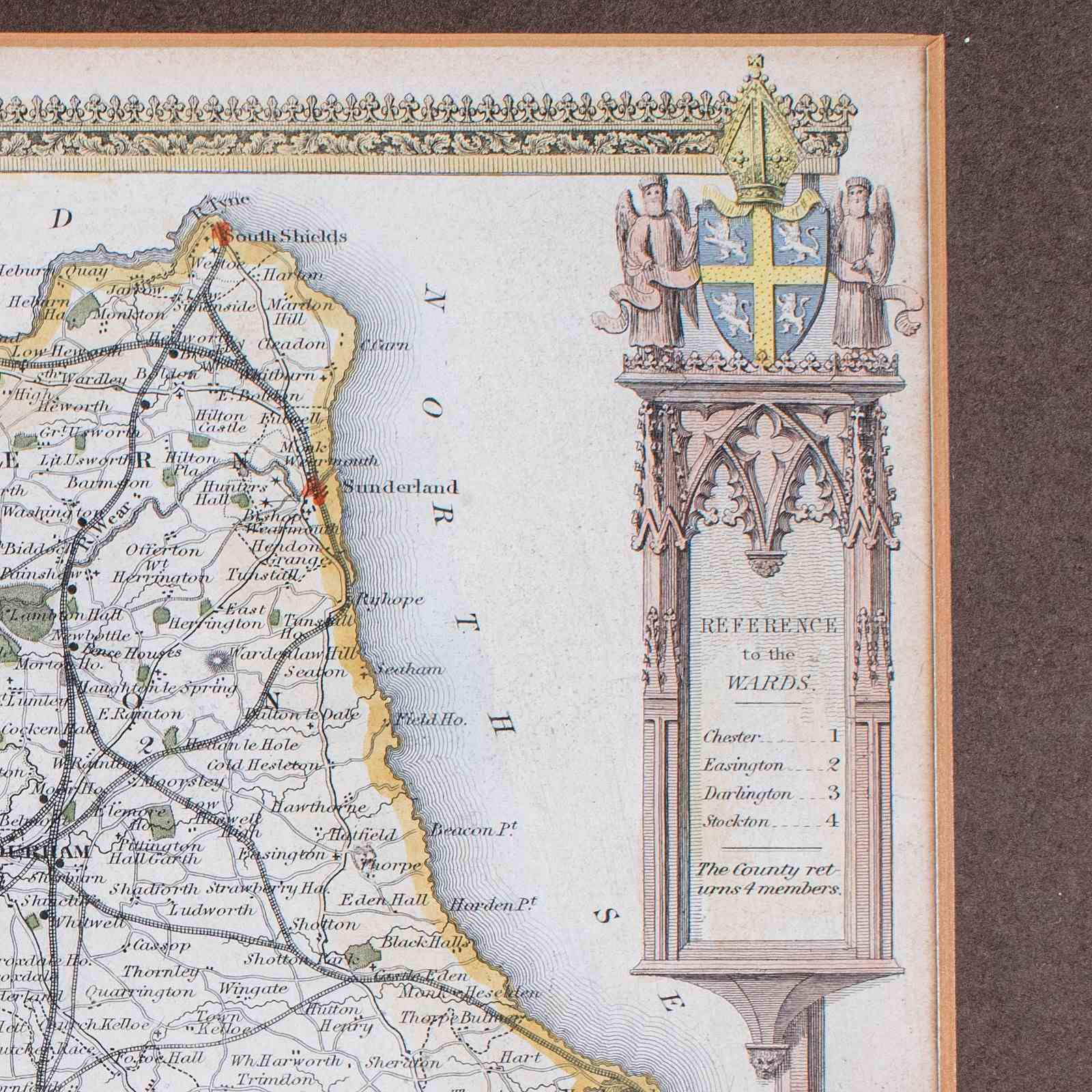
Accentuated with Gothic revival motif and colourful heraldry, a Moule hallmark
Map tastefully hand coloured in a delightful palette of eye-catching hues
Pair of excellent vignettes, showing Durham from the banks of the Wear, and Raby Castle
Reference table given to the Hundreds, an administrative boundary in use until the late 19th century
George Virtue included these Moule maps in James Barclay's Complete & Universal English Dictionary
This edition likely featured within a later print run of the reference volume
This is a wonderful antique County Durham atlas map, with a finely detailed and quality Victorian reproduction of the Thomas Moule original. A treat for area residents, descendants or collectors. Delivered ready to display.
Dimensions:
Max Width: 40.5cm (16'')
Max Depth: 1.5cm (.5'')
Max Height: 36cm (14.25'')
Map Width: 26.5cm (10.5'')
Map Height: 21cm (8.25'')
Item Info
Seller
Seller Location
Hele, Devon
Item Dimensions
H: 36cm W: 40.5cm D: 1.5cm
Period
1900s
Item Location
United Kingdom
Seller Location
Hele, Devon
Item Location
United Kingdom
Seller Contact No
+44 (0)207 1833511
More from LONDON FINE ANTIQUES