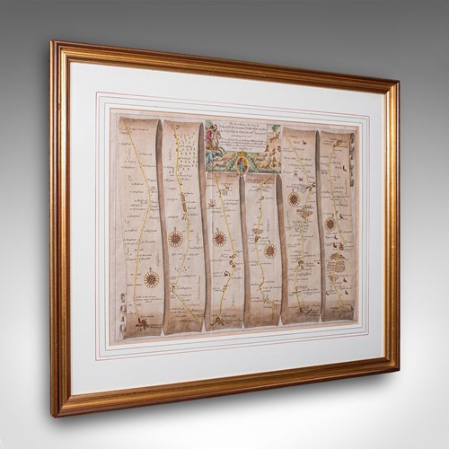
Vintage Map, Lincoln, Nottingham, English, After Christopher Saxton, Cartography
Stock No
26107
2024
- £495.00
- €583 Euro
- $666 US Dollar
Questions about this item?
Like this item?
Item Description
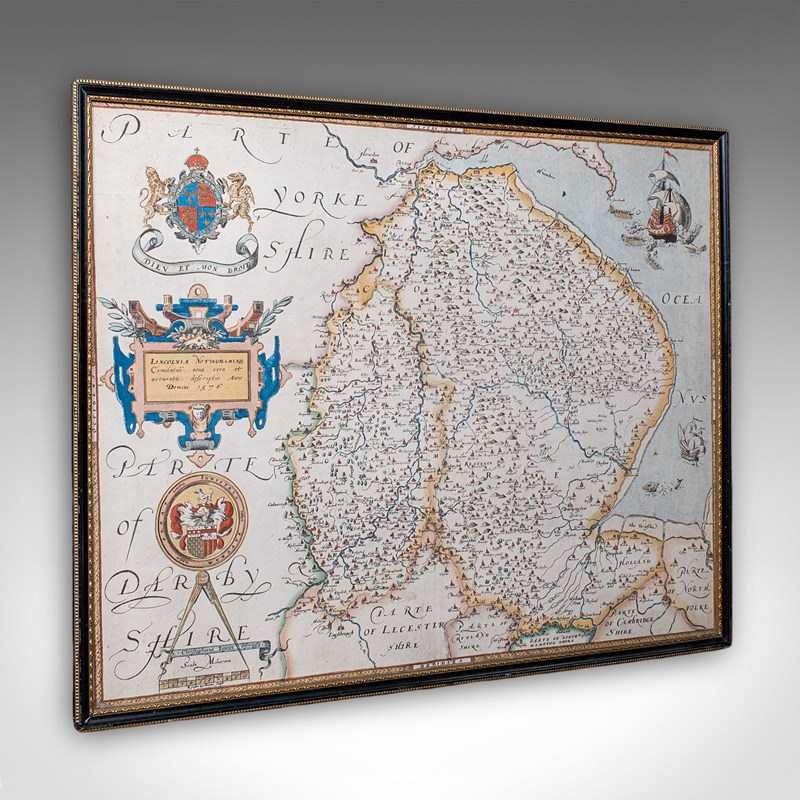
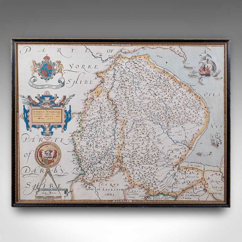
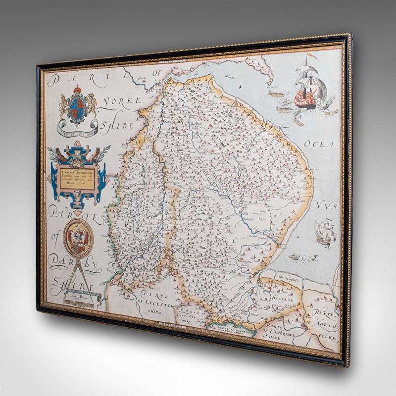
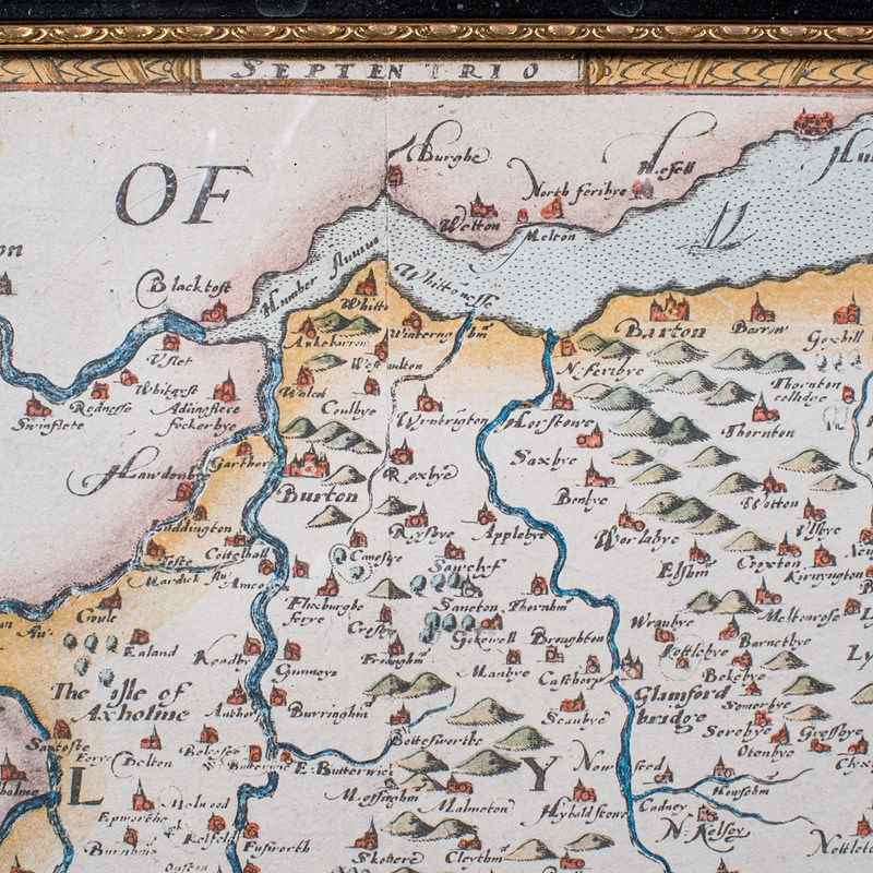
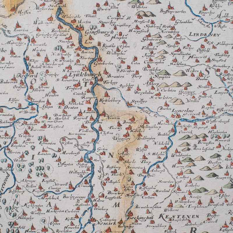
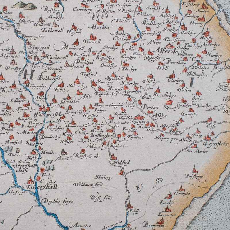
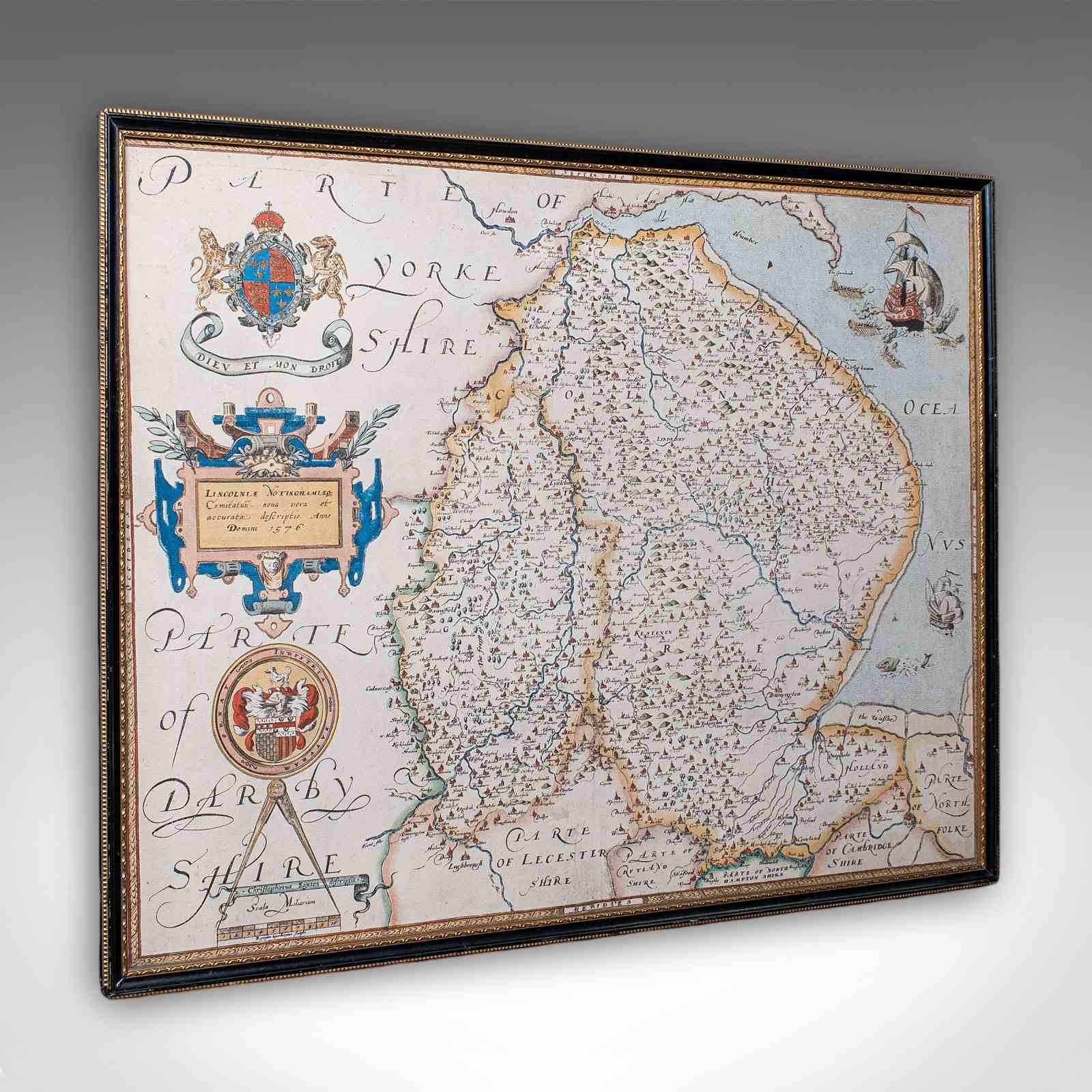
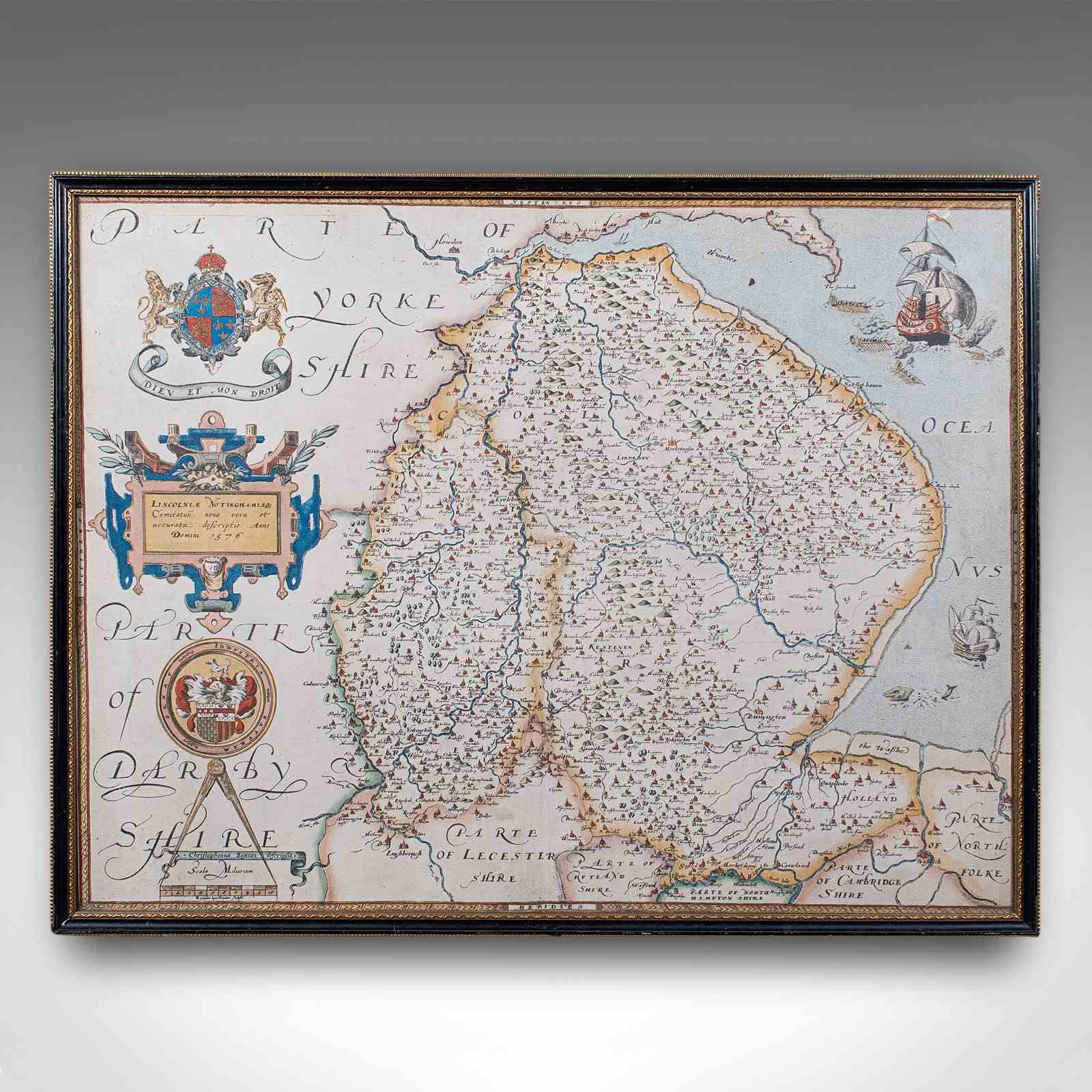
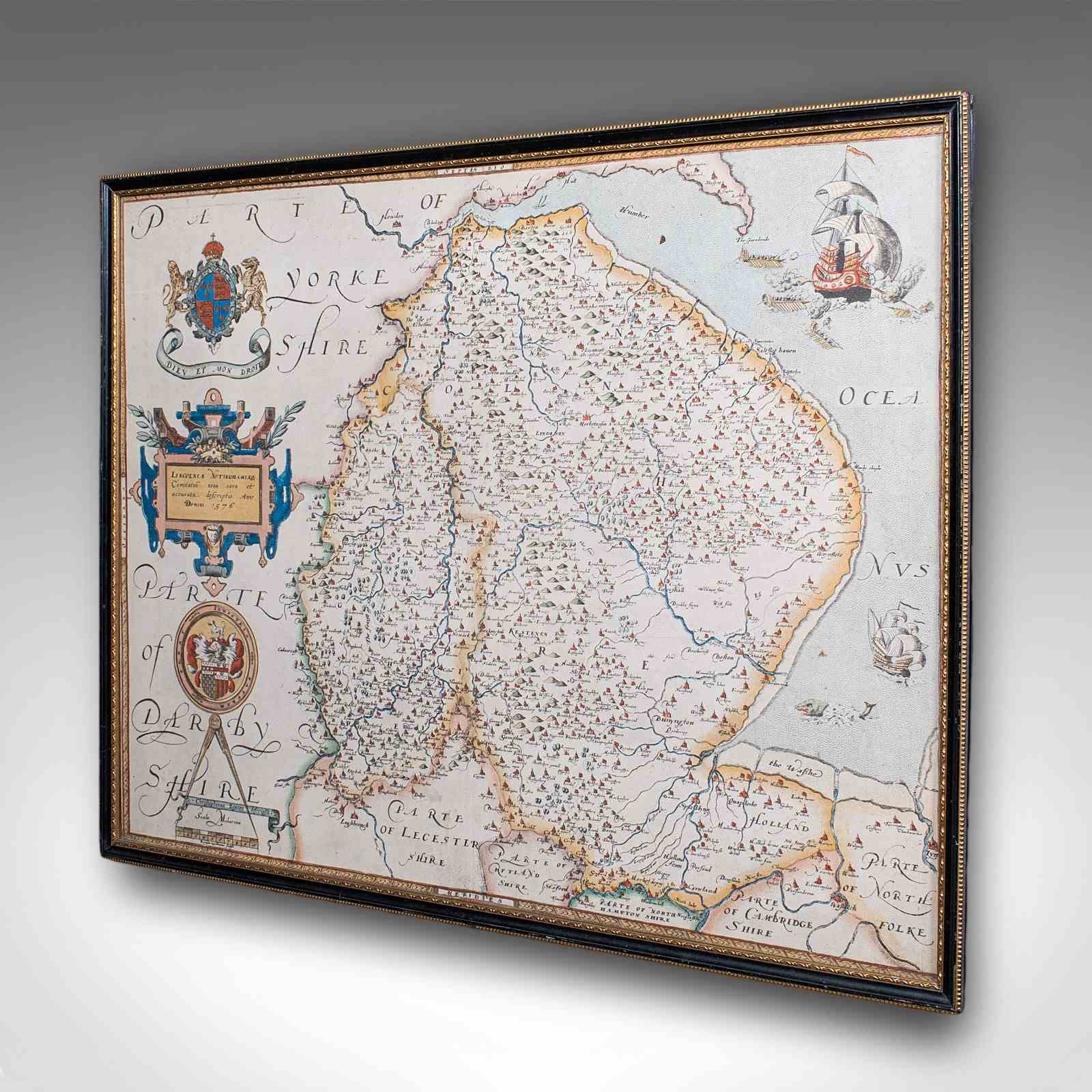
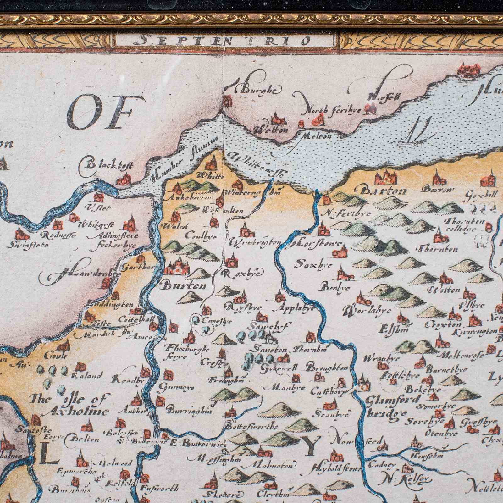
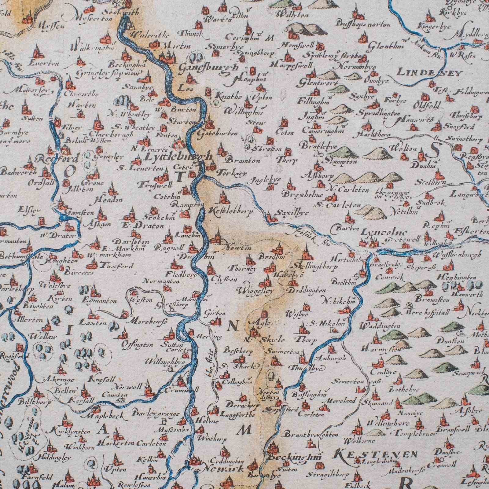
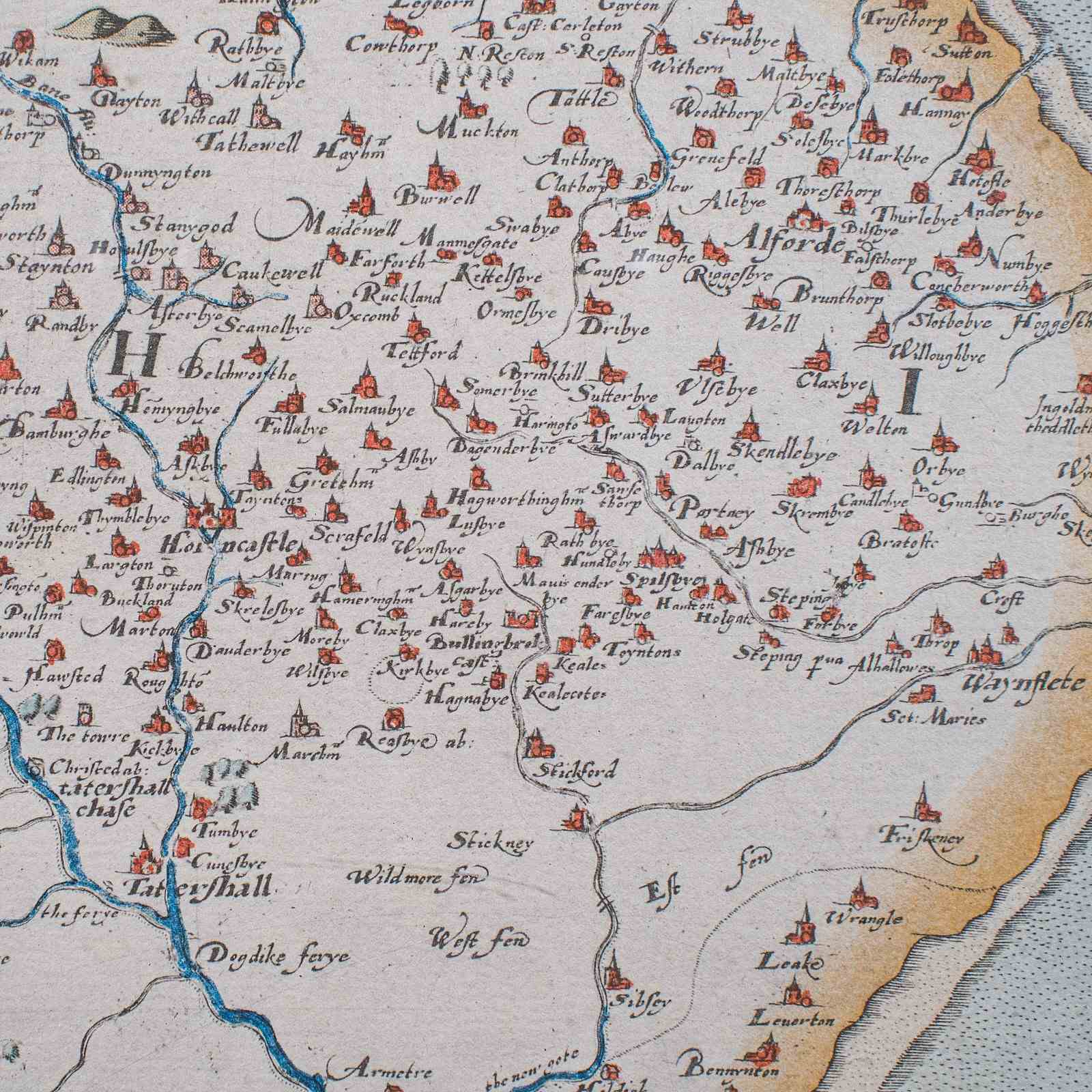
This is a vintage dual county map of Lincoln and Nottingham. An English, framed reproduction of the 16th century original by Christopher Saxton, dating to the late 20th century, circa 1970.
Quality reproduction on board, after Christopher Saxton's landmark 16th century map
Displays a desirable aged patina and in good order
Presented within a later, quality frame with gilt and ebonised finish
Presented behind clear, bright glass with hanging wire to rear for ease of mounting
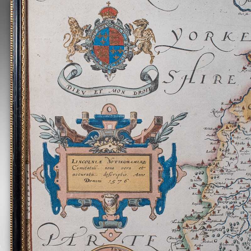
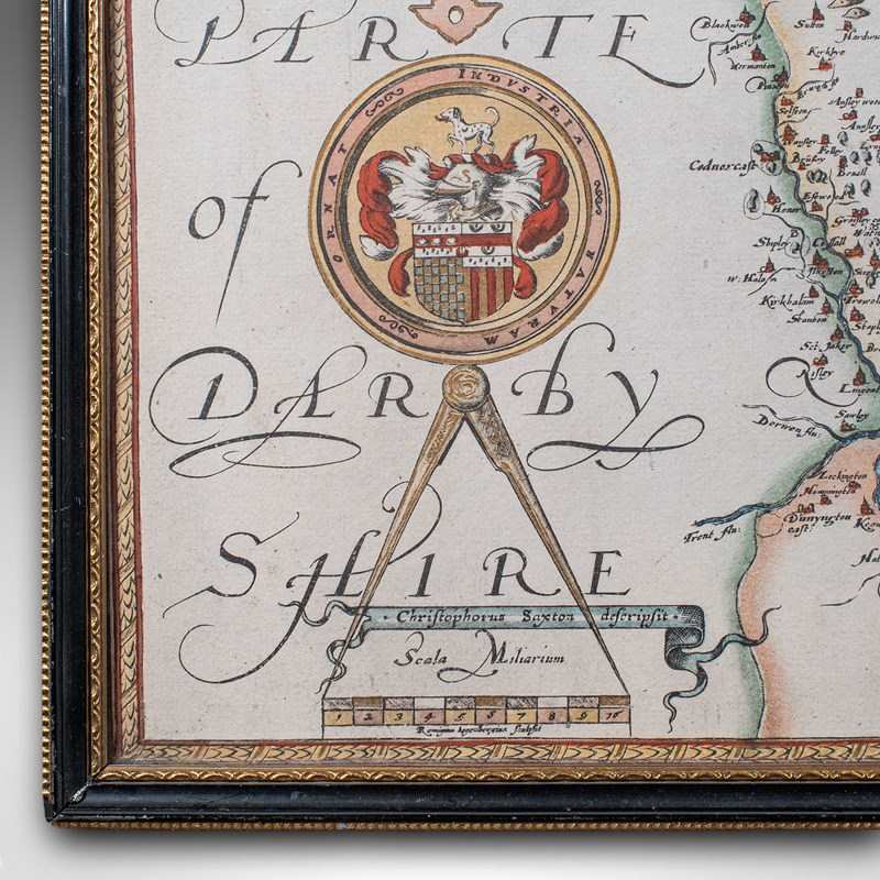
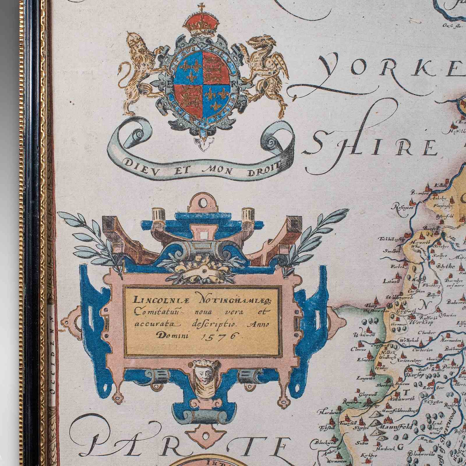
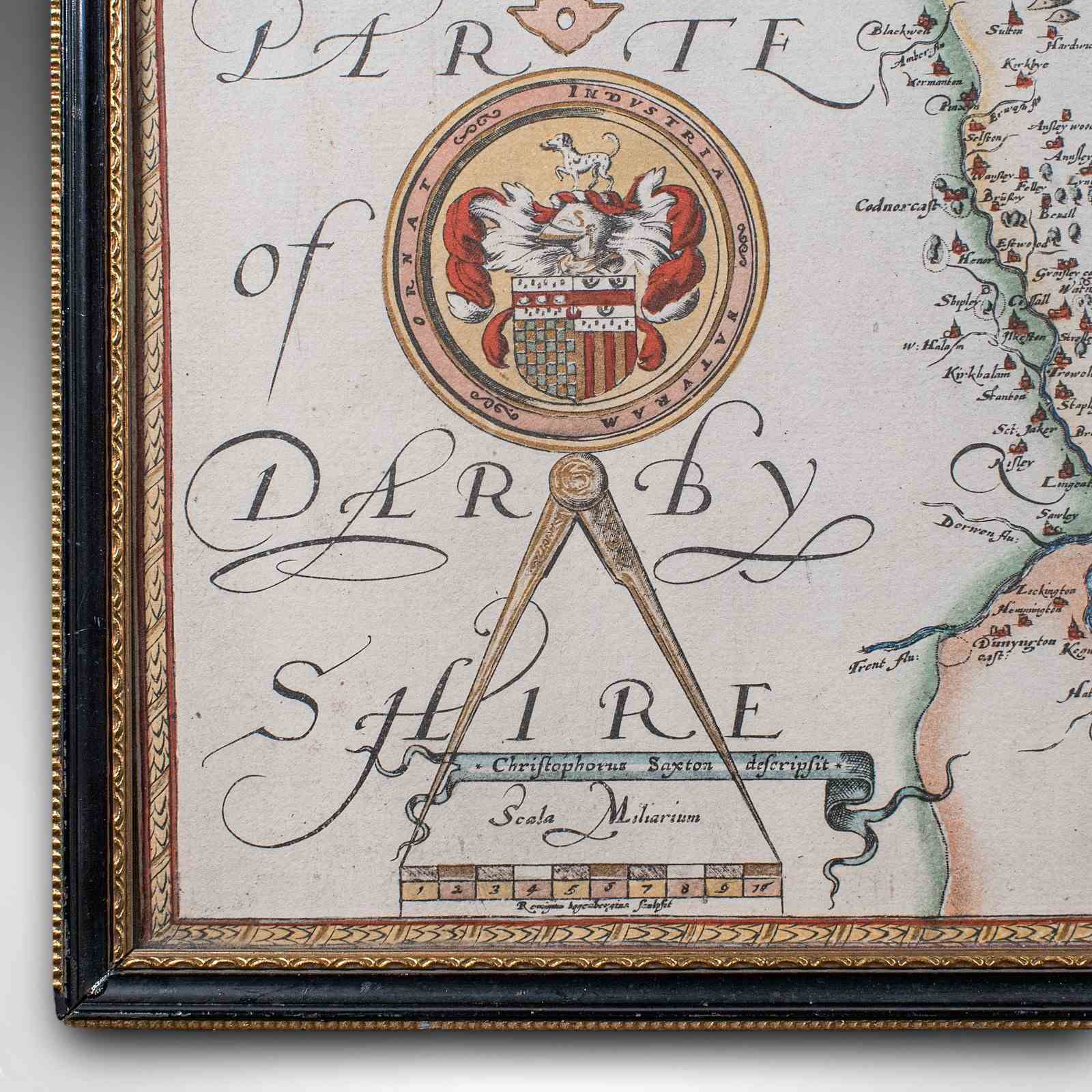
Carries the coat of arms for Elizabeth I, who commissioned Saxton's atlas
Published in 1579, within the Atlas of the Counties of England and Wales
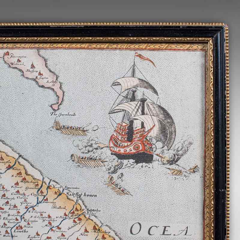
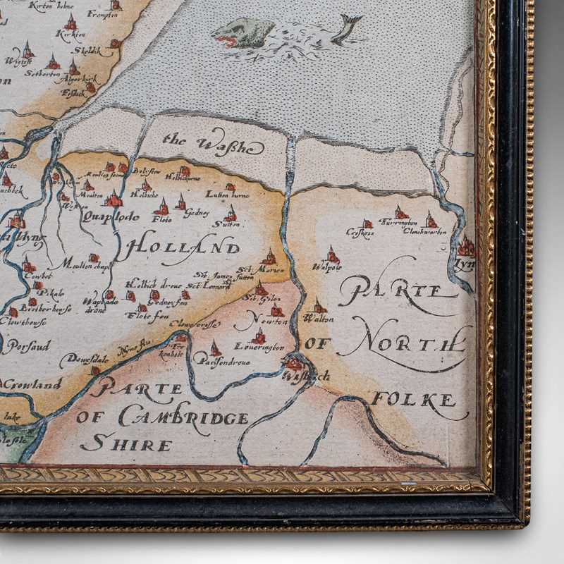
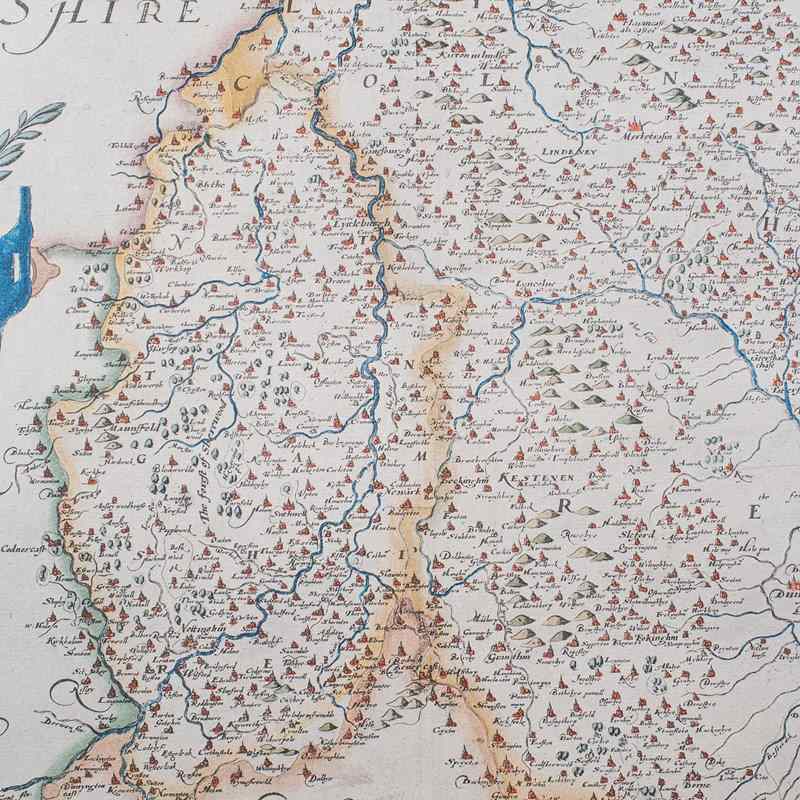
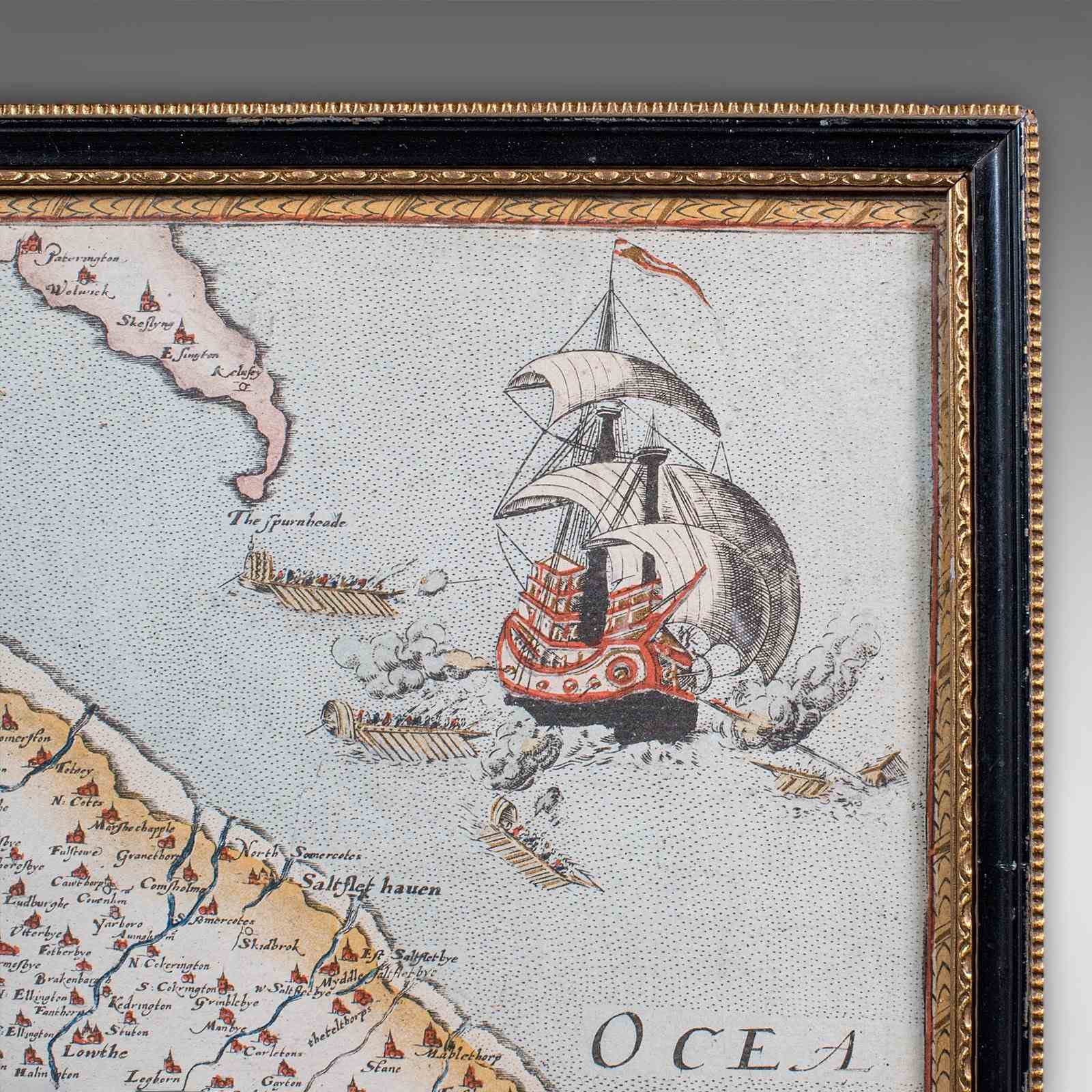
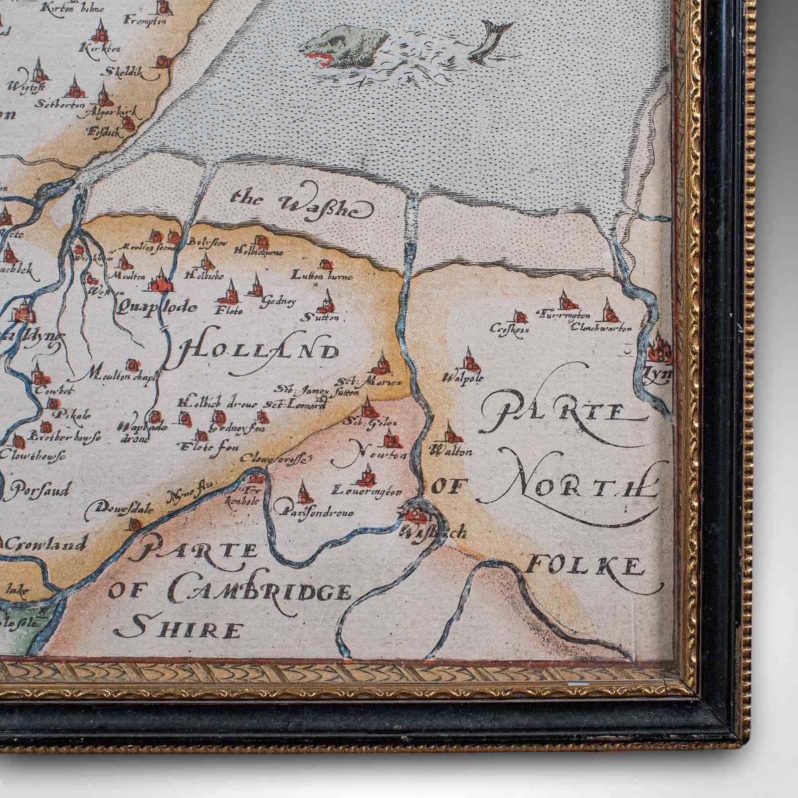
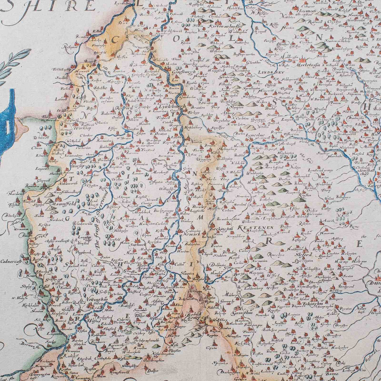
In high detail for the time, with both counties represented by rivers, hills and settlements
Represents distance in Latin as Scala Milliarium, accentuated between a set of compass legs
This is a fascinating vintage county map of Lincoln and Nottingham, with a fine representation of the 16th century original, and 17th century atlas publication. Delivered ready to display.
Dimensions:
Max Width: 55.5cm (21.75'')
Max Depth: 1.5cm (.5'')
Max Height: 43cm (17'')
Map Width: 52.5cm (20.75'')
Map Height: 40cm (15.75'')
Item Info
Seller
Seller Location
Hele, Devon
Item Dimensions
H: 43cm W: 55.5cm D: 1.5cm
Period
1970s
Item Location
United Kingdom
Seller Location
Hele, Devon
Item Location
United Kingdom
Seller Contact No
+44 (0)207 1833511
More from LONDON FINE ANTIQUES