Vintage Somerset County Map, English, Framed Cartography, After Thomas Moule
Stock No
26301
2024
- £275.00
- €321 Euro
- $370 US Dollar
Questions about this item?
Like this item?
Item Description
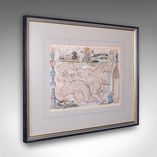
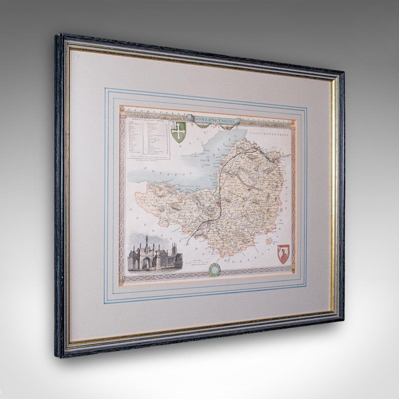
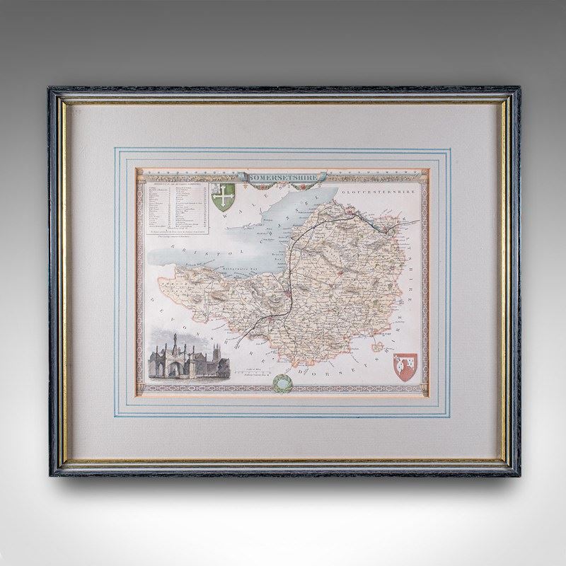
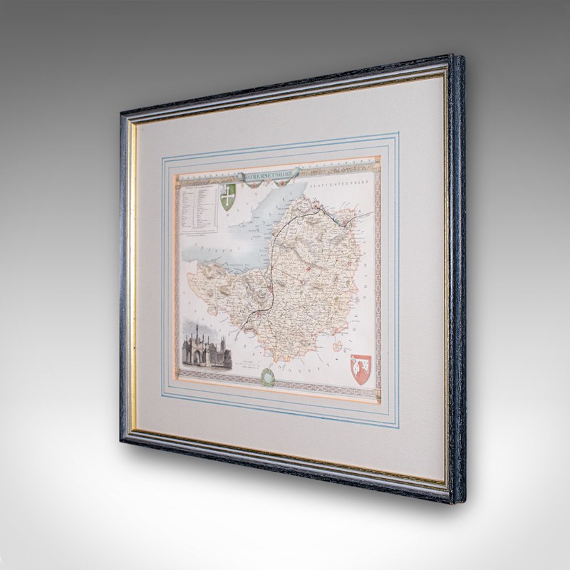
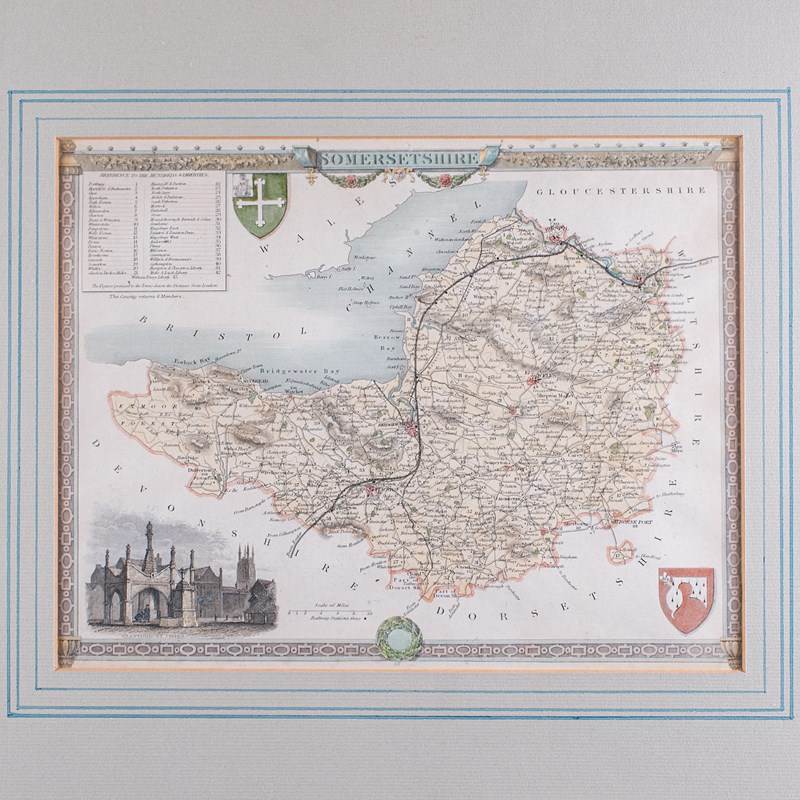
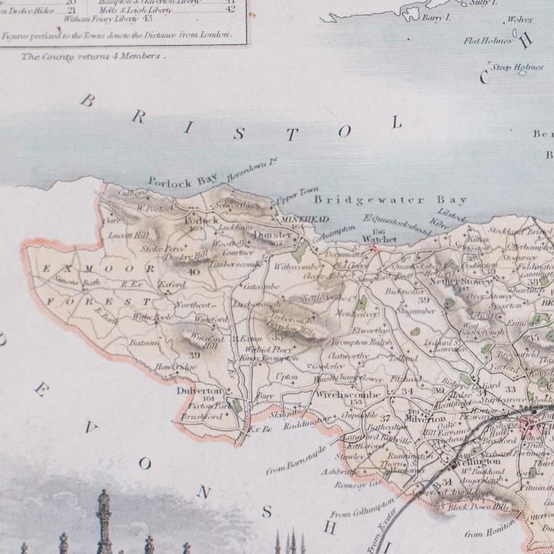
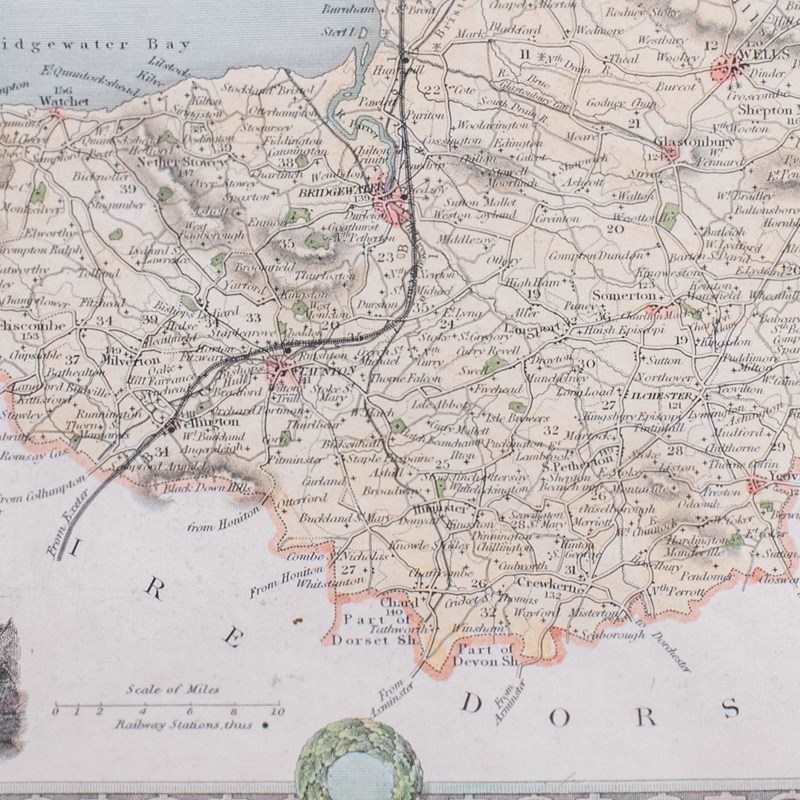
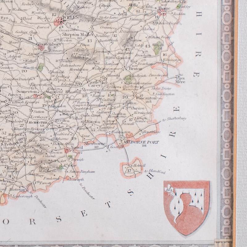
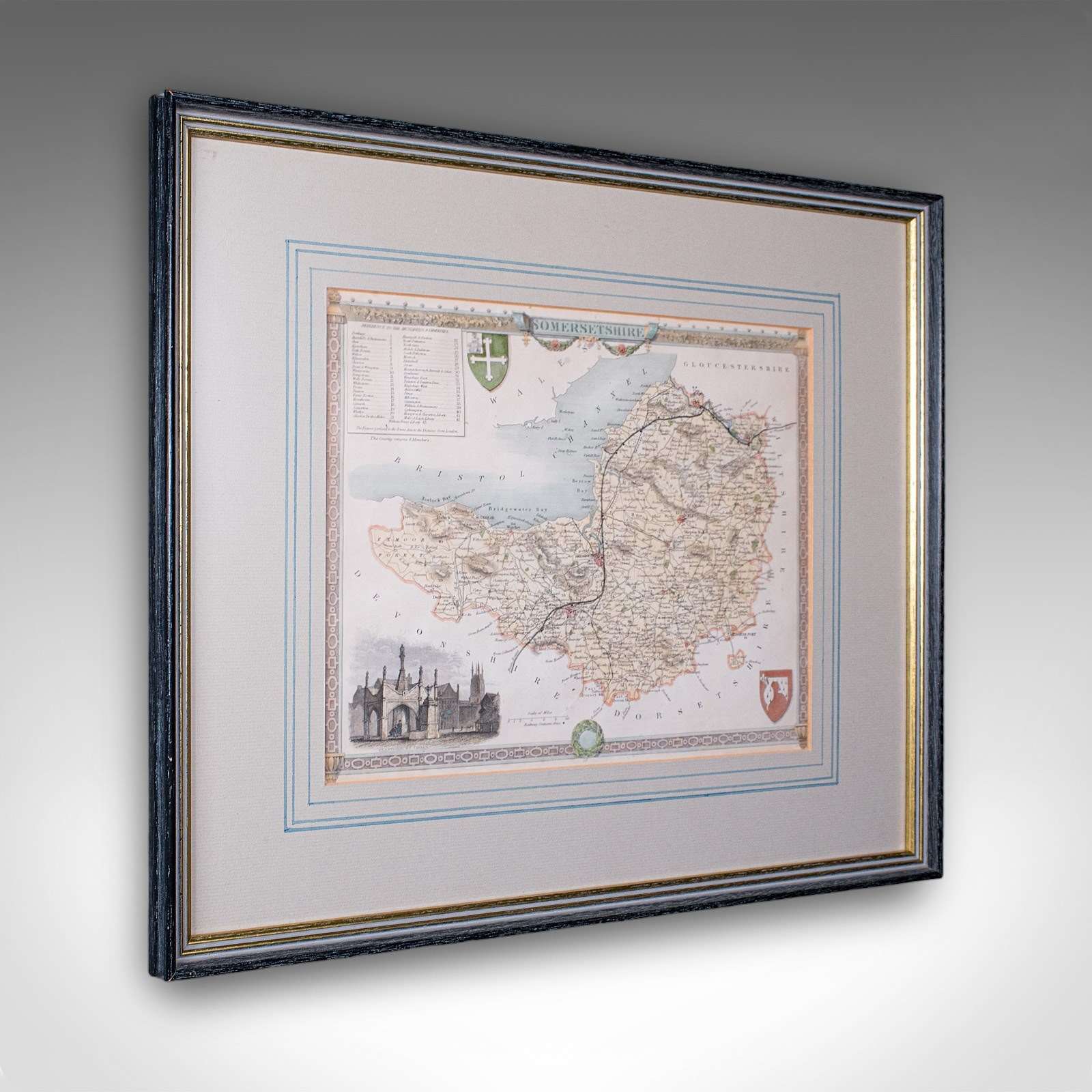
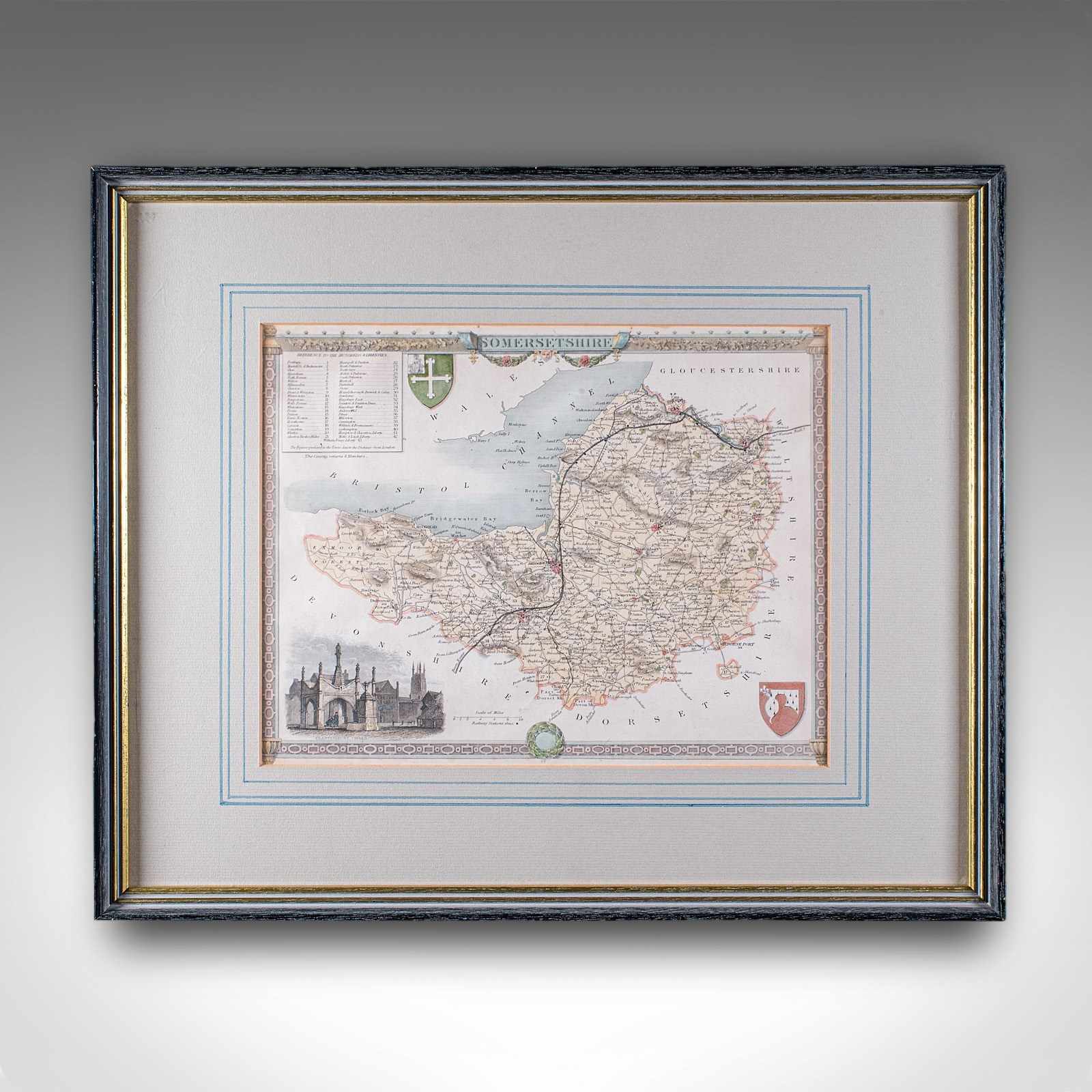
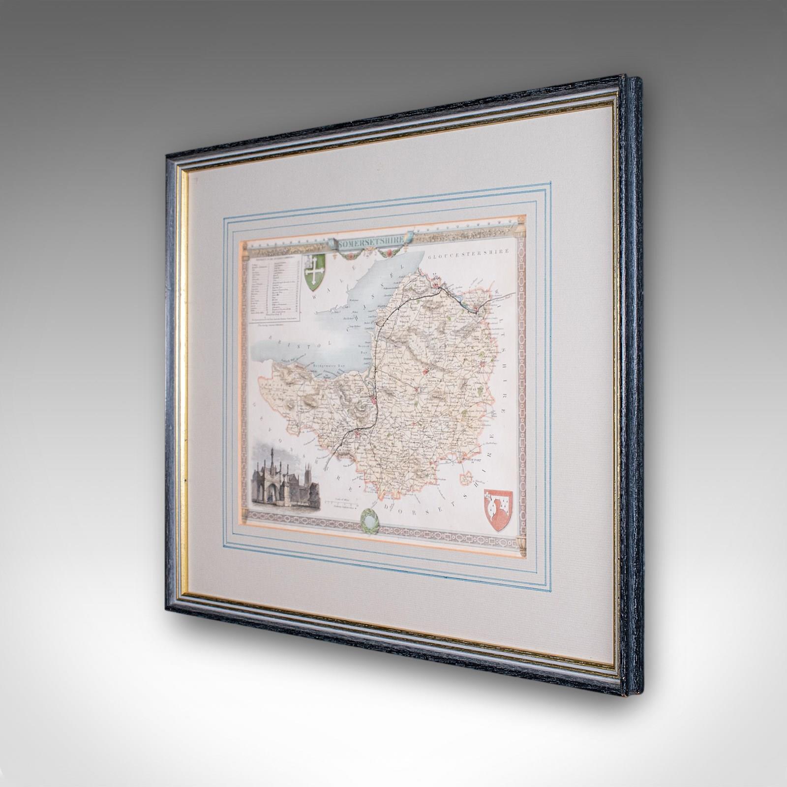
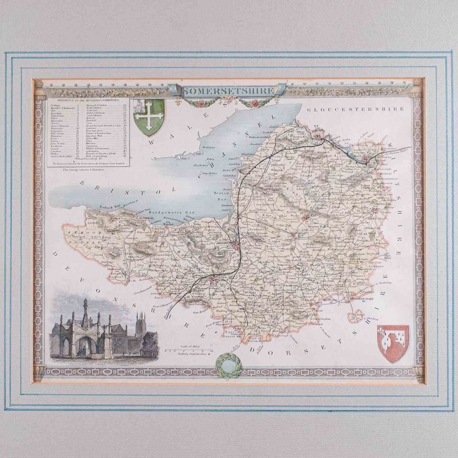
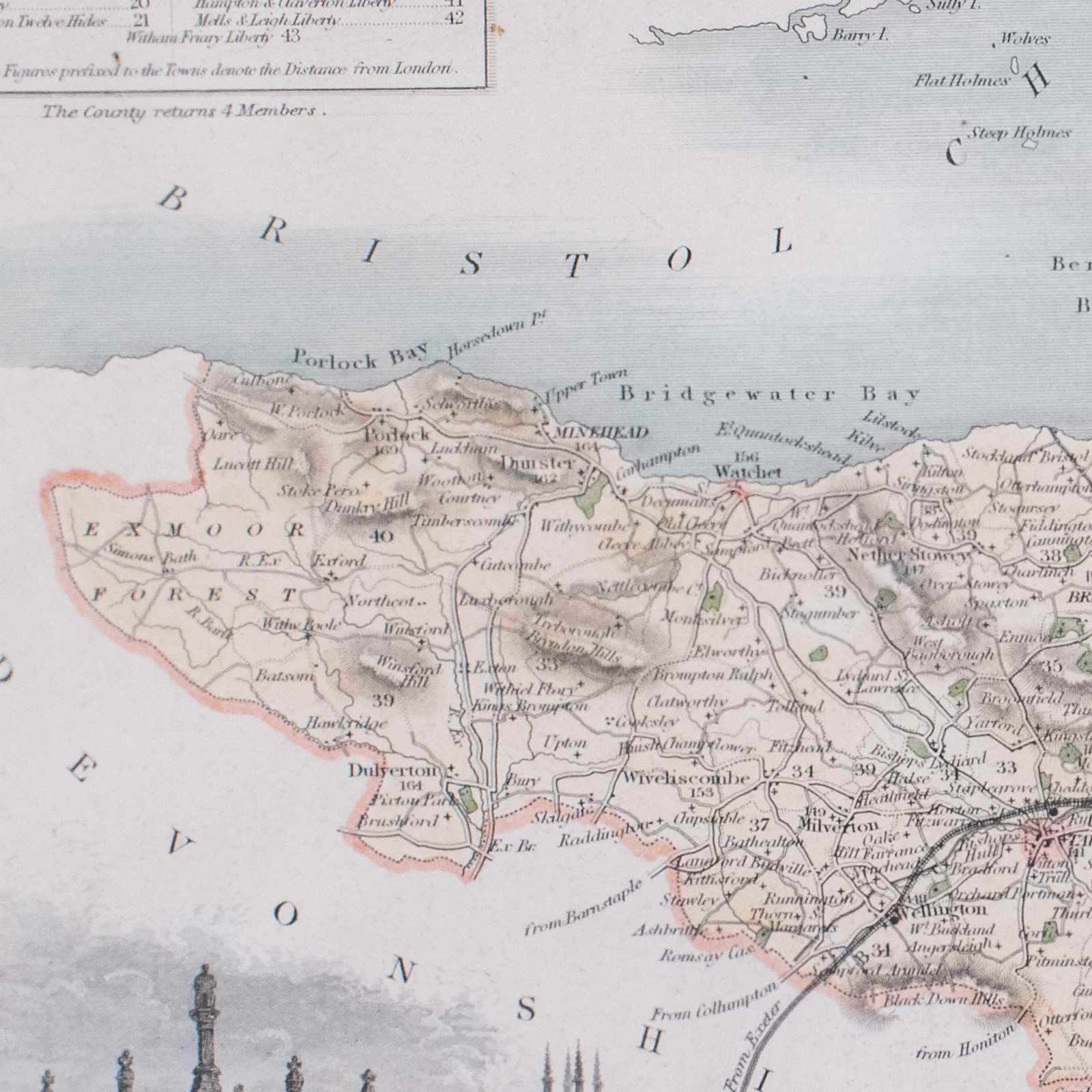
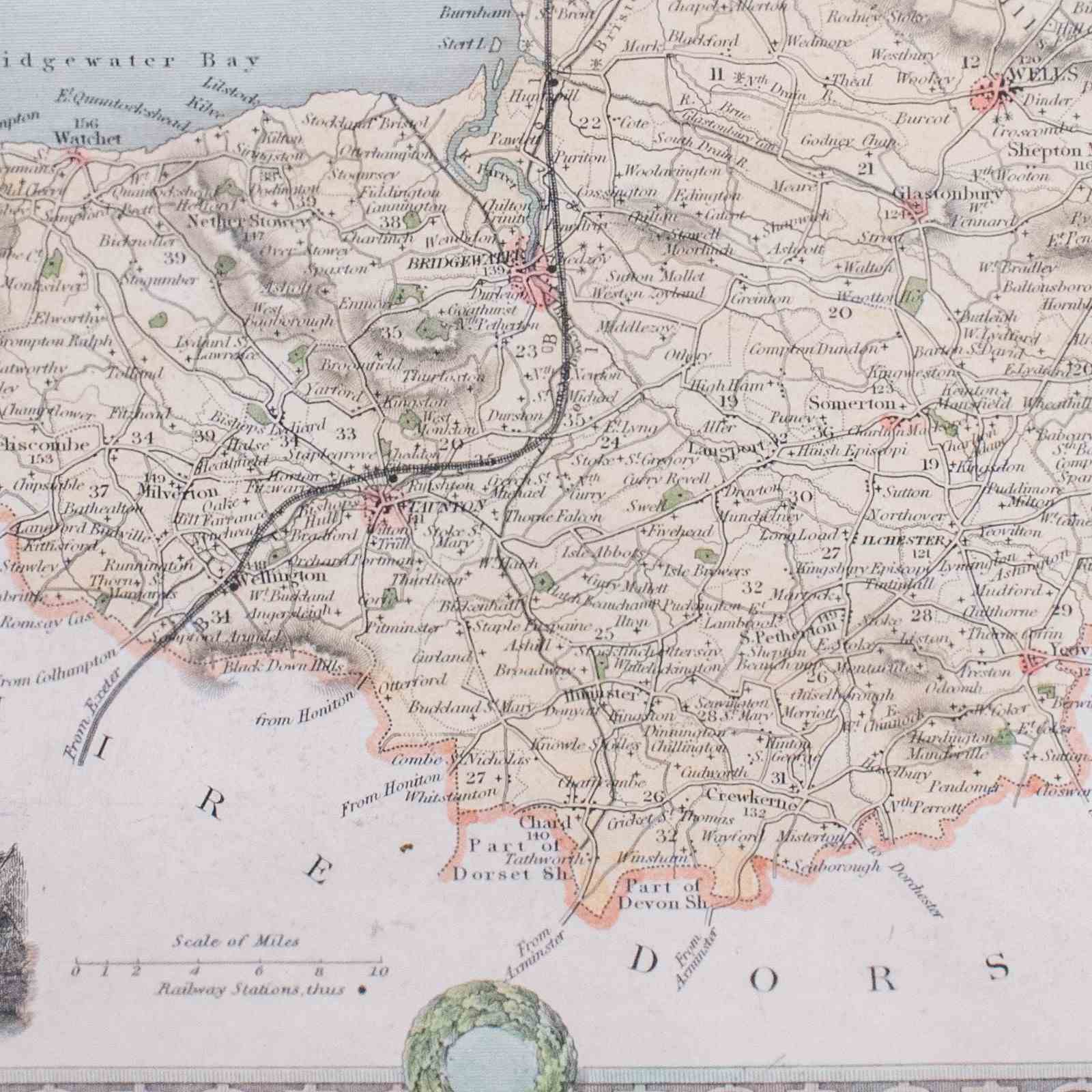
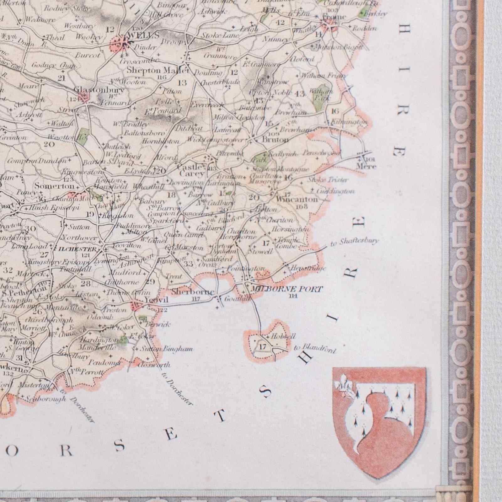
This is a vintage county map of Somerset. An English, atlas reproduction of the Thomas Moule original, dating to the late 20th century, circa 1980.
Endearing mid-19th century cartography, after the renowned Thomas Moule
Displaying a desirable aged patina and in good vintage order
Presented behind diffusion glass for a soft, matte finish
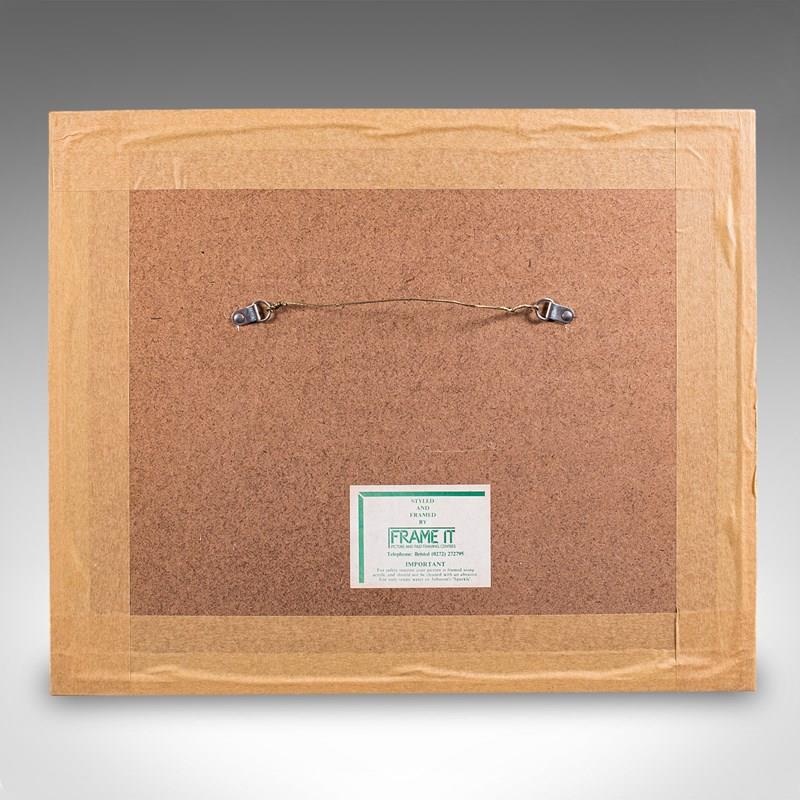
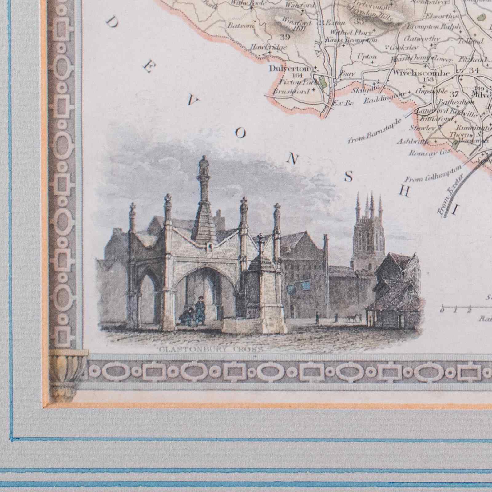
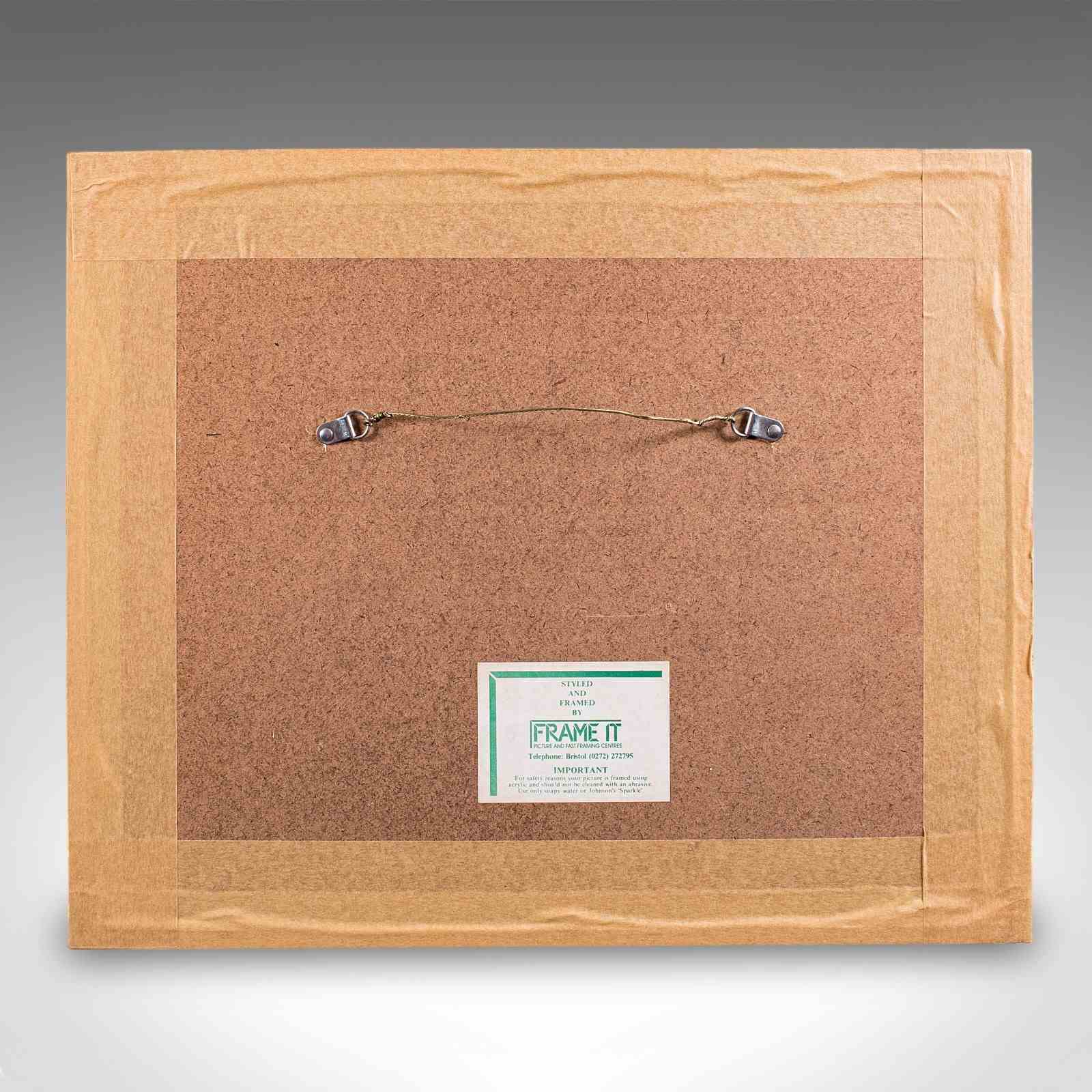
Later frame with ebonised and gilt border, dressed with hanging wire to the reverse
Fascinating cartography, as expected of the renowned Thomas Moule (1784 - 1851)
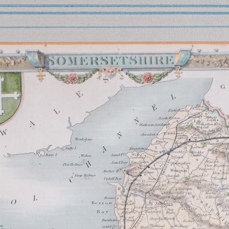
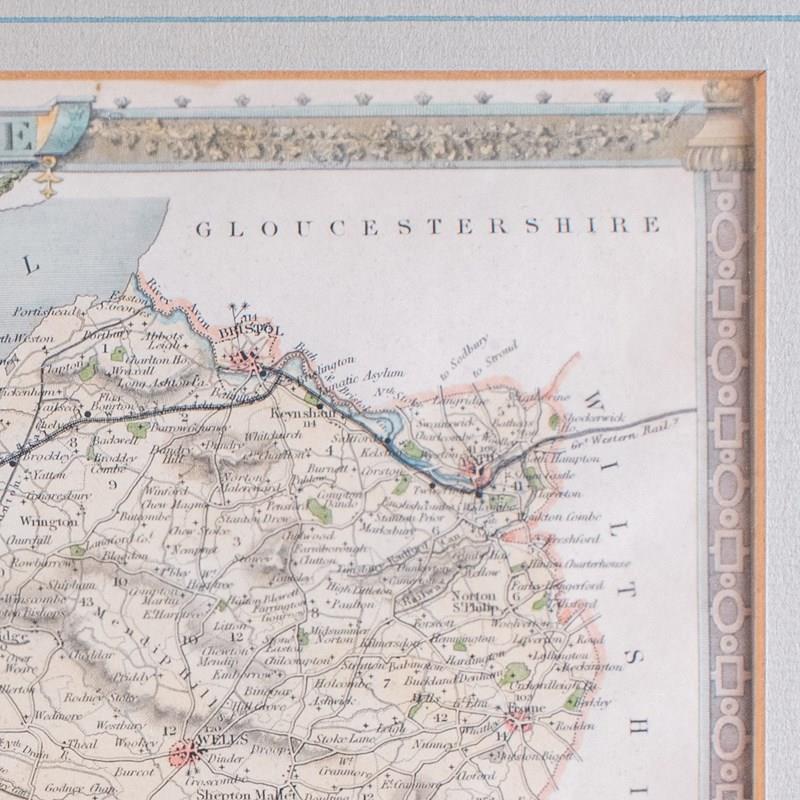
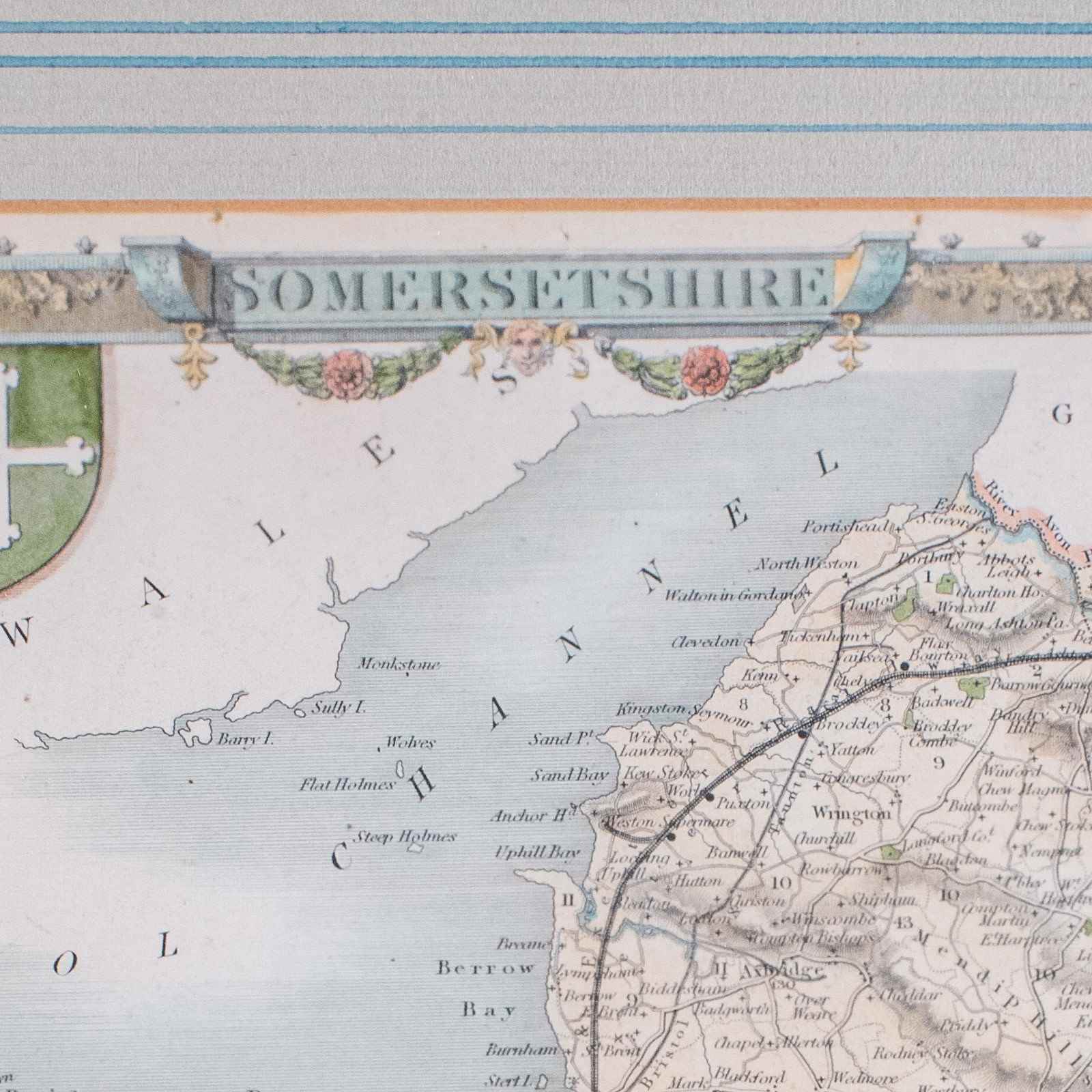
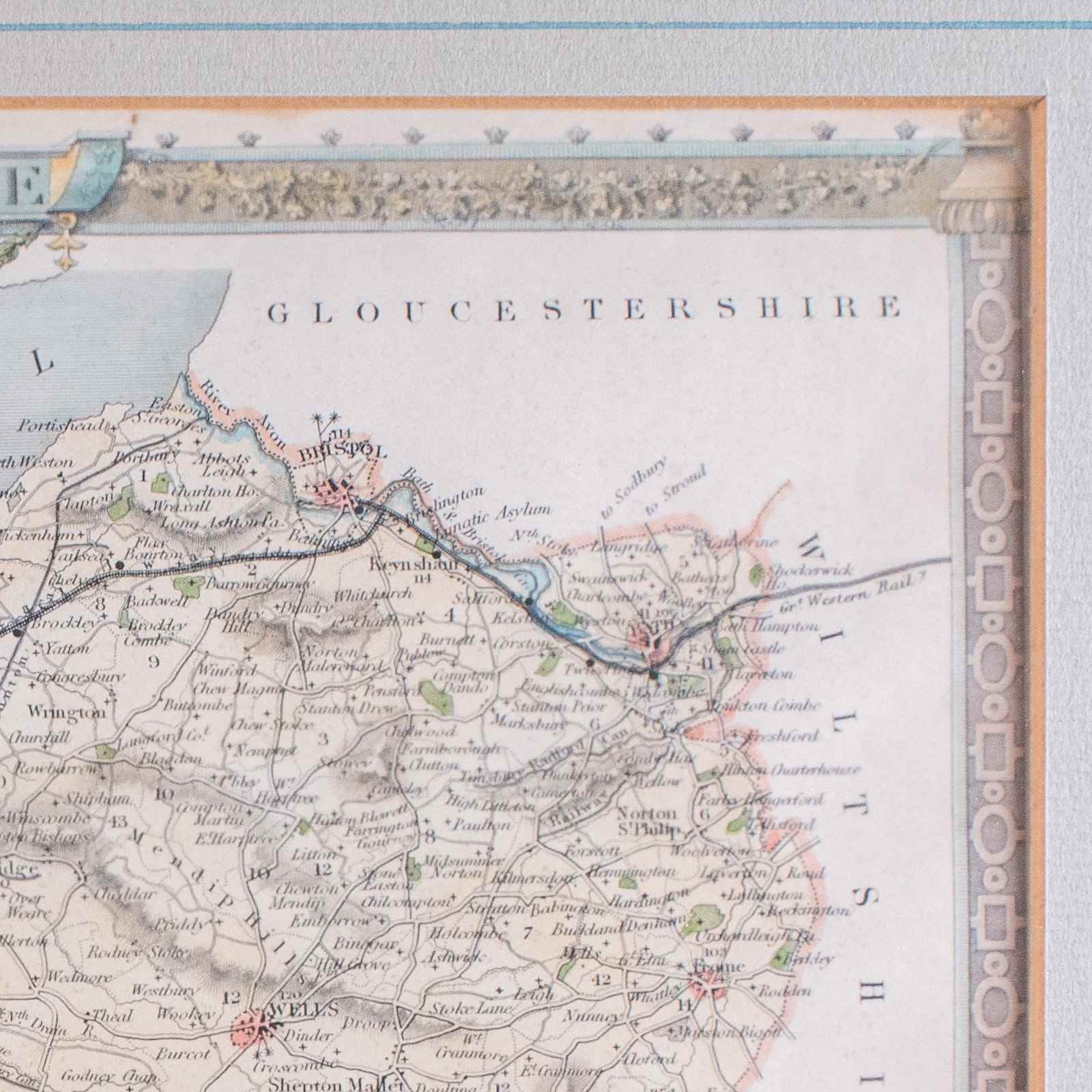
Gives excellent detail to Somersetshire as it was known in period
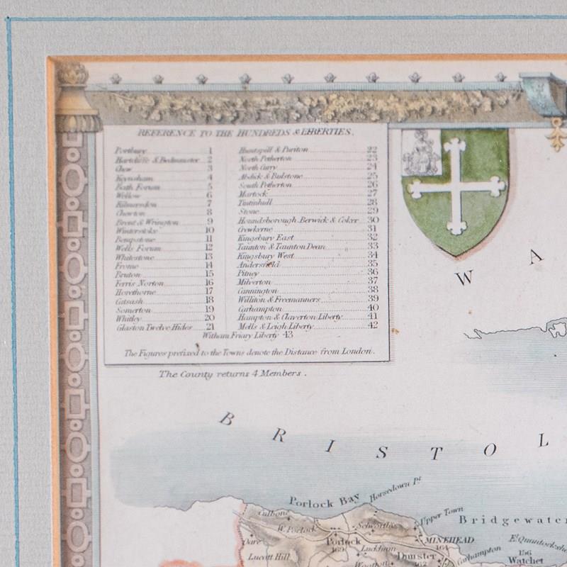
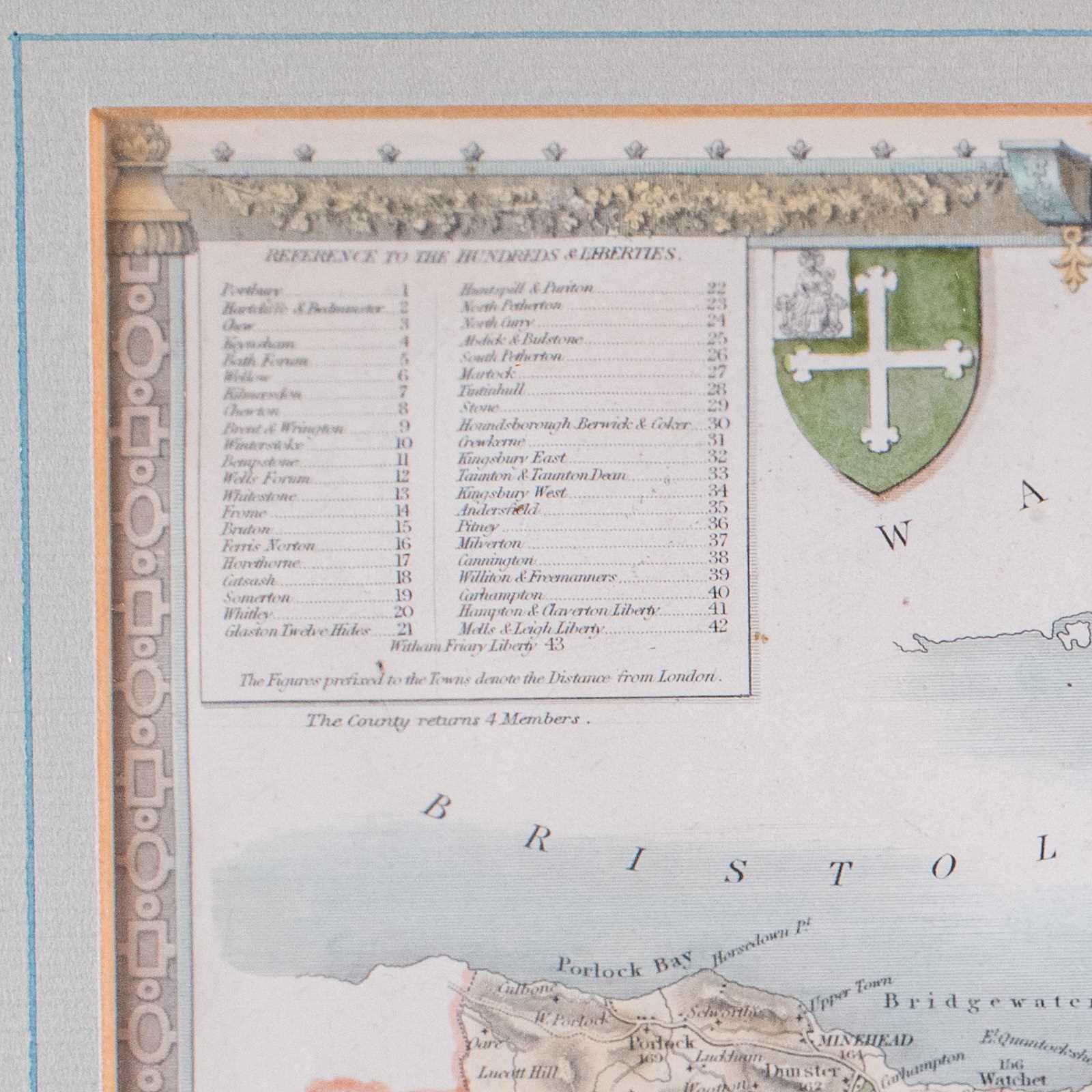
Accentuated with heraldic elements with the crest of Wells and Bath respectively
Hand colouring adds borders and distinction to the decorative touches
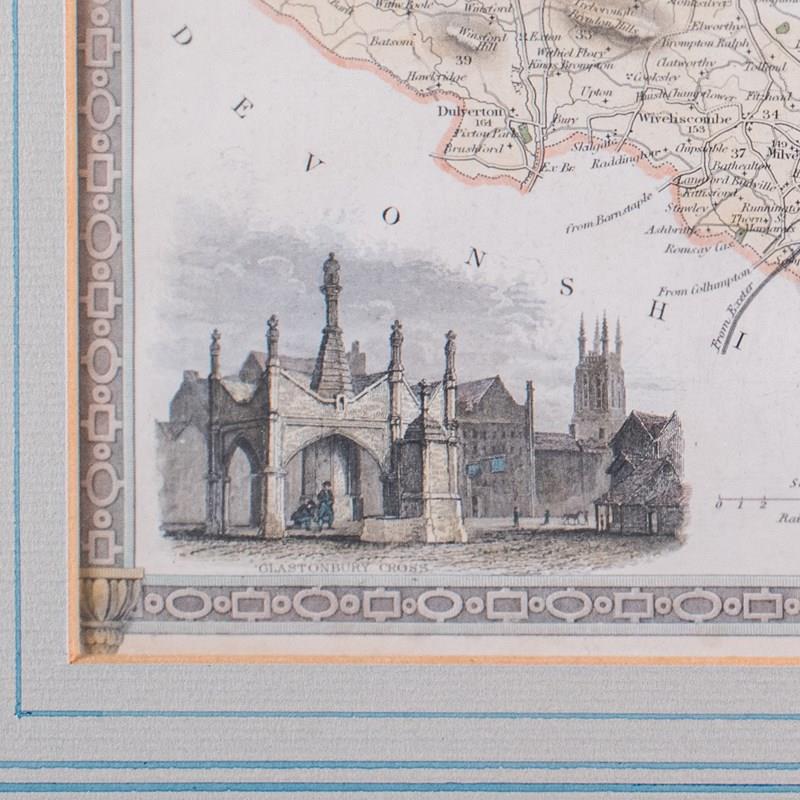
Architectural vignette shows Glastonbury Cross, a market cross in the town
Reference is given to the Hundreds and Liberties, administrative boundaries in use until the late 19th century
This is a charming vintage county map of Somerset, with a nicely detailed and presentable reproduction of the Thomas Moule original behind a soft matte glass. A treat for area residents, descendants or collectors. Delivered ready to display.
Dimensions:
Max Width: 42.5cm (16.75'')
Max Depth: 2cm (.75'')
Max Height: 35cm (13.75'')
Map Width: 26.5cm (10.5'')
Map Height: 20.5cm (8'')
Item Info
Seller
Seller Location
Hele, Devon
Item Dimensions
H: 35cm W: 42.5cm D: 2cm
Period
1990s
Item Location
United Kingdom
Seller Location
Hele, Devon
Item Location
United Kingdom
Seller Contact No
+44 (0)207 1833511